Vicksburg in Warren County, Mississippi — The American South (East South Central)
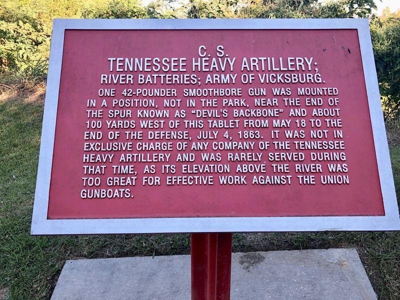
C.S. Tennessee Heavy Artillery;
River Batteries; Army of Vicksburg.
Erected by National Park Service, Department of the Interior.
Topics. This historical marker is listed in these topic lists: War, US Civil • Waterways & Vessels. A significant historical date for this entry is May 18, 1863.
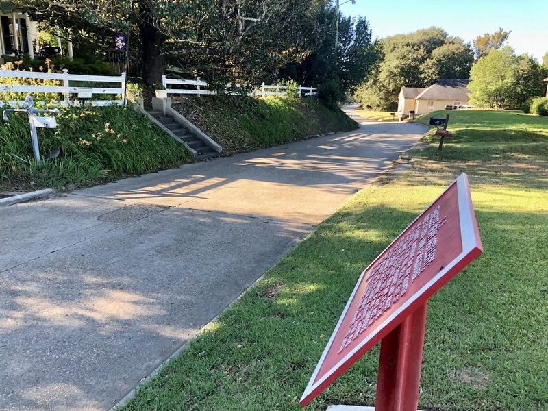
Location. 32° 21.779′ N, 90° 52.437′ W. Marker is in Vicksburg, Mississippi, in Warren County. Marker is on Fort Hill Road south of Elizabeth Street, on the right when traveling south. Touch for map. Marker is at or near this postal address: 721 Fort Hill Rd, Vicksburg MS 39183, United States of America. Touch for directions.
Other nearby markers. At least 8 other markers are within walking distance of this marker. C.S. Johnston's Company, (approx. 0.3 miles away); C.S. Company C, (approx. 0.3 miles away); a different marker also named C.S. Johnston's Company (approx. 0.4 miles away); C.S. Company D, (approx. 0.4 miles away); C.S. Company B, (approx. 0.4 miles away); C.S. Company A, (approx. 0.4 miles away); a different marker also named C.S. Company A, (approx. 0.4 miles away); The Fleckenstein - Coccaro Grocery Store 1839 - 1965 (approx. half a mile away). Touch for a list and map of all markers in Vicksburg.
Credits. This page was last revised on August 1, 2023. It was originally submitted on November 2, 2017, by Mark Hilton of Montgomery, Alabama. This page has been viewed 298 times since then and 7 times this year. Last updated on November 30, 2017, by T. Patton of Jefferson, Georgia. Photos: 1, 2, 3. submitted on November 2, 2017, by Mark Hilton of Montgomery, Alabama. • Bill Pfingsten was the editor who published this page.


