Anthracite Tidewater Canals
"Throughout the season of business, & this year [1832] is but the beginning of a navigation by Canal to tide; their business is expected to increase several fold, & so the employment for Hands."
Josiah White, co-founder
Lehigh [Coal and] Navigation Company
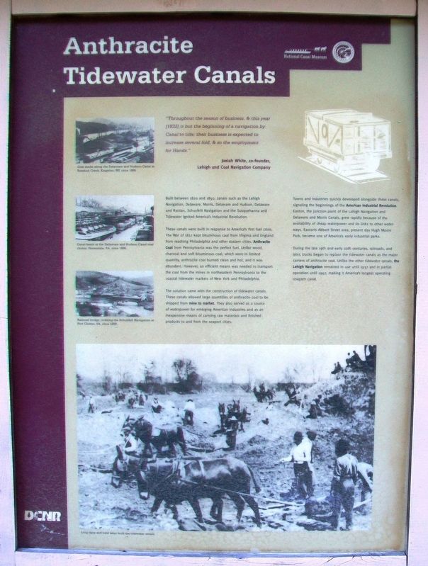
Built between 1820 and 1850, canals such as the Lehigh Navigation, Delaware, Morris, Delaware and Hudson, Delaware and Raritan, Schuylkill Navigation and the Susquehanna and Tidewater ignited America's Industrial Revolution.
These canals were built in response to America's first fuel crisis. The War of 1812 kept bituminous coal from Virginia and England from reaching Philadelphia and other eastern cities. Anthracite Coal from Pennsylvania was the perfect fuel. Unlike wood, charcoal and soft bituminous coal, which were in limited quantity, anthracite coal burned clean and hot, and it was abundant. However, an efficient means was needed to transport the coal from the mines in northeastern Pennsylvania to the coastal tidewater markets of New York and Philadelphia.
The solution came with the construction of tidewater canals. These canals allowed large quantities of anthracite coal to be shipped from mine to market. They also served as a source of waterpower for emerging American industries and as an inexpensive means of carrying raw
materials and finished products to and from the seaport cities.Towns and industries quickly developed alongside these canals, signaling the beginnings of the American Industrial Revolution. Easton, the junction point of the Lehigh Navigation and Delaware and Morris Canals, grew rapidly because of the availability of cheap waterpower and its links to other waterways. Easton's Abbott Street area, present day Hugh Moore Park, became one of America's early industrial parks.
During the late 19th and early 20th centuries, railroads, and later, trucks began to replace the tidewater canals as the major carriers of anthracite coal. Unlike the other tidewater canals, the Lehigh Navigation remained in use until 1932 and in partial operation until 1942, making it America's longest operating towpath canal.
[Photo captions, from top to bottom, read]
• Coal docks along the Delaware and Hudson Canal at Rondout Creek, Kingston, NY circa 1886.
• Canal boats at the Delaware and Hudson Canal coal chutes, Honesdale, PA circa 1895.
• Railroad bridge crossing the Schuylkill Navigation at Port Clinton, PA circa 1890.
• Long days and hard labor built the tidewater canals.
Erected by Delaware & Lehigh National Heritage Corridor, National Canal Museum, and PA DCNR.
Topics. This historical marker is listed in
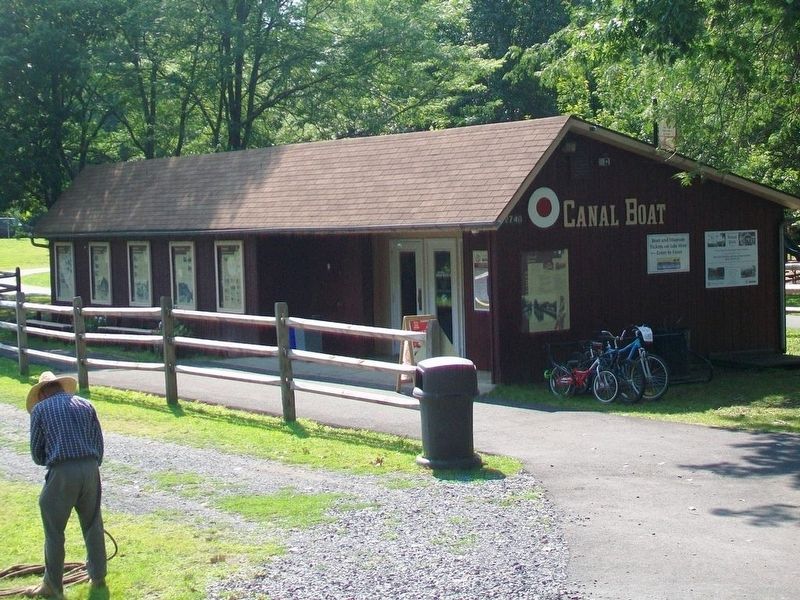
Location. 40° 39.748′ N, 75° 14.317′ W. Marker is in Easton, Pennsylvania, in Northampton County. Marker is near the Josiah White II canal boat loading area in Hugh Moore Park. Touch for map. Marker is at or near this postal address: 2750 Hugh Moore Park Road, Easton PA 18042, United States of America. Touch for directions.
Other nearby markers. At least 8 other markers are within walking distance of this marker. Easton & Nearby Heritage Attractions (here, next to this marker); Making Tracks (here, next to this marker); From Waterways to Highways (here, next to this marker); Exploring The Corridor (here, next to this marker); Canal Boats (a few steps from this marker); From Mountain to Market (a few steps from this marker); The Canaler's Life (a few steps from this marker); It's a Short Commute (a few steps from this marker). Touch for a list and map of all markers in Easton.
Also see . . .
1. Delaware & Lehigh National Heritage Corridor. (Submitted on November 5, 2017, by William Fischer, Jr. of Scranton, Pennsylvania.)
2. National Canal Museum . (Submitted on November 5, 2017, by William Fischer, Jr. of Scranton, Pennsylvania.)
3. Canal History. (Submitted on November 5, 2017, by William Fischer, Jr. of Scranton, Pennsylvania.)
4. A Brief History of the Delaware Canal. (Submitted on November 5, 2017, by William Fischer, Jr. of Scranton, Pennsylvania.)
5. Introduction to Pennsylvania's Historic Canals. (Submitted on November 5, 2017, by William Fischer, Jr. of Scranton, Pennsylvania.)
Credits. This page was last revised on November 5, 2017. It was originally submitted on November 3, 2017, by William Fischer, Jr. of Scranton, Pennsylvania. This page has been viewed 210 times since then and 16 times this year. Photos: 1. submitted on November 5, 2017, by William Fischer, Jr. of Scranton, Pennsylvania. 2. submitted on November 4, 2017, by William Fischer, Jr. of Scranton, Pennsylvania.

