Lewiston in Nez Perce County, Idaho — The American West (Mountains)
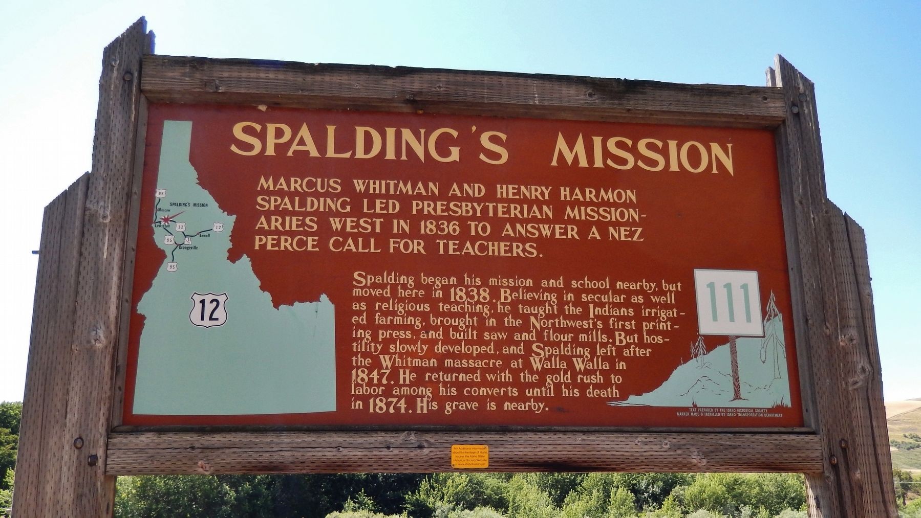
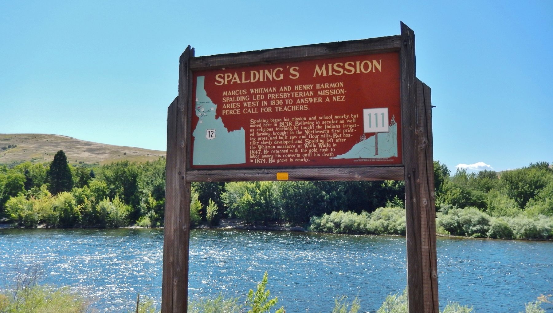
Spalding's Mission
Marcus Whitman and Henry Harmon Spalding
— led Presbyterian Missionaries West in 1836 to answer a Nez Perce call for teachers —
Erected by Idaho Historical Society & Idaho Transportation Department. (Marker Number 111.)
Topics and series. This historical marker is listed in these topic lists: Churches & Religion • Education • Industry & Commerce • Native Americans. In addition, it is included in the Idaho State Historical Society series list. A significant historical year for this entry is 1836.
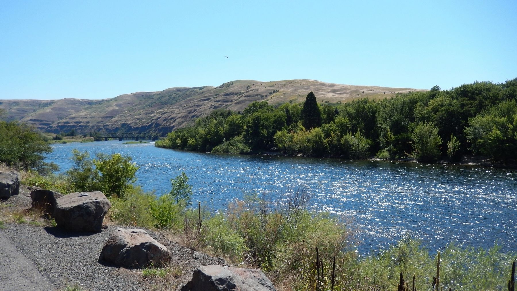
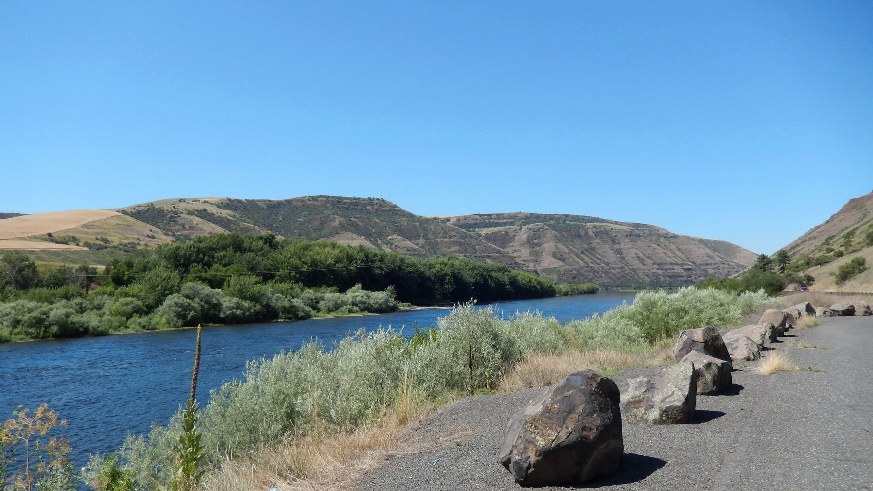
Location. 46° 27.141′ N, 116° 49.101′ W. Marker is in Lewiston, Idaho, in Nez Perce County. Marker is on U.S. 12, 2 miles east of U.S. 95, on the right when traveling east. Marker is located in a scenic pull-out overlooking the Clearwater River. Touch for map. Marker is in this post office area: Lewiston ID 83501, United States of America. Touch for directions.
Other nearby markers. At least 8 other markers are within walking distance of this marker. Clearwater River (about 700 feet away, measured in a direct line); Spalding Home Site (approx. 0.2 miles away); Spalding Mission (approx. 0.2 miles away); Spalding’s Gristmill Canals (approx. 0.2 miles away); Indian Agency Cabin (approx. 0.2 miles away); Site of the Lapwai Mission (approx. 0.2 miles away); Lapwai Mission Cemetery (approx. ¼ mile away); Rev. Henry Harmon Spalding (approx. ¼ mile away).
More about this marker. Large wooden marker in good condition
Credits. This page was last revised on November 9, 2017. It was originally submitted on November 7, 2017, by Cosmos Mariner of Cape Canaveral, Florida. This page has been viewed 272 times since then and 19 times this year. Photos: 1, 2, 3, 4. submitted on November 7, 2017, by Cosmos Mariner of Cape Canaveral, Florida. • Bill Pfingsten was the editor who published this page.


