Near Challis in Custer County, Idaho — The American West (Mountains)
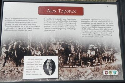
Alex Toponce
George Hearst, stockholder in the Custer Mining Company, wanted to build a mill but there was no road between Challis and Custer for wagons and mules to use to haul the heavy equipment. Alex Toponce, a personal friend of Hearst, arrived at Challis in 1879 to begin planning and building a connecting road.
Within a year, Toponce secured partners and completed the Toll Road. He negotiated contracts to haul freight and mail to Custer and gold bullion out to market. Toponce also operated a four-horse stage line from Challis to the nearest railway at Blackfoot, Idaho, a distance of 156 miles covered by stage in twenty-four hours. In 1882, Gilmore & Salisbury outbid Toponce on the lucrative mail contract and Toponce sold his share of the stage line and move to Corinne, Utah.
"The mail came in this evening for the last time on the pony, and in the future will come in on the Toponce-Meyers Stage." Yankee Fork Herald, October 2, 1879
Erected by U.S. Forest Service, Idaho Department of Parks and Recreation, and the Bureau of Land Management.
Topics. This historical marker is listed in these topic lists: Industry & Commerce • Roads & Vehicles. A significant historical date for this entry is October 2, 1879.
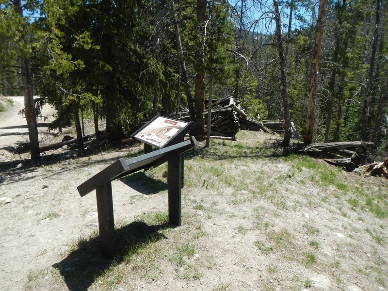
Location. 44° 27.744′ N, 114° 29.016′ W. Marker is near Challis, Idaho, in Custer County. Marker is on Custer Motorway Adventure Road - Mill Creek Road (Forest Road 070), on the left when traveling west. Touch for map. Marker is in this post office area: Challis ID 83226, United States of America. Touch for directions.
Other nearby markers. At least 6 other markers are within 15 miles of this marker, measured as the crow flies. Tollgate Station (a few steps from this marker); Eleven Mile Barn (approx. 4.7 miles away); Corkscrew Grade (approx. 7.4 miles away); Parting of the Ways (approx. 8.1 miles away); Custer Cemetery (approx. 11 miles away); Clayton Smelter (approx. 14.7 miles away).
Credits. This page was last revised on November 17, 2019. It was originally submitted on November 8, 2017, by Barry Swackhamer of Brentwood, California. This page has been viewed 227 times since then and 13 times this year. Photos: 1, 2. submitted on November 8, 2017, by Barry Swackhamer of Brentwood, California.

