Eagle Lake in Charlotte in Mecklenburg County, North Carolina — The American South (South Atlantic)
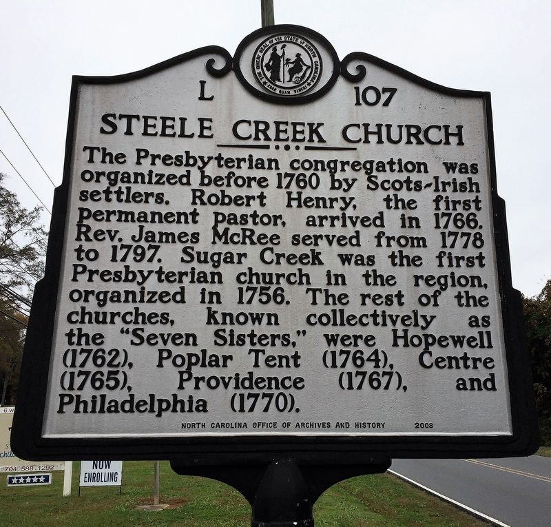
Steele Creek Church
Inscription.
The Presbyterian congregation was organized before 1760 by Scots-Irish settlers. Robert Henry, the first permanent pastor, arrived in 1766. Rev. James McRee served from 1778 to 1797. Sugar Creek was the first Presbyterian church in the region, organized in 1756. The rest of the churches, known collectively as the "Seven Sisters," were Hopewell (1762), Poplar Tent (1764), Centre (1765), Providence (1767), and Philadelphia (1770).
Erected 2008 by North Carolina Office of Archives and History. (Marker Number L-107.)
Topics and series. This historical marker is listed in these topic lists: Churches & Religion • Colonial Era • Settlements & Settlers. In addition, it is included in the North Carolina Division of Archives and History series list. A significant historical year for this entry is 1760.
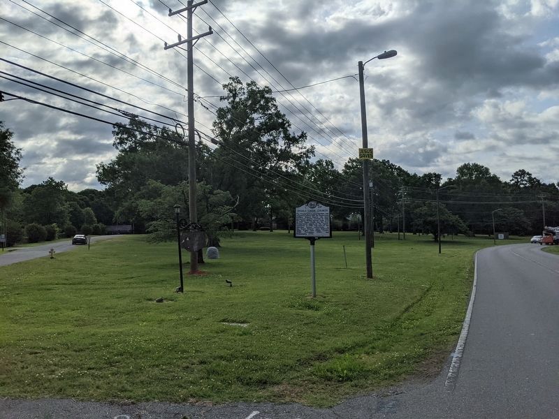
Location. 35° 11.021′ N, 80° 57.441′ W. Marker is in Charlotte, North Carolina, in Mecklenburg County. It is in Eagle Lake. Marker is at the intersection of Steele Creek Road (State Highway 160) and Steele Creek Presbyterian Church, on the right when traveling north on Steele Creek Road. Touch for map. Marker is at or near this postal address: 7407 Steele Creek Rd, Charlotte NC 28217, United States of America. Touch for directions.
Other nearby markers. At least 8 other markers are within 6 miles of this marker, measured as the crow flies. Graham Family Homeplace (approx. 2.8 miles away); Boeing / Vertol CH-46A / E Sea Knight (approx. 3.2 miles away); PFC Raymond “Mike” Clausen Memorial (approx. 3.2 miles away); Charlotte Speedway (approx. 3.9 miles away); General Paul R. Younts Expressway (approx. 4.8 miles away); Camp Greene (approx. 5.1 miles away); Flood of 1916 (approx. 5.3 miles away); a different marker also named Camp Greene (approx. 5.3 miles away). Touch for a list and map of all markers in Charlotte.
Also see . . . L-107: North Carolina Highway Historical Marker Program. (Submitted on November 14, 2017, by Anthony Botti of Charlotte, North Carolina.)
Credits. This page was last revised on February 3, 2023. It was originally submitted on November 9, 2017, by Anthony Botti of Charlotte, North Carolina. This page has been viewed 521 times since then and 69 times this year. Photos: 1. submitted on November 9, 2017, by Anthony Botti of Charlotte, North Carolina. 2. submitted on May 16, 2021, by Mike Wintermantel of Pittsburgh, Pennsylvania. • Bill Pfingsten was the editor who published this page.

