Richmond in Carleton County, Ontario — Central Canada (North America)
Richmond Military Settlement
1818
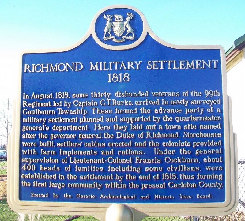
In August, 1818, some thirty disbanded veterans of the 99th Regiment, led by Captain G.T. Burke, arrived in newly surveyed Goulbourn Township. These formed the advance party of a military settlement planned and supported by the quartermaster-general's department. Here they laid out a town site named after the governor-general, the Duke of Richmond. Storehouses were built, settlers' cabins erected and the colonists provided with farm implements and rations. Under the general supervision of Lieutenant-Colonel Francis Cockburn, about 400 heads of families, including some civilians, were established in the settlement by the end of 1818, thus forming the first large community within the present Carleton County.
Erected by Ontario Archaeological and Historic Sites Board.
Topics. This historical marker is listed in this topic list: Settlements & Settlers. A significant historical month for this entry is August 1818.
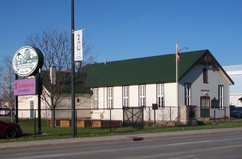
Location. 45° 11.705′ N, 75° 50.28′ W. Marker is in Richmond, Ontario, in Carleton County. Marker is on Perth Street just west of Huntley Road, on the right when traveling west. Marker is adjacent to the Richmond Fairgrounds. Touch for map. Marker is at or near this postal address: 6107 Perth Street, Richmond ON K0A 2Z0, Canada. Touch for directions.
Other nearby markers. At least 8 other markers are within 13 kilometers of this marker, measured as the crow flies. County of Carleton/Richmond Agricultural Society (here, next to this marker); War Memorial Cenotaph (about 90 meters away, measured in a direct line); St. Andrew's Presbyterian Church (approx. half a kilometer away); Loyal Orange Lodge #151 (approx. 0.6 kilometers away); Charles Lennox (approx. 4.8 kilometers away); Army / Armée (approx. 12.6 kilometers away); Family Life / la vie familiale (approx. 12.6 kilometers away); Navy / Marine (approx. 12.6 kilometers away). Touch for a list and map of all markers in Richmond.

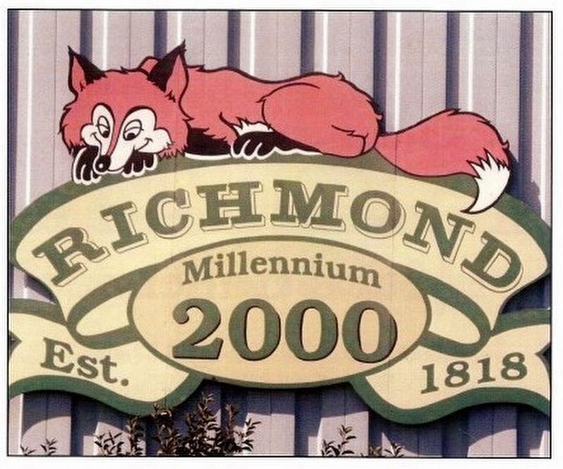
via Richmond Village Association, unknown
2. History of Richmond
Richmond Village Association blog entry
Click for more information.
Click for more information.
Credits. This page was last revised on December 24, 2021. It was originally submitted on November 12, 2017, by William Fischer, Jr. of Scranton, Pennsylvania. This page has been viewed 711 times since then and 34 times this year. Photos: 1. submitted on November 12, 2017, by William Fischer, Jr. of Scranton, Pennsylvania. 2. submitted on December 24, 2021, by Larry Gertner of New York, New York. 3. submitted on November 12, 2017, by William Fischer, Jr. of Scranton, Pennsylvania.

