Saint Maries in Benewah County, Idaho — The American West (Mountains)
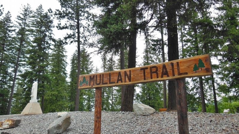
Mullan Trail Road
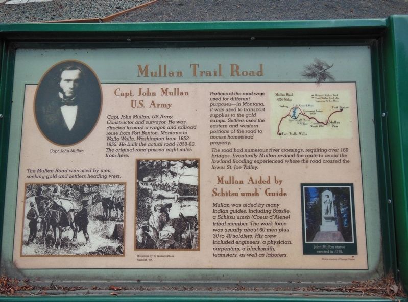
Capt. John Mullan U.S. Army
Capt. John Mullan, US Army, Constructor and surveyor. He was directed to mark a wagon and railroad route from Fort Benton, Montana to Walla Walla, Washington from 1853-1855. He built the actual road 1859-62. The original road passed eight miles from here.
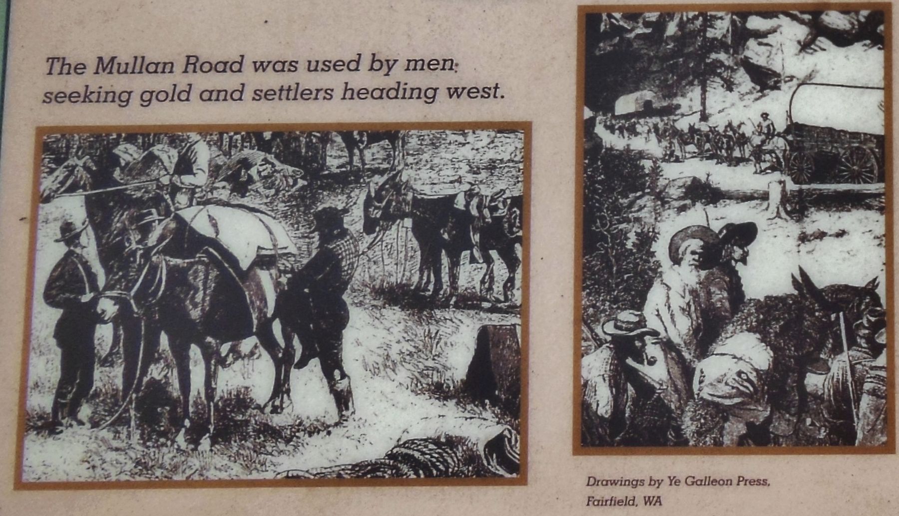
Portions of the road were used for different purposes – in Montana, it was used to transport supplies to the gold camps. Settlers used the eastern and western portions of the road to access homestead property.
The road had numerous river crossings, requiring over 160 bridges. Eventually Mullan revised the route to avoid the lowland flooding experienced where the road crossed the lower St. Joe Valley.
Mullan Aided by Schitsu’umsh’ Guide
Mullan was aided by many Indian guides, including Bassile, a Schitsu’umsh (Coeur d’Alene) tribal member. The work force was usually about 60 men plus 30 to 40 soldiers. His crew included engineers, a physician, carpenters, a blacksmith, teamsters, as well as laborers.
Topics. This historical marker is listed in these topic lists: Exploration • Native Americans • Roads & Vehicles • Settlements & Settlers.
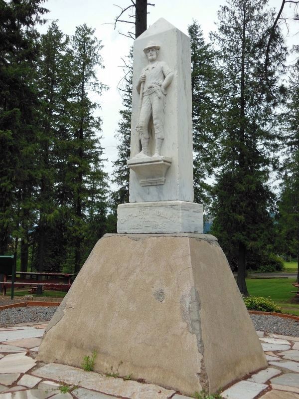
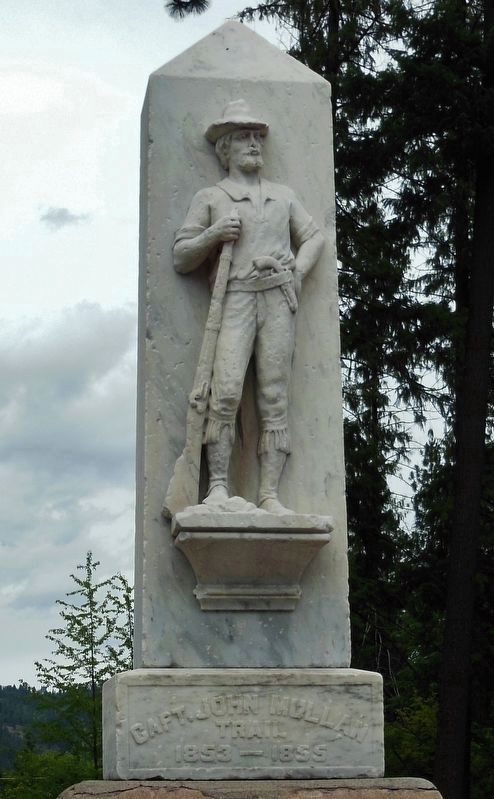
Location. 47° 19.101′ N, 116° 35.225′ W. Marker is in Saint Maries, Idaho, in Benewah County. Marker is on State Highway 5, 0.1 miles west of North 23rd Street, on the right when traveling west. Marker is located in Mullan Trail Park, near the John Mullan Trail Monument which is a tall, white obelisk easily visible from the street. Touch for map. Marker is in this post office area: Saint Maries ID 83861, United States of America. Touch for directions.
Other nearby markers. At least 8 other markers are within 2 miles of this marker, measured as the crow flies. John Mullan (a few steps from this marker); Splash Dam at Hobo Creek (within shouting distance of this marker); Willamette Steam Donkey Engine (within shouting distance of this marker); The 1910 Fire (approx. one mile away); Hughes House Historical Museum (approx. one mile away); St. Maries - Steaming with History (approx. one mile away); Timber Made This Town (approx. one mile away); The St. Marie's "Occupation" of 1918 (approx. 1.3 miles away). Touch for a list and map of all markers in Saint Maries.
Related markers. Click here for a list of markers that are related to this marker.
Also see . . . Mullan Road.
As early as 1852 the US government began to think about building an overland route to the Pacific Ocean to help settle the area with pioneers and eliminate any claims that France, England or Russia had on the disputed territories. Despite the Lewis and Clark expedition, little detail was known about the country. Although the road was never heavily used by the military, it was an important conduit for civilian passage, which hastened settling of the northwestern United States. In the first year after completion, it was used by an estimated 20,000 people, 6,000 horses and mules, 5,000 cattle and 83 wagons. (Submitted on November 13, 2017, by Cosmos Mariner of Cape Canaveral, Florida.)
Credits. This page was last revised on October 19, 2020. It was originally submitted on November 13, 2017, by Cosmos Mariner of Cape Canaveral, Florida. This page has been viewed 420 times since then and 37 times this year. Photos: 1, 2, 3, 4, 5. submitted on November 13, 2017, by Cosmos Mariner of Cape Canaveral, Florida. 6. submitted on November 18, 2017, by Cosmos Mariner of Cape Canaveral, Florida. • Bill Pfingsten was the editor who published this page.
