Southfield in Oakland County, Michigan — The American Midwest (Great Lakes)
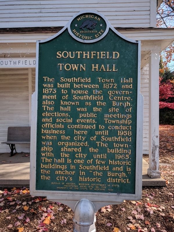
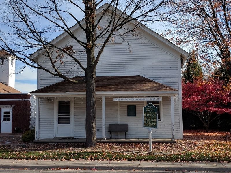
Southfield Town Hall
Erected 1990 by Bureau of History, Michigan Department of State. (Marker Number L1709.)
Topics and series. This historical marker is listed in this topic list: Government & Politics. In addition, it is included in the Michigan Historical Commission series list. A significant historical year for this entry is 1872.
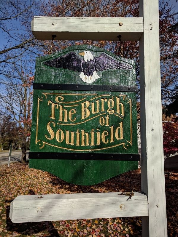
Location. 42° 28.826′ N, 83° 16.76′ W. Marker is in Southfield, Michigan, in Oakland County. Marker is on Berg Road north of Civic Center Drive, on the right when traveling north. The building and marker are in The Burgh Historical Park. Touch for map. Marker is at or near this postal address: 26080 Berg Road, Southfield MI 48033, United States of America. Touch for directions.
Other nearby markers. At least 8 other markers are within walking distance of this marker. Southfield Township Site (here, next to this marker); Southfield Township Volunteer Fire Department (a few steps from this marker); Southfield Center (within shouting distance of this marker); Southfield Methodist Episcopal Church (within shouting distance of this marker); Historical Marker (approx. ¼ mile away); Southfield Centre (approx. ¼ mile away); Southfield Cemetery (approx. ¼ mile away); Congregation Shaarey Zedek (approx. 0.6 miles away). Touch for a list and map of all markers in Southfield.
Credits. This page was last revised on November 13, 2017. It was originally submitted on November 13, 2017, by Joel Seewald of Madison Heights, Michigan. This page has been viewed 175 times since then and 17 times this year. Photos: 1, 2, 3. submitted on November 13, 2017, by Joel Seewald of Madison Heights, Michigan.


