Near Pioneer in West Carroll Parish, Louisiana — The American South (West South Central)
The Poverty Point Landscape
— Poverty Point World Heritage Site —
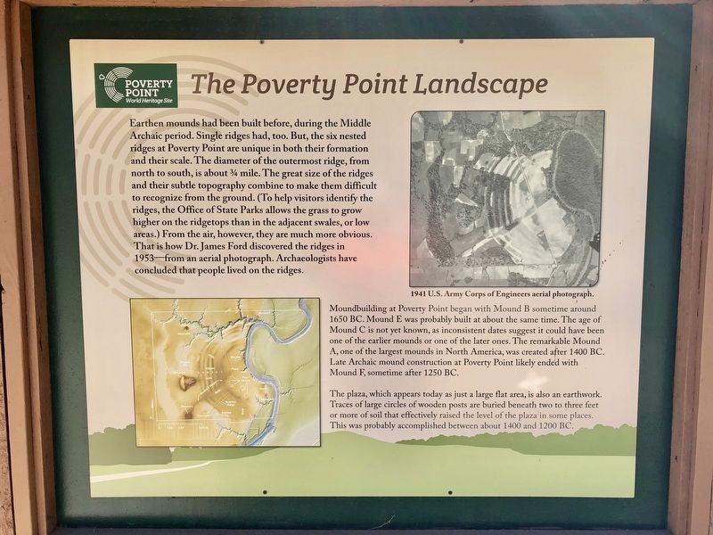
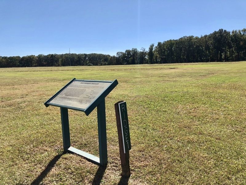
Earthen mounds had been built before, during the Middle Archaic period. Single ridges had, too. But, the six nested ridges at Poverty Point are unique in both their formation and their scale. The diameter of the outermost ridge, from north to south, is about ¾ mile. The great size of the ridges and their subtle topography combine to make them difficult to recognize from the ground. (To help visitors identify the ridges, the Office of State Parks allows the grass to grow higher on the ridgetops than in the adjacent swales, or low areas.) From the air, however, they are much more obvious. That is how Dr. James Ford discovered the ridges in 1953—from an aerial photograph. Archaeologists have concluded that people lived on the ridges.
Moundbuilding at Poverty Point began with Mound B sometime around 1650 BC. Mound E was probably built at about the same time. The age of Mound C is not yet known, as inconsistent dates suggest it could have been one of the earlier mounds or one of the later ones. The remarkable Mound A, one of the largest mounds in North America, was created after 1400 BC. Late Archaic mound construction at Poverty Point likely ended with Mound F, sometime after 1250 BC.
The plaza, which appears today as just a large flat area, is also an earthwork. Traces of large circles of wooden posts are buried beneath two to three feet or more of soil that effectively raised the level of the plaza in some places This was probably accomplished between about 1400 and 1200 BC.
Erected by the State of Louisiana.
Topics. This historical marker is listed in these topic lists: Anthropology & Archaeology • Native Americans. A significant historical year for this entry is 1650.
Location. 32° 38.152′ N, 91° 24.215′ W. Marker is near Pioneer, Louisiana, in West Carroll Parish. Marker can be reached from Louisiana Route 577, 1.2 miles north of Louisiana Route 134. Located near the Poverty Point Heritage Site Museum. Touch for map. Marker is at or near this postal address: 6859 Hwy 577, Pioneer LA 71266, United States of America. Touch for directions.
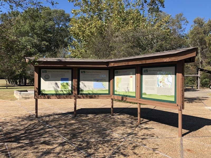
Other nearby markers. At least 8 other markers are within walking distance of this marker. This is Poverty Point (here, next to this marker); Before Poverty Point (here, next to this marker); The Natural and Cultural Environment (here, next to this marker); Poverty Point Artifacts (here, next to this marker); Peopling of the Americas (here, next to this marker); Poverty Point World Heritage Site (here, next to this marker); After Poverty Point (here, next to this marker); Poverty Point Earthworks (a few steps from this marker). Touch for a list and map of all markers in Pioneer.
Credits. This page was last revised on September 23, 2020. It was originally submitted on November 13, 2017, by Mark Hilton of Montgomery, Alabama. This page has been viewed 222 times since then and 11 times this year. Photos: 1, 2, 3, 4. submitted on November 13, 2017, by Mark Hilton of Montgomery, Alabama.


