Near Pioneer in West Carroll Parish, Louisiana — The American South (West South Central)
The Natural and Cultural Environment
— Poverty Point World Heritage Site —
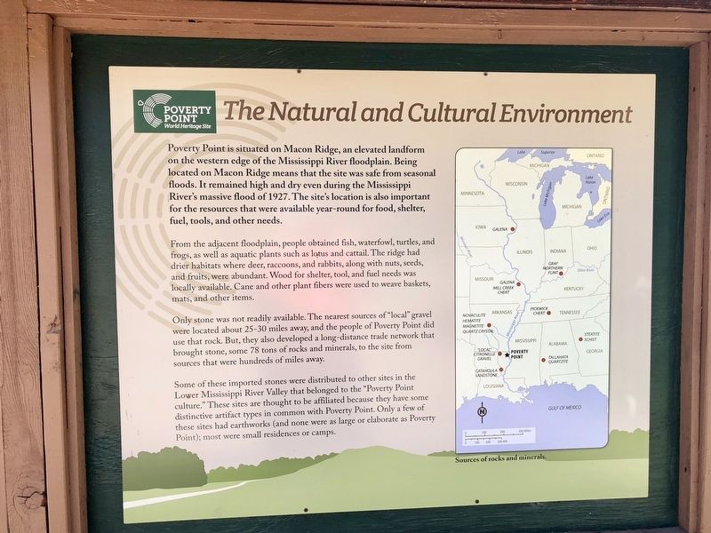
From the adjacent floodplain, people obtained fish, waterfowl, turtles, and frogs, as well as aquatic plants such as lotus and cattail. The ridge had drier habitats where deer, raccoons, and rabbits, along with nuts, seeds, and fruits, were abundant. Wood for shelter, tool, and fuel needs was locally available. Cane and other plant fibers were used to weave baskets, mats, and other items.
Only stone was not readily available. The nearest sources of "local" gravel were located about 25-30 miles away, and the people of Poverty Point did use that rock. But, they also developed a long-distance trade network that brought stone, some 78 tons of rocks and minerals, to the site from sources that were hundreds of miles away.
Some of these imported stones were distributed to other sites in the Lower Mississippi River Valley that belonged to the "Poverty Poirt culture." These sites are thought to be affiliated because they have some distinctive artifact types in common with Poverty Point. Only a few of these sites had earthworks (and none were as large or elaborate as Poverty Point); most were small residences or camps.
Erected by the State of Louisiana.
Topics. This historical marker is listed in these topic lists: Natural Features • Waterways & Vessels. A significant historical year for this entry is 1927.
Location. 32° 38.152′ N, 91° 24.217′ W. Marker is near Pioneer, Louisiana, in West Carroll Parish. Marker is on Louisiana Route 577, 1.2 miles north of Highway 134. Located near the Poverty Point Heritage Site Museum. Touch for map. Marker is at or near this postal address: 6859 Hwy 577, Pioneer LA 71266, United States of America. Touch for directions.
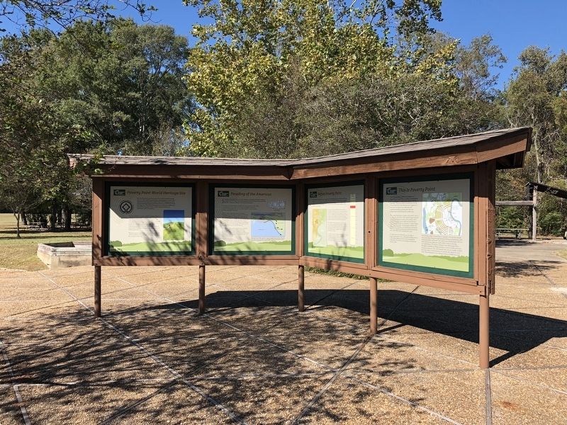
Other nearby markers. At least 8 other markers are within walking distance of this marker. Before Poverty Point (here, next to this marker); Poverty Point Artifacts (here, next to this marker); This is Poverty Point (here, next to this marker); The Poverty Point Landscape (here, next to this marker); Peopling of the Americas (here, next to this marker); Poverty Point World Heritage Site (here, next to this marker); After Poverty Point (here, next to this marker); Poverty Point Earthworks (a few steps from this marker). Touch for a list and map of all markers in Pioneer.
Also see . . .
Wikipedia article on Poverty Point. (Submitted on November 13, 2017, by Mark Hilton of Montgomery, Alabama.)
Credits. This page was last revised on November 13, 2017. It was originally submitted on November 13, 2017, by Mark Hilton of Montgomery, Alabama. This page has been viewed 212 times since then and 14 times this year. Photos: 1, 2, 3. submitted on November 13, 2017, by Mark Hilton of Montgomery, Alabama.


