Near Pioneer in West Carroll Parish, Louisiana — The American South (West South Central)
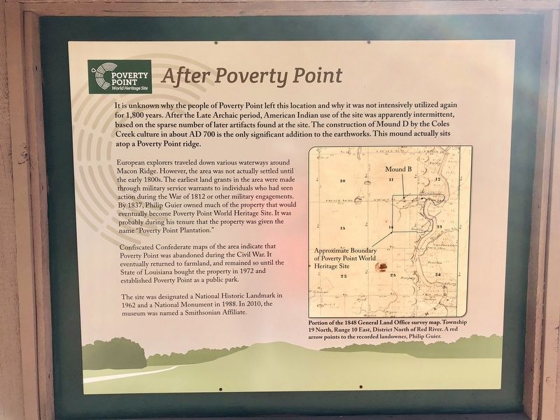
After Poverty Point
— Poverty Point World Heritage Site —
European explorers traveled down various waterways around Macon Ridge. However, the area was not actually settled until the early 1800s. The earliest land grants in the area were made through military service warrants to individuals who had seen action during the War of 1812 or other military engagements. By 1837, Philip Guier owned much of the property that would eventually become Poverty Point World Heritage Site. It was probably during his tenure that the property was given the name "Poverty Point Plantation."
Confiscated Confederate maps of the area indicate that Poverty Point was abandoned during the Civil War. It eventually returned to farmland, and remained so until the State of Louisiana bought the property in 1972 and established Poverty Point as a public park.
The site was designated a National Historic Landmark in 1962 and a National Monument in 1988. In 2010, the museum was named a Smithsonian Affiliate.
[Map caption]: Portion of the 1848 General Land Office survey map. Township 19 North, Range 10 East, District North of Red River. A red arrow points to the recorded landowner, Philip Guier.
Erected by the State of Louisiana.
Topics. This historical marker is listed in these topic lists: Native Americans • Settlements & Settlers • War of 1812 • War, US Civil. A significant historical year for this entry is 1812.
Location. 32° 38.152′ N, 91° 24.219′ W. Marker is near Pioneer, Louisiana, in West Carroll Parish. Marker can be reached from Louisiana Route 577, 1.2 miles north of Louisiana Route 134. Located near the Poverty Point Heritage Site Museum. Touch for map. Marker is at or near this postal address: 6859 Hwy 577, Pioneer LA 71266, United States of America. Touch for directions.
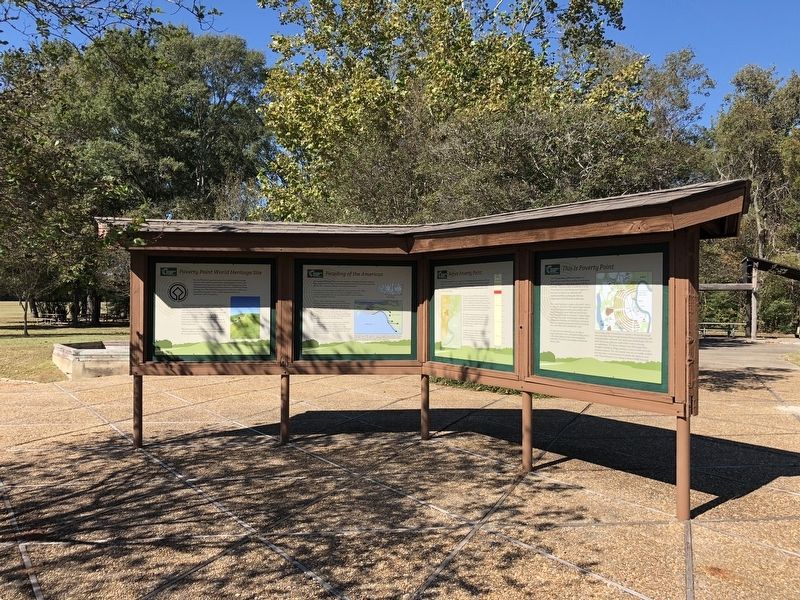
Other nearby markers. At least 8 other markers are within walking distance of this marker. Peopling of the Americas (here, next to this marker); Poverty Point World Heritage Site (here, next to this marker); Poverty Point Artifacts (here, next to this marker); Before Poverty Point (here, next to this marker); The Natural and Cultural Environment (here, next to this marker); This is Poverty Point (here,
next to this marker); The Poverty Point Landscape (here, next to this marker); Poverty Point Earthworks (a few steps from this marker). Touch for a list and map of all markers in Pioneer.
Also see . . . Wikipedia article on Poverty Point. (Submitted on November 13, 2017, by Mark Hilton of Montgomery, Alabama.)
Credits. This page was last revised on November 13, 2017. It was originally submitted on November 13, 2017, by Mark Hilton of Montgomery, Alabama. This page has been viewed 442 times since then and 33 times this year. Photos: 1, 2, 3. submitted on November 13, 2017, by Mark Hilton of Montgomery, Alabama.


