Near Stanley in Custer County, Idaho — The American West (Mountains)
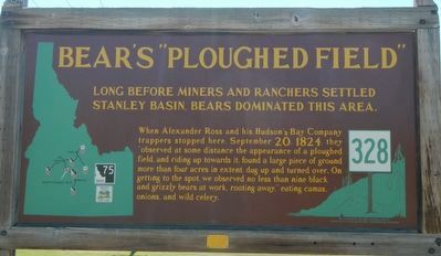
Bear’s "Ploughed Field"
Long before miners and ranchers settled Stanley Basin, bears dominated this area.
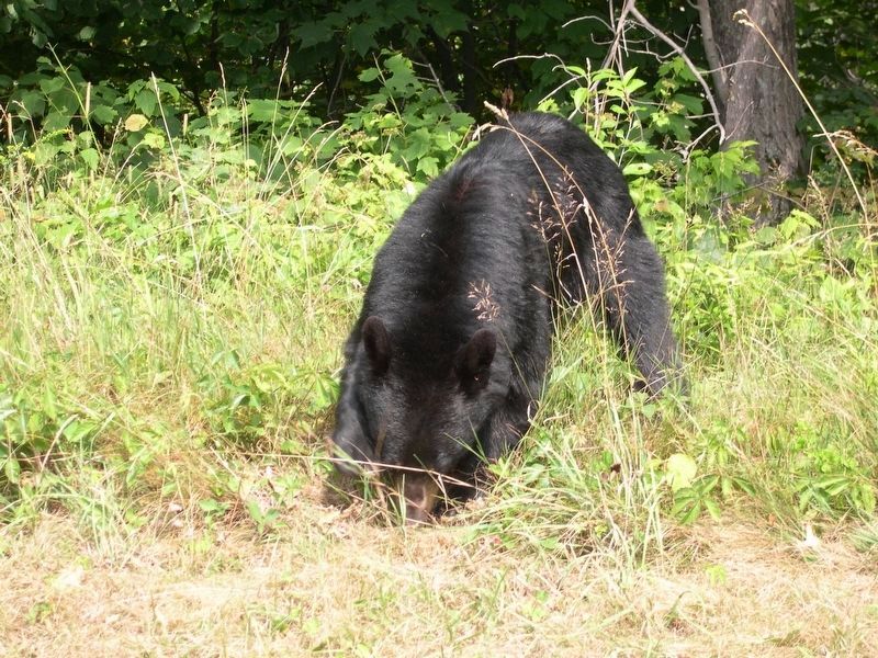
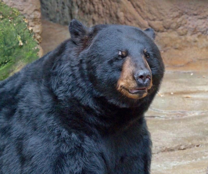
When Alexander Ross and his Hudson’s Bay Company trappers stopped here, September 20, 1824, they “observed at some distance the appearance of a ploughed field, and riding up towards it, found a large piece of ground more than four acres in extent, dug up and turned over. On getting to the spot, we observed no less than nine black and grizzly bears at work, rooting away,” eating camas onions, and wild cherry.
Erected by Idaho Department of Transportation. (Marker Number 328.)
Topics and series. This historical marker is listed in these topic lists: Animals • Exploration. In addition, it is included in the Idaho State Historical Society series list. A significant historical date for this entry is September 20, 1824.
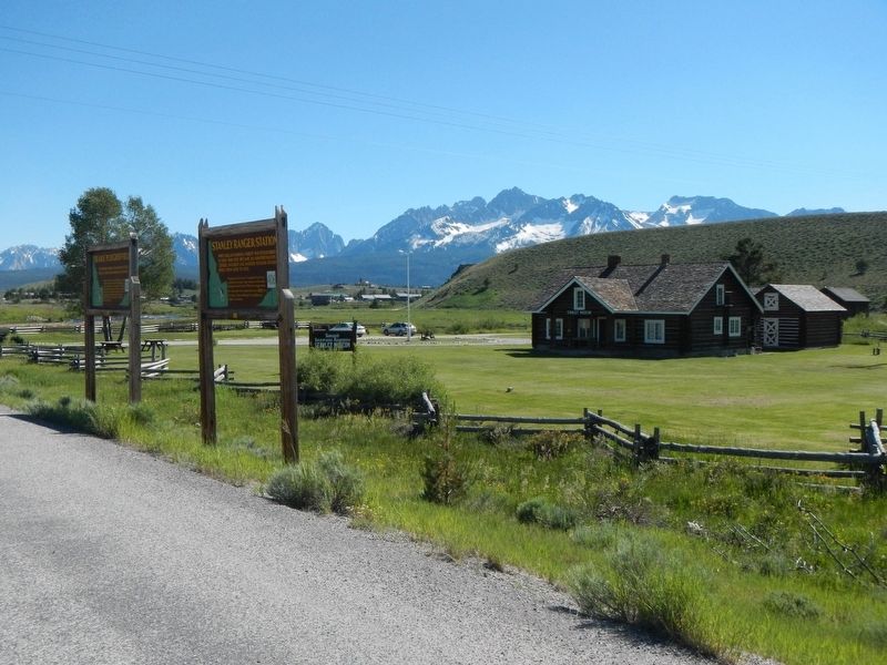
Location. 44° 13.566′ N, 114° 55.761′ W. Marker is near Stanley, Idaho, in Custer County. Marker is at the intersection of State Highway 75 at milepost 190 and Sawtooth Terra Tracts Road, on the right when traveling south on State Highway 75. Touch for map. Marker is in this post office area: Stanley ID 83278, United States of America. Touch for directions.
Other nearby markers. At least 8 other markers are within 15 miles of this marker, measured as the crow flies. Stanley Ranger Station (here, next to this marker); The Boiling Fountain (approx. 9.4 miles away); Of Cabins and Chicken Ranches (approx. 9.4 miles away); Sunbeam Bathhouse (approx. 9.4 miles away); Sunbeam Dam (approx. 10.1 miles away); River Recreation (approx. 10.1 miles away); In the Early Days (approx. 10.1 miles away); Bonanza City (approx. 14.2 miles away). Touch for a list and map of all markers in Stanley.
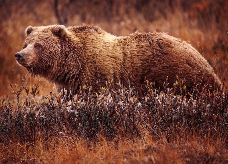
By Jean Beaufort via Wikimedia Commons. Undated.
5. Grizzly Bear (Ursus arctos horribilis)
"Grizzly bear digging:Effects on subalpine meadow plants in relation to mineral nitrogen availability"
1998 paper by Sandra E. Tardiff and Jack A. Stanford
Click for more information.
1998 paper by Sandra E. Tardiff and Jack A. Stanford
Click for more information.
Credits. This page was last revised on November 16, 2021. It was originally submitted on November 14, 2017, by Barry Swackhamer of Brentwood, California. This page has been viewed 508 times since then and 18 times this year. It was the Marker of the Week September 19, 2021. Photos: 1, 2. submitted on November 14, 2017, by Barry Swackhamer of Brentwood, California. 3, 4, 5. submitted on September 18, 2021, by J. J. Prats of Powell, Ohio.
