Gold Run in Placer County, California — The American West (Pacific Coastal)
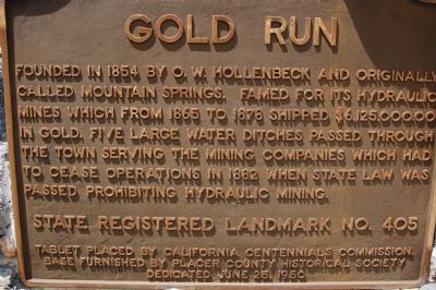
Gold Run
State Registered Landmark No. 405
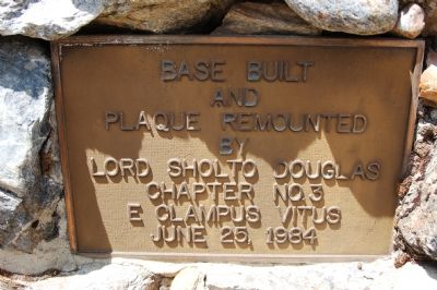
Tablet placed by California Centennials Commission. Base furnished by Placer County Historical Society. Dedicated June 25, 1950
Erected 1950 by California Centennials Commission. (Marker Number 405.)
Topics and series. This historical marker is listed in these topic lists: Industry & Commerce • Settlements & Settlers. In addition, it is included in the California Historical Landmarks series list. A significant historical date for this entry is June 25, 1975.
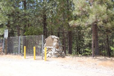
Location. 39° 10.466′ N, 120° 51.463′ W. Marker is in Gold Run, California, in Placer County. Marker is on Magra Road south of the Interstate-80, on the right when traveling west. Touch for map. Marker is in this post office area: Gold Run CA 95717, United States of America. Touch for directions.
Other nearby markers. At least 10 other markers are within 8 miles of this marker, measured as the crow flies. Chinese Railroad Workers (approx. half a mile away); Hydraulic Mining (approx. half a mile away); Adobe Store Building (approx. 2.3 miles away); Dutch Flat (approx. 2˝ miles away); The Stevens Trail (approx. 4.6 miles away); Cape Horn Promontory (approx. 4.7 miles away); Iowa Hill (approx. 4.7 miles away); Truckee Trail - Forks Right & Left (approx. 6.1 miles away); Old Bear River Bridge (approx. 6.2 miles away); Colfax Freight Depot (approx. 7.2 miles away).
Credits. This page was last revised on September 18, 2020. It was originally submitted on June 7, 2007, by Karen Key of Sacramento, California. This page has been viewed 2,072 times since then and 25 times this year. Photos: 1, 2, 3. submitted on June 7, 2007, by Karen Key of Sacramento, California. • J. J. Prats was the editor who published this page.


