Near Murphy in Owyhee County, Idaho — The American West (Mountains)
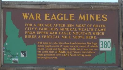
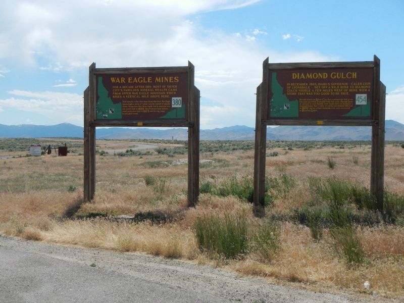
War Eagle Mines
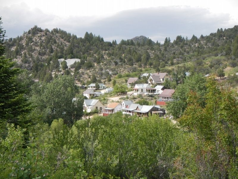
With lodes far richer than those found elsewhere, War Eagle miners fought a series of violent wars for control of valuable claims. Troops from Fort Boise finally had to intervene in one-armed clash in 1868. San Francisco bank failures ended production there in 1875 and thriving camps became ghost towns.
Erected by Idaho Department of Transportation. (Marker Number 380.)
Topics and series. This historical marker is listed in these topic lists: Industry & Commerce • Natural Resources. In addition, it is included in the Idaho State Historical Society series list.
Location. 43° 9.518′ N, 116° 30.536′ W. Marker is near Murphy, Idaho, in Owyhee County. Marker is at the intersection of Marsing Murphy Road (State Highway 78 at milepost 34) and Silver City Road, on the left when traveling west on Marsing Murphy Road. Touch for map. Marker is in this post office area: Murphy ID 83650, United States of America. Touch for directions.
Other nearby markers. At least 6 other markers are within 14 miles of this marker, measured as the crow flies. Diamond Gulch (a few steps from this marker); The Murphy School House District 14 (approx. 4˝ miles away); a different marker also named The Murphy School House District 14 (approx. 4˝ miles away); The Otter Massacre (approx. 4.6 miles away); Guffey Bridge Snake River Idaho (approx. 9.8 miles away); Steamer "Shoshone" (approx. 13˝ miles away).
Credits. This page was last revised on November 17, 2017. It was originally submitted on November 17, 2017, by Barry Swackhamer of Brentwood, California. This page has been viewed 490 times since then and 36 times this year. Photos: 1, 2, 3. submitted on November 17, 2017, by Barry Swackhamer of Brentwood, California.


