Carriage Shed / Hangar à chariots
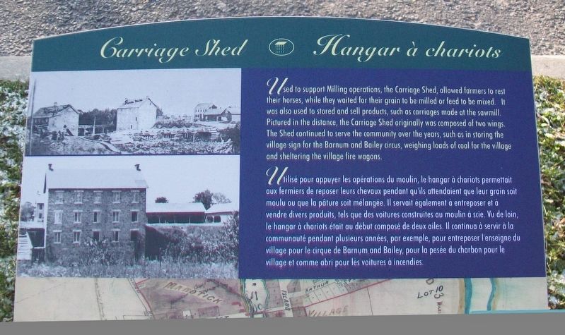
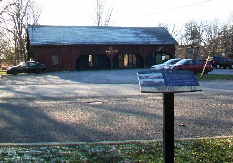
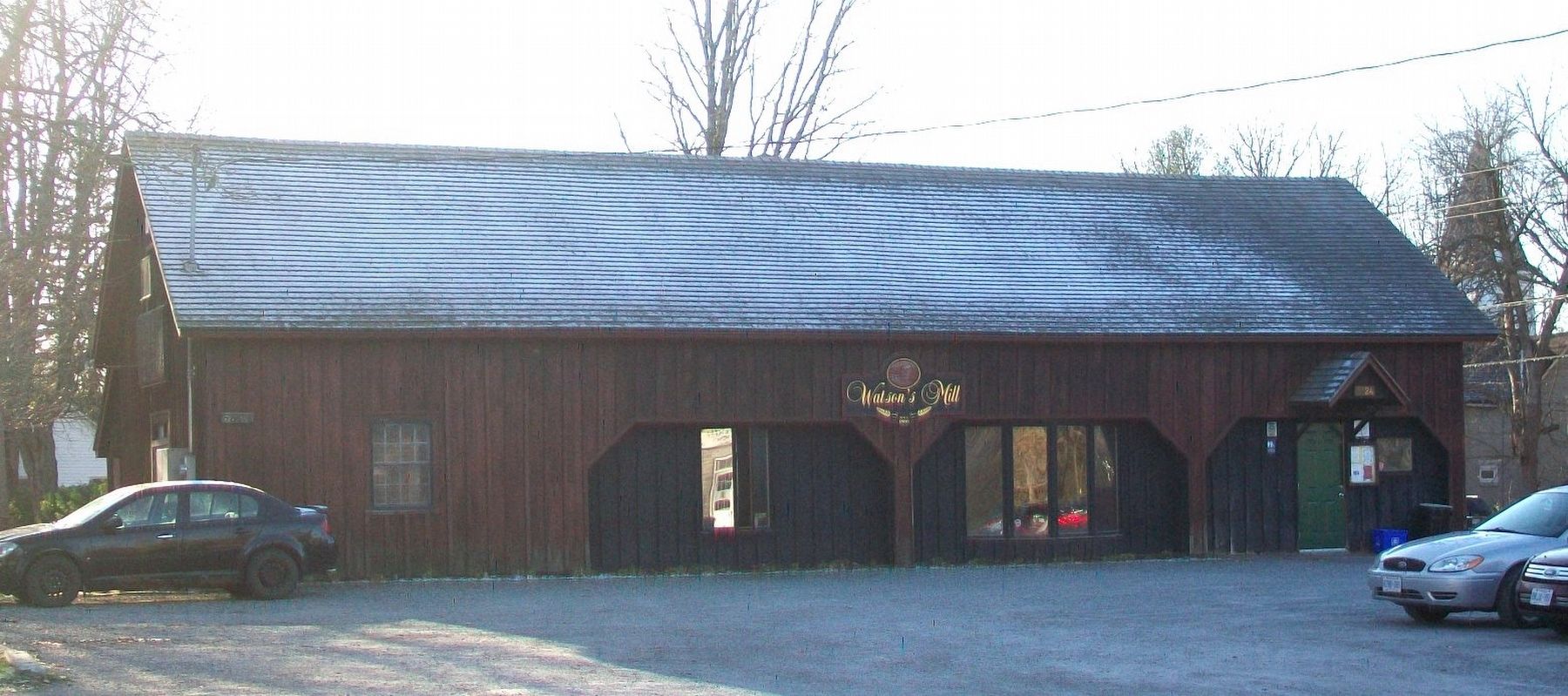
Used to support Milling operations, the Carriage Shed, allowed farmers to rest their horses, while they waited for their grain to be milled or feed to be mixed. It was also used to stored [sic] and sell products, such as carriages made at the sawmill. Pictured in the distance, the Carriage Shed originally was composed of two wings. The Shed continued to serve the community over the years, such as in storing the village sign for the Barnum and Bailey circus, weighing loads of coal for the village and sheltering the village fire wagons.
Erected by Watson's Mill Manotick, Inc. and City of Ottawa.
Topics. This historical marker is listed in these topic lists: Agriculture • Industry & Commerce • Man-Made Features.
Location. 45° 13.623′ N, 75° 40.982′ W. Marker is in Ottawa, Ontario. It is in Manotick. Marker is at the intersection of Dickinson Street and Johnston Clapp Lane, on the left when traveling north on Dickinson Street. Touch for map. Marker is at or near this postal address: 5525 Dickinson Street, Ottawa ON K4M 1A2, Canada. Touch for directions.
Other nearby markers. At least 8 other markers are within walking distance of this marker. The Long Island Mill (here, next to this marker); A Square for All Time / Un place en permanence (a few steps from this marker); The Mill and Manotick / Le moulin et Manotick (within shouting distance of this marker); Dickinson Square and Manotick / La Place Dickinson et Manotick (within shouting distance of this marker); A Safety Valve and Power Source (within shouting distance of this marker); War Memorial Cenotaph (within shouting distance of this marker); Family Life / la vie familiale (within shouting distance of this marker); Manotick Remembrance Park / Parc du Souvenir de Manotick (within shouting distance of this marker). Touch for a list and map of all markers in Ottawa.
Credits. This page was last revised on October 12, 2021. It was originally submitted on November 19, 2017, by William Fischer, Jr. of Scranton, Pennsylvania. This page has been viewed 183 times since then and 15 times this year. Photos: 1, 2, 3. submitted on November 19, 2017, by William Fischer, Jr. of Scranton, Pennsylvania.


