Near Waimea in Hawaii County, Hawaii — Hawaiian Island Archipelago (Pacific Ocean)
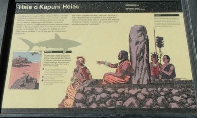
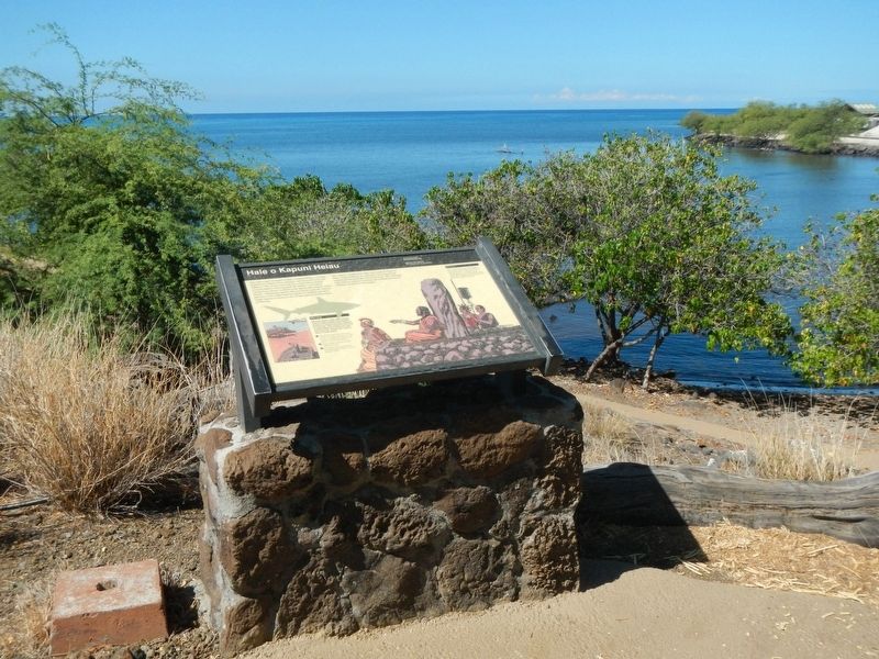
Hale o Kapuni Heiau

Photographed By Barry Swackhamer, August 27, 2017
1. Hale o Kapuni Heiau Marker
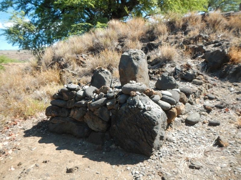
Captions: (bottom left) 🅐 The leaning post broke into three pieces in a 1937 accident. In 1972 it was moved further inland and placed on a new foundation. 🅑 Approximate location of Hale o Kapuni Heiau. 🅒 Peninsula of coral excavated from Kawaihae Harbor, built in the late 1950s.; (top right) Kikiako'i Down the hill below you is Kikiako'i (stone leaning post) that the chief Alapa'i kūpalupalu manō is thought to have leaned against as he watched sharks circle about Hale o Kapuni Heiau before they devoured offerings he had place there.
The extent, construction date, and exact location of Hale o Kapuni Heiau are unknown. It is hoped that underwater archaeology will tell us more. The National Park Service strives to protect all cultural resources, whether on land or submerged.
Erected by U.S. Department of the Interior, National Park Service.
Topics. This historical marker is listed in this topic list: Churches & Religion.
Location. 20° 1.666′ N, 155° 49.37′ W. Marker is near Waimea, Hawaii, in Hawaii County. Marker can be reached from Kawaihae Road near Kawaihae Harbor Road, on the left when traveling north. Touch for map. Marker is at or near this postal address: 62-3601 Kawaihae Road, Kamuela HI 96743, United States of America. Touch for directions.
Other nearby markers. At least 8 other markers are within 6 miles of this marker, measured as the crow flies. Pu'ukohola Heiau (here, next to this marker); Pelekane (within shouting distance of this marker); Mailekini Heiau (within shouting distance of this marker); Pu'ukohlā Heiau (about 300 feet away, measured in a direct line); Pu'ukoholā Heiau (about 400 feet away); Pu'ukohola Heiau National Historic Site (approx. 0.2 miles away); Camp Henry C. Drewes (approx. 2˝ miles away); Puakō Petroglyph Archaeological District (approx. 5.6 miles away). Touch for a list and map of all markers in Waimea.
Regarding Hale o Kapuni Heiau. This marker is located on the trail at Pu'ukeholā Heiau National Historic Site.
Credits. This page was last revised on November 21, 2017. It was originally submitted on November 21, 2017, by Barry Swackhamer of Brentwood, California. This page has been viewed 537 times since then and 62 times this year. Photos: 1, 2, 3. submitted on November 21, 2017, by Barry Swackhamer of Brentwood, California.

