Wilson in Lynn County, Texas — The American South (West South Central)
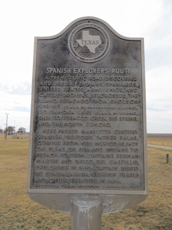
Spanish Explorers' Route
Here passed many 17th century Spanish visitors: Father Salas, coming from New Mexico in 1629 on pleas of Jumano Indians to preach to them; Captains Hernan Martin and Diego del Castillo, exploring in 1650; Captain Diego de Guadalajara, seeking pearls and other treasure, in 1654.
Erected 1967 by State Historical Survey Committee. (Marker Number 4999.)
Topics. This historical marker is listed in these topic lists: Exploration • Roads & Vehicles. A significant historical year for this entry is 1629.
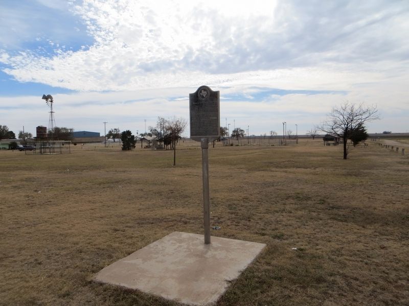
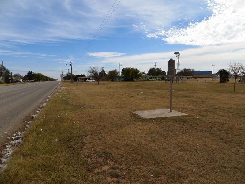
Location. 33° 19.297′ N, 101° 43.827′ W. Marker is in Wilson, Texas, in Lynn County. Marker is at the intersection of Green Avenue and 17th Street, on the right when traveling east on Green Avenue. Marker is on the southeast corner. Touch for map. Marker is in this post office area: Wilson TX 79381, United States of America. Touch for directions.
Other nearby markers. At least 8 other markers are within 10 miles of this marker, measured as the crow flies. Site of Mackenzie Cavalry Camp (within shouting distance of this marker); Wilson Mercantile Company (approx. half a mile away); Green Memorial Park Cemetery (approx. 1.4 miles away); Lynn County (approx. 8.1 miles away); Mercy Hospital (approx. 8.9 miles away); Slaton Bakery (approx. 9.4 miles away); Slaton Volunteer Fire Department (approx. 9.4 miles away); Slaton (approx. 9˝ miles away). Touch for a list and map of all markers in Wilson.
Credits. This page was last revised on November 24, 2017. It was originally submitted on November 24, 2017, by Bill Kirchner of Tucson, Arizona. This page has been viewed 258 times since then and 15 times this year. Photos: 1, 2, 3. submitted on November 24, 2017, by Bill Kirchner of Tucson, Arizona.


