Near Sevierville in Sevier County, Tennessee — The American South (East South Central)
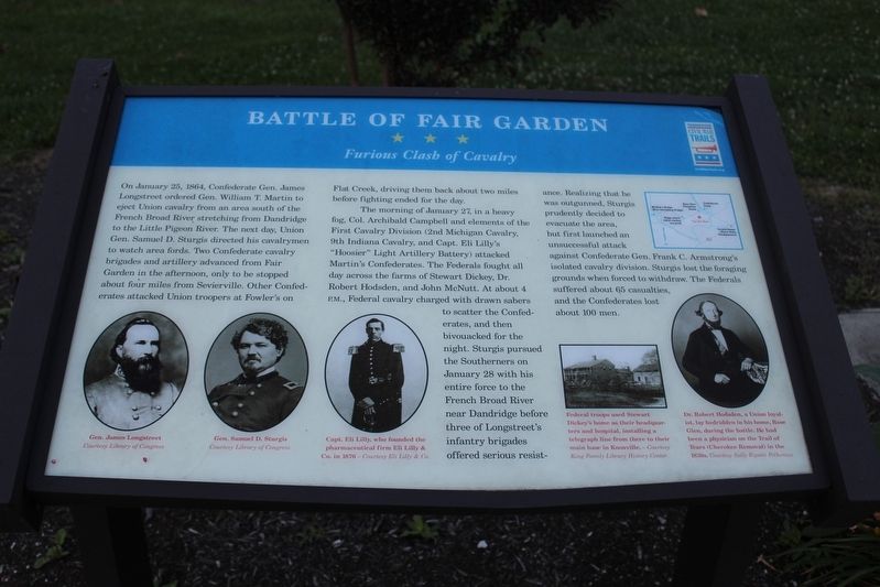
Battle of Fair Garden
Furious Clash of Cavalry
The morning of January 27, in a heavy fog, Col. Archibald Campbell and elements of the First Cavalry Division (2nd Michigan Cavalry, 9th Indiana Cavalry, and Capt. Eli Lilly's "Hoosier" Light Artillery Battery) attacked Martin's Crossroads. The Federals fought all day across the farms of Stewart Dickey, Dr. Robert Hodsden, and John McNutt. At about 4 p.m., Federal cavalry charged with drawn sabers to scatter the Confederates, and then bivouacked for the night. Sturgis pursued the Southerners on January 28 with his entire force to the French Broad River near Dandridge before three of Longstreet's infantry brigades offered serious resistance. Realizing that he was outgunned, Sturgis prudently decided to evacuate the area, but first launched an unsuccessful attack against Confederate Gen. Frank C. Armstrong's isolated cavalry division. Sturgis lost the foraging grounds when forced to withdraw. The Federals suffered about 65 casualties, and the Confederates lost about 100 men.
(captions)
Gen. James Longstreet Courtesy Library of Congress
Gen. Samuel D. Sturgis Courtesy Library of Congress
Capt. Eli Lilly, who founded the pharmaceutical firm Eli Lilly & Co. in 1876 - Courtesy Eli Lilly & Co.
Federal troops used Stewart Dickey's home as their headquarters and hospital, installing a telegraph line from there to their main base in Knoxville. - Courtesy King Family Library History Center
Dr. Robert Hodsden, a Union loyalist, lay bedridden in his home, rose Glen, during the battle. He had been a physician on the Trail of Tears (Cherokee Removal) in the 1830s. Courtesy Sally Ripatti Polhemus
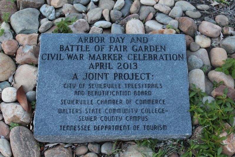
Erected 2013 by Tennessee Civil War Trails.
Topics and series. This historical marker is listed in this topic list: War, US Civil. In addition, it is included in the Tennessee Civil War Trails series list. A significant historical date for this entry is January 25, 1864.
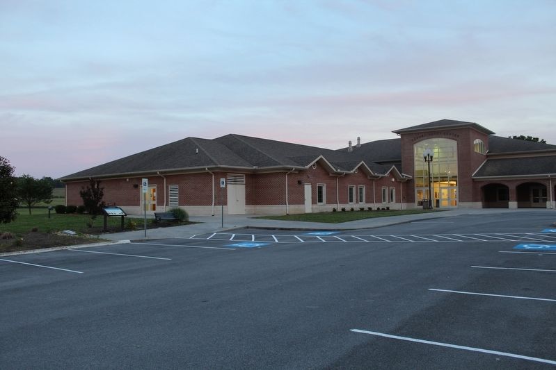
Location. 35° 51.699′ N, 83° 29.895′ W. Marker is near Sevierville, Tennessee, in Sevier County. Marker can be reached from Jim Hickman Drive north of Old Newport Highway, on the left when traveling west. Marker is located outside the Connor-Short Center on the Walters State Community College - Sevier Campus. Touch for map. Marker is at or near this postal address: 1720 Old Newport Hwy, Sevierville TN 37876, United States of America. Touch for directions.
Other nearby markers. At least 8 other markers are within 4 miles of this marker, measured as the crow flies. Sweden Furnace (approx. 0.6 miles away); Harrisburg Covered Bridge (approx. 0.9 miles away); a different marker also named Harrisburg Covered Bridge (approx. 0.9 miles away); a different marker also named Harrisburg Covered Bridge (approx. 0.9 miles away); New Salem Baptist Church (approx. 3.1 miles away); a different marker also named New Salem Baptist Church (approx. 3.1 miles away); Middle Creek United Methodist Church & Settlement (approx. 3.6 miles away); Forks of Little Pigeon Church (approx. 3.6 miles away). Touch for a list and map of all markers in Sevierville.
Credits. This page was last revised on September 24, 2020. It was originally submitted on November 24, 2017, by Tom Bosse of Jefferson City, Tennessee. This page has been viewed 1,331 times since then and 122 times this year. Photos: 1, 2, 3. submitted on November 24, 2017, by Tom Bosse of Jefferson City, Tennessee. • Bernard Fisher was the editor who published this page.


