Near Post in Garza County, Texas — The American South (West South Central)
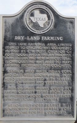
Dry-Land Farming
Cotton, milo maize, Indian corn, and oats were grown here. Post also experimented with several types of fruits and vegetables.
Men of small means could buy farms on easy terms from Post. He provided good houses, fences, windmills, and electricity.
Also built Post Textile Mill to provide supplemental work and income for the colonists.
Erected 1967 by State Historical Survey Committee. (Marker Number 1289.)
Topics. This historical marker is listed in this topic list: Agriculture. A significant historical year for this entry is 1907.
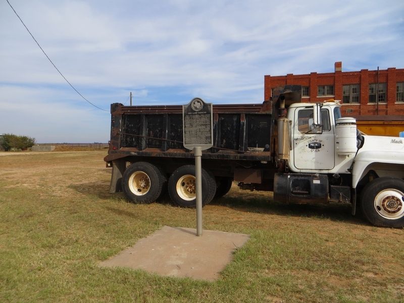
Location. 33° 12.678′ N, 101° 29.211′ W. Marker is near Post, Texas, in Garza County. Marker is on County Highway 399 north of County Highway 230, on the right when traveling north. Touch for map. Marker is in this post office area: Post TX 79356, United States of America. Touch for directions.
Other nearby markers. At least 8 other markers are within 6 miles of this marker, measured as the crow flies. Twin Chimneys (approx. 3.7 miles away); C. W. Post Rain Battles (approx. 3.7 miles away); Site of Graham School (approx. 4.3 miles away); Graham Chapel Methodist Church (approx. 4.3 miles away); Kate McCommis (approx. 5.3 miles away); Pioneer's Well (approx. 5.3 miles away); Llano Ranch (approx. 5.3 miles away); C. W. Post Home (approx. 6 miles away). Touch for a list and map of all markers in Post.
Credits. This page was last revised on November 25, 2017. It was originally submitted on November 25, 2017, by Bill Kirchner of Tucson, Arizona. This page has been viewed 300 times since then and 13 times this year. Photos: 1, 2, 3. submitted on November 25, 2017, by Bill Kirchner of Tucson, Arizona.


