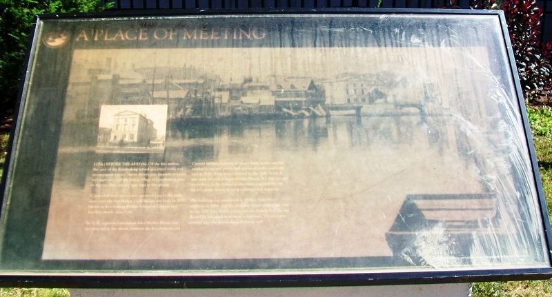
A Place of Meeting
Long before the arrival of the first settlers, this area of the Kenduskeag served as a travel route and encampment site for Native Americans, hunters, trappers and explorers, and the young village of Condeskeag grew in the late 18th century here next to the stream.
A makeshift ferry service was operated here in the early days, until the first bridge, a toll bridge, was built in 1807, known as Kenduskeag Bridge; bridges at Central and Franklin streets came later.
In 1836, a granite foundation for a Market House was constructed in the stream between the Kenduskeag and Central bridges; however, it wasn't built, until a smaller market house and public hall appeared at the southerly end in 1843. After being claimed by the 1846 flood, it was replaced with a larger Market House, but that too was short-lived, as the federal government acquired the site for a Custom House to serve international shipping.
The building was completed in 1855, a Post Office addition in 1866, and the structure stood until it was lost in the 1911 Fire, which convinced city fathers that the site should be left open to serve as a fire break. The property evolved into the Kenduskeag Parkway mall.
Topics and series. This historical marker is listed in these topic lists: Charity & Public Work •
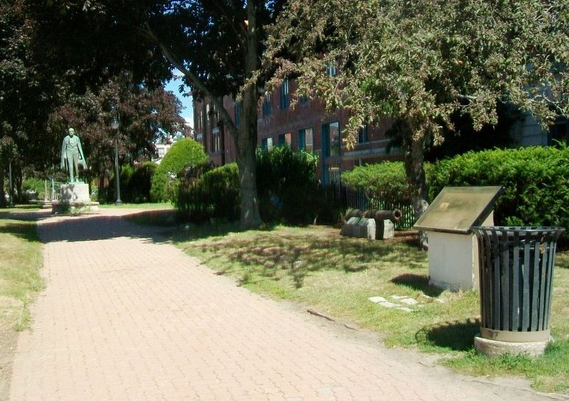
Location. 44° 48.124′ N, 68° 46.221′ W. Marker is in Bangor, Maine, in Penobscot County. Marker is at the intersection of Hammond Street/State Street (U.S. 2) and Kenduskeag Stream, on the left when traveling east on Hammond Street/State Street. Touch for map. Marker is at or near this postal address: Kenduskeag Stream Park, Bangor ME 04401, United States of America. Touch for directions.
Other nearby markers. At least 8 other markers are within walking distance of this marker. Samuel de Champlain (here, next to this marker); Saltonstall's Naval Fleet Gun (here, next to this marker); Spanish Bronze Cannon (here, next to this marker); Hannibal Hamlin (within shouting distance of this marker); Hersey Memorial Building (Old Bangor City Hall) Bell (about 400 feet away, measured in a direct line); Norumbega Parkway (about 500 feet away); War Memorial (about 500 feet away); Bangor Victory Platoon (approx. 0.4 miles away). Touch for a list and map of all markers in Bangor.
Also see . . . Kenduskeag Parkway. (Submitted on November 25, 2017, by William Fischer, Jr. of Scranton, Pennsylvania.)
Credits. This page was last revised on October 31, 2020. It was originally submitted on November 25, 2017, by William Fischer, Jr. of Scranton, Pennsylvania. This page has been viewed 348 times since then and 17 times this year. Photos: 1, 2. submitted on November 25, 2017, by William Fischer, Jr. of Scranton, Pennsylvania.

