Wheaton in Silver Spring in Montgomery County, Maryland — The American Northeast (Mid-Atlantic)
Shorefield
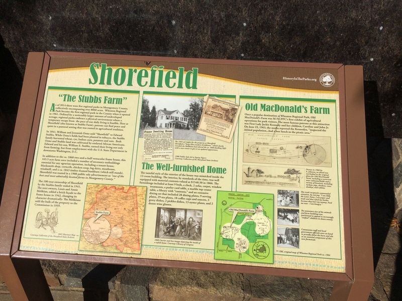
"The Stubbs Farm"
As of 2014 there were five regional parks in Montgomery County, collectively encompassing over 8060 acres. Wheaton Regional Park became the first regional park in the County when it opened in 1961. Defined by a noticeably larger amount of undeveloped acreage, regional parks embrace a physical environment where a temporary escape from the pace of our daily living is feasible. Here at Shorefield (also known as Stubbs Farm), patrons can find peace and quiet in a pastoral setting that was rooted in agricultural tradition.
In 1841, William and Jeremiah Orme sold "Shawfield" to Edward Stubbs. While Orme's fields had been planted in tobacco, the Stubbs family harvested wheat, rye, Indian corn, potatoes and oats. Both Orme and Stubbs land was cultivated by enslaved African Americans. Edward and his son, William E. Stubbs, earned their living not only from farming, but from employment with the U.S. State Department in downtown Washington, D.C.
In addition to the ca. 1860 two-and-a-half vernacular frame house, this 165.5 acre farm once included a number of necessary outbuilding essential for any agrarian operation, including a tenant house, blacksmith shop, corncrib, chicken coop, log dairy, meathouse, windmill, and a ca. 1843 timber-framed bankbarn (which still stands). Shorefield was touted in 1908 public sale advertisements as "one of the best and most admirably located farms in Montgomery County."
The 100-year ownership of Shorefield by the Stubbs family ended in 1941. The next owners, Louis and Annie Melikian, added a brick façade to the frame house in 1942, changing its character dramatically. The Melikians sold the bulk of the property to the Commission in 1959.
The Well-furnished Home
The tasteful style of the exterior of the house was mimicked inside the 12-room building. The interior, by standards of the time, was well equipped with material contents valued at $1548.50 in 1866. The furnishings included at least 9 beds, a clock, 2 sofas, carpet, window treatments, a parlor card table, a marble top center table, a library with "contents," and an extensive dining set that included 28 dining plates, 9 serving plates, 29 tea plates, 18 coffee cups and saucers, 3 gravy dishes, 2 pickles dishes, 13 oyster plates, and 2 dozen wine glasses.
Old MacDonald's Farm
Once a popular destination at Wheaton Regional Park, Old MacDonald's Farm was M-NCPPC's first exhibit of agricultural operations for park visitors. The most famous patrons at this attraction was First Lady Jackie Kennedy and her children, Caroline and John Jr. On June 19, 1963, the media reported the Kennedys, "inspected the animal population...had
Erected by Montgomery Parks.
Topics. This historical marker is listed in these topic lists: African Americans • Agriculture • Architecture. A significant historical year for this entry is 1841.
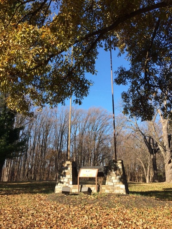
Location. 39° 3.283′ N, 77° 2.597′ W. Marker is in Silver Spring, Maryland, in Montgomery County. It is in Wheaton. Marker can be reached from Shorefield Court north of Shorefield Road, on the left when traveling north. On the grounds of Wheaton Regional Park. Touch for map. Marker is at or near this postal address: 12198 Shorefield Ct, Silver Spring MD 20902, United States of America. Touch for directions.
Other nearby markers. At least 8 other markers are within walking distance of this marker. Regional Parks (about 400 feet away, measured in a direct line); Welcome to Ovid Hazen Wells Carousel at Wheaton Regional Park (approx. 0.2 miles away); Suggestions for Walking the Labyrinth (approx. 0.3 miles away); The Bridge to Understanding (approx. 0.3 miles away); DC Area Sniper Victims Memorial (approx. 0.4 miles away); Gude Garden (approx. 0.4 miles away); Fragrance Garden (approx. 0.4 miles away); Reforestation (approx. half a mile away). Touch for a list and map of all markers in Silver Spring.
Credits. This page was last revised on February 21, 2023. It was originally submitted on November 26, 2017, by Devry Becker Jones of Washington, District of Columbia. This page has been viewed 336 times since then and 37 times this year. Photos: 1, 2. submitted on November 26, 2017, by Devry Becker Jones of Washington, District of Columbia. • Bill Pfingsten was the editor who published this page.

