Plymouth in Jefferson County, Nebraska — The American Midwest (Upper Plains)
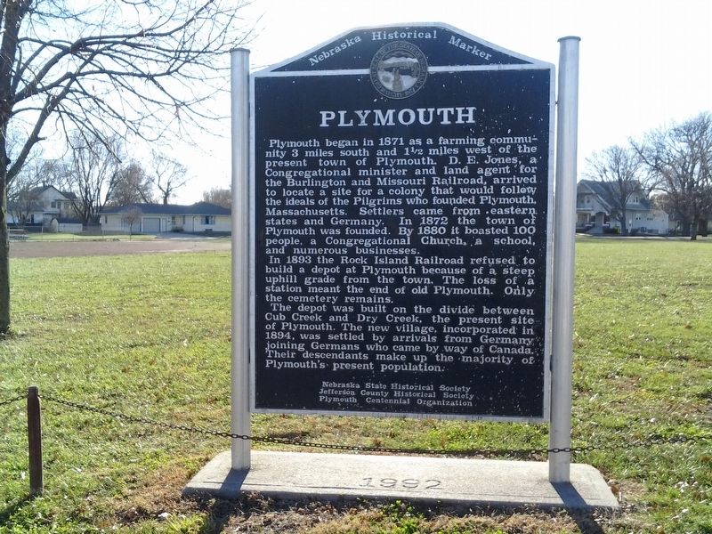
Plymouth
In 1893 the Rock Island Railroad refused to build a depot at Plymouth because of a steep uphill grade from the town. The loss of a station meant the end of old Plymouth. Only the cemetery remains.
The depot was built on the divide between Cub Creek and Dry Creek, the present site of Plymouth. The new village, incorporated in 1894, was settled by arrivals from Germany joining Germans who came by way of Canada. Their descendants make up the majority of Plymouth's present population.
Erected by Nebraska State Historical Society; Jefferson County Historical Society; Plymouth Centennial Organization. (Marker Number 358.)
Topics and series. This memorial is listed in this topic list: Settlements & Settlers. In addition, it is included
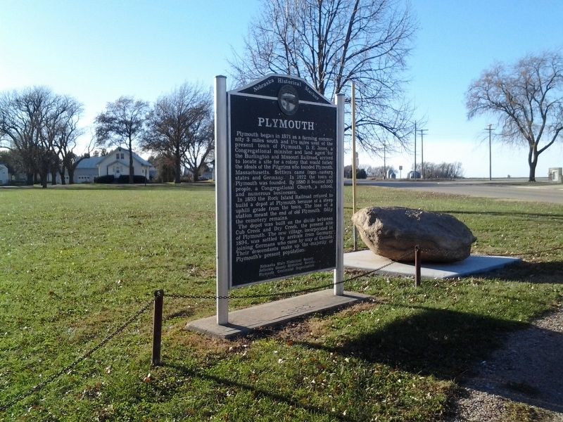
Location. 40° 18.35′ N, 96° 59.45′ W. Marker is in Plymouth, Nebraska, in Jefferson County. Memorial is at the intersection of 723rd Road (State Highway 4), on the right when traveling east on 723rd Road. The marker is located in Memorial Park. Adjacent to the marker is a rock reminiscent of Plymouth Rock. Located east of the marker are a marker commemorating the old school before consolidation, a veteran's marker and a marker honor local sons who died in service to their country. Touch for map. Marker is in this post office area: Plymouth NE 68424, United States of America. Touch for directions.
Other nearby markers. At least 8 other markers are within 9 miles of this marker, measured as the crow flies. Veterans Memorial (here, next to this marker); Swan City (approx. 7.2 miles away); A Legacy of Change (approx. 8.3 miles away); Deep Roots in the Earth (approx. 8.3 miles away); Success Was Only Natural (approx. 8.7 miles away); Roads to Success (approx. 8.7 miles away); Daniel and Agnes Freeman (approx. 8.7 miles away); Boundaries of Freedom (approx. 8.8 miles away).
Additional keywords. school, veteran
Credits. This page was last revised on November 29, 2017. It was originally submitted on November 26, 2017, by Joan Shurtliff of Seward, Nebraska. This page has been viewed 289 times since then and 41 times this year. Photos: 1, 2. submitted on November 26, 2017, by Joan Shurtliff of Seward, Nebraska. • Bill Pfingsten was the editor who published this page.

