Kailua-Kona in Hawaii County, Hawaii — Hawaiian Island Archipelago (Pacific Ocean)
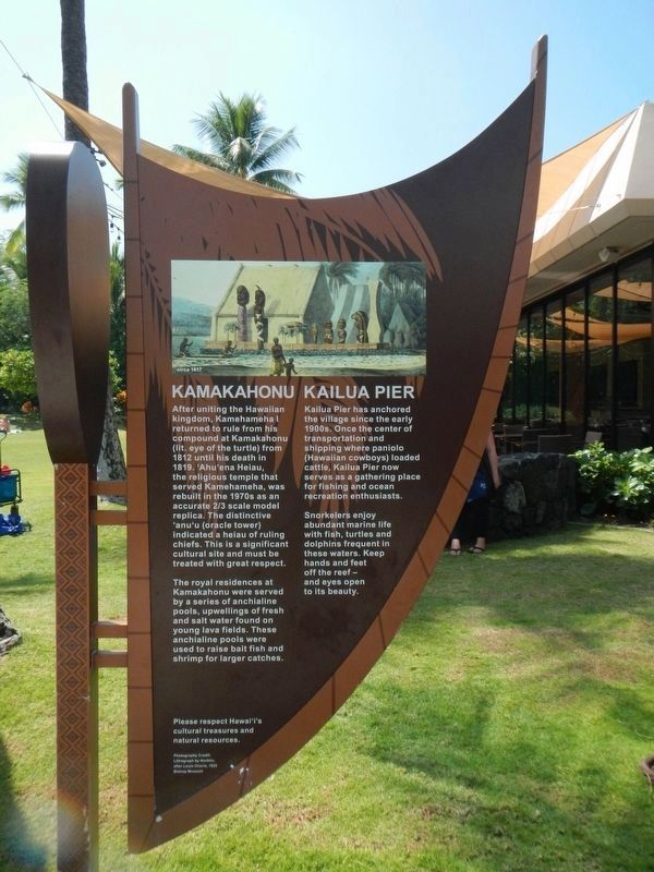
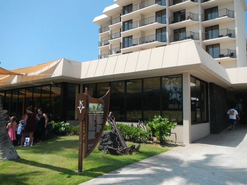
Kamakahonu / Kailua Pier
Inscription.
Kamakahonu
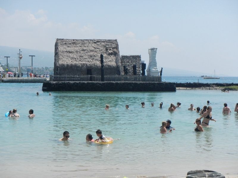
After uniting the Hawaiian kingdom, Kamehameha I returned to rule from his compound at Kamakahonu (lit. eye of the turtle) from 1812 until his death in 1819. 'Ahu'ena Heiau, the religious temple that served Kamehameha was rebuilt in the 1970's as an accurate 2/3 scale model replica. The distinctive 'anu'u (oracle tower) indicated an heiau of ruling chiefs. This is a significant cultural site and must be treated with great respect.
The royal residences at Kamakahonu were served by a series of anchialine pools, upwellings of fresh and salt water found on young lava fields. These anchialine pools were used to raise bait fish and shrimp for larger catches.
Kailua Pier
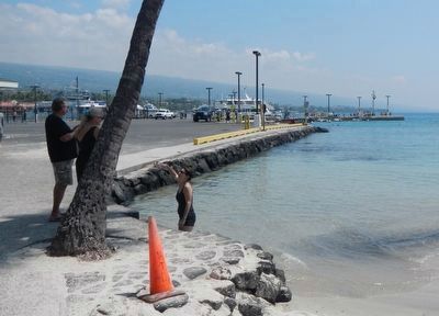
Kailua Pier has anchored the village since the early 1900s. Once the center of transportation and shipping where paniolo (Hawaiian cowboys) loaded cattle, Kailua Pier now serves as a gathering place for fishing and ocean recreation enthusiasts.
Snorkelers enjoy abundant marine life with fish, turtles and dolphins frequent in these waters. Keep hands and feet off the reef - and eyes open to its beauty.
Topics. This historical marker is listed in these topic lists: Churches & Religion • Government & Politics • Settlements & Settlers. A significant historical year for this entry is 1812.
Location. 19° 38.386′ N, 155° 59.868′ W. Marker is in Kailua-Kona, Hawaii, in Hawaii County. Marker is on Kaahumanu Place near Palani Road, on the left when traveling north. Touch for map. Marker is at or near this postal address: 755664 Kaahumanu Place, Kailua Kona HI 96740, United States of America. Touch for directions.
Other nearby markers. At least 8 other markers are within walking distance of this marker. Kamakahonu (within shouting distance of this marker); Ahu'ena Heiau (within shouting distance of this marker); Niumalu Beach / Kailua Bay (approx. 0.2 miles away); Ki'ope Pond (approx. ¼ mile away); The First Hawaiian Christian (approx. ¼ mile away); Hulihe‘e Palace / Moku‘aikaua Church (approx. ¼ mile away); Hulihe‘e Palace (approx. ¼ mile away); Mokuaikaua Church (approx. ¼ mile away). Touch for a list and map of all markers in Kailua-Kona.
Credits. This page was last revised on November 26, 2017. It was originally submitted on November 26, 2017, by Barry Swackhamer of Brentwood, California. This page has been viewed 255 times since then and 24 times this year. Photos: 1, 2, 3, 4. submitted on November 26, 2017, by Barry Swackhamer of Brentwood, California.


