False River
Pointe Coupée Parish Museum
— Atchafalaya Water Heritage Trail —
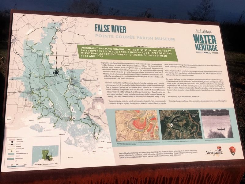
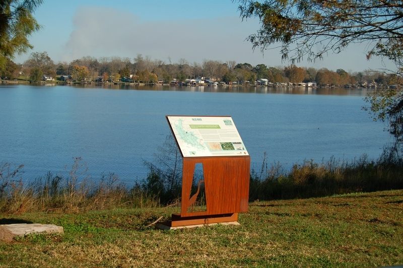
Originally the main channel of the Mississippi River, today False River is an oxbow lake—a horseshoe-shaped bend the Mississippi left behind when it changed course between 1713 and 1722.
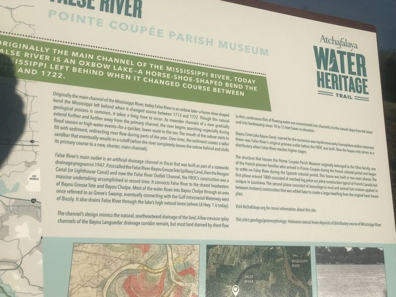
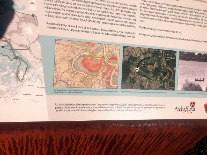
Originally the main channel of the Mississippi River, today False River is an oxbow lake—a horseshoe-shaped bend the Mississippi left behind when it changed course between 1713 and 1722. Though this natural geological process is common, it takes a long time to occur. As meander channels of a river gradually extend further and further away from the primary channel, the river begins searching—especially during flood season or high water events—for a quicker, lower route to the sea. The mouth of the oxbow starts to fill with sediment, redirecting river flow during parts of the year. Over time, the sediment creates a taller sandbar that eventually results in a cutoff (when the river completely leaves the oxbow behind and shifts its primary course to a new, shorter, main channel).
False River’s main outlet is an artificial drainage channel in Oscar that was built as part of a statewide drainage program in 1947. First called the False River-Bayou Grosse Tete Spillway Canal, then the Rougon Canal (or Lighthouse Canal) and now the False River Outfall Channel, the FROC’s construction was a massive undertaking accomplished
in record time. It connects False River to the shared headwaters of Bayou Grosse Tete and Bayou Cholpe. Most of the water flows into Bayou Cholpe through an area once referred to as Greve's Swamp, eventually connecting with the Gulf Intracoastal Waterway west of Brusly. It also drains False River through the lake’s high natural levee (where LA Hwy. 1 is today).The channel’s design mimics the natural, southeastward drainage of the land. A few crevasse splay channels of the Bayou Languedoc drainage corridor remain, but most land drained by sheet flow (a thin, continuous film of flowing water not concentrated into channels) via the natural slope from the levee and into backswamp areas 10 to 15 feet lower in elevation.
Bayou Cirier (aka Bayou Sere)—named for the numerous wax myrtle trees early Francophone settlers observed there—was False River’s original primary outlet before the FROC was built. Now the bayou only serves as a distributary when False River reaches higher stages.
The structure that houses the Pointe Coupée Parish Museum originally belonged to the Olivo family, one of the French pioneer families who arrived in Pointe Coupée during the French colonial period and began to settle on False River during the Spanish colonial period. This house was built in two main phases. The first phase around 1800 consisted of notched-log pièce sur pièce
construction typical of French Canada but unique in Louisiana. The second phase consisted of boussilage (a mud and animal hair mixture applied in between timbers) construction that was added later to create a larger dwelling from the original basic house plan.Visit Atchafalaya.org for more information about this site.
This site’s geology/geomorphology: Holocene natural levee deposits of distributary course of Mississippi River.
Erected by State of Louisiana and National Park Service.
Topics and series. This historical marker is listed in these topic lists: Environment • Natural Features • Waterways & Vessels. In addition, it is included in the Atchafalaya Water Heritage Trail series list.
Location. 30° 38.051′ N, 91° 29.234′ W. Marker is in New Roads, Louisiana, in Pointe Coupee Parish. Marker is on False River Road (State Highway 1) 0.4 miles north of Parlange Lane (State Highway 78), on the right when traveling north. Touch for map. Marker is at or near this postal address: 8348 False River Road, New Roads LA 70760, United States of America. Touch for directions.
Other nearby markers. At least 8 other markers are within 5 miles of this marker, measured as the crow flies. Randall Oak (approx. 2.6 miles away); Julien Poydras (approx. 5 miles away); Major General Delesseps S. "Chep" Morrisson (approx. 5.1 miles
Credits. This page was last revised on December 21, 2023. It was originally submitted on November 27, 2017, by Cajun Scrambler of Assumption, Louisiana. This page has been viewed 786 times since then and 44 times this year. Photos: 1, 2, 3, 4. submitted on November 27, 2017.


