Lowman in Boise County, Idaho — The American West (Mountains)
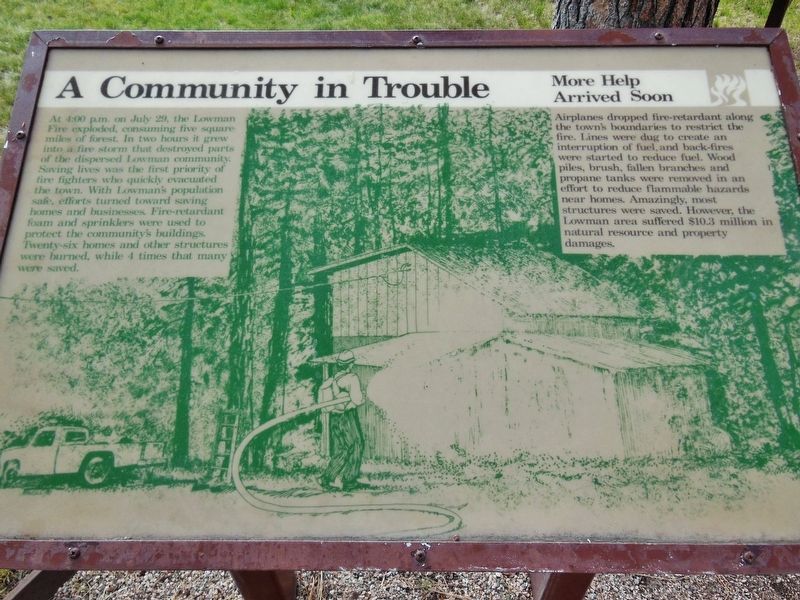
A Community in Trouble
More Help Arrived Soon
At 4:00pm on July 29, the Lowman Fire exploded, consuming five square miles of forest. In two hours it grew into a fire storm that destroyed parts of the dispersed Lowman community. Saving lives was the first priority of fire fighters who quickly evacuated the town. With Lowman’s population safe, efforts turned toward saving homes and businesses. Fire-retardant foam and sprinklers were used to protect the community’s buildings. Twenty-six homes and other structures were burned, while 4 times that many were saved.
More Help Arrived Soon
Airplanes dropped fire-retardant along the town’s boundaries to restrict the fire. Lines were dug to create an interruption of fuel, and back-fires were started to reduce fuel. Wood piles, brush, fallen branches and propane tanks were removed in an effort to reduce flammable hazards near homes. Amazingly, most structures were saved. However, the Lowman area suffered $10.3 million in natural resource and property damages.
Erected by Forest Service, U.S. Department of Agriculture.
Topics. This historical marker is listed in this topic list: Disasters. A significant historical date for this entry is July 29, 1989.
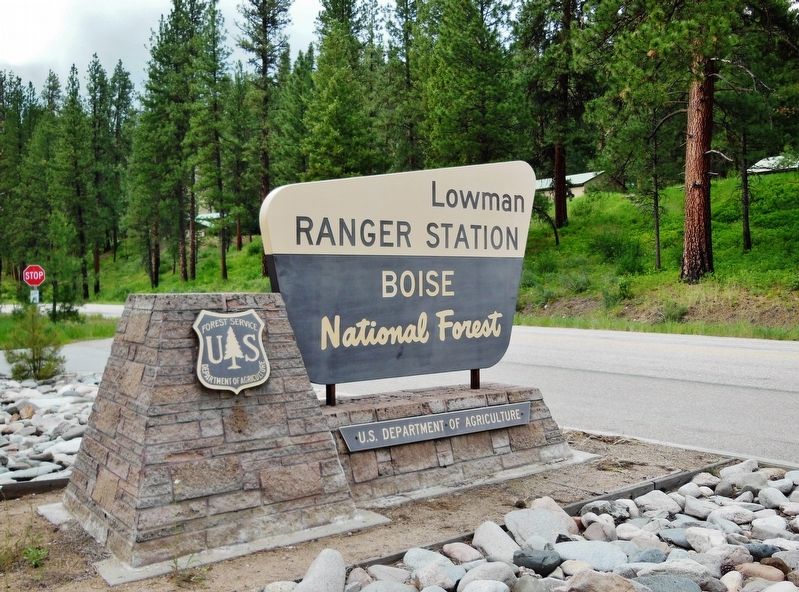
Location. 44° 4.582′ N, 115° 35.868′ W. Marker is in Lowman, Idaho, in Boise County. Marker is at the intersection of Ponderosa Pine Scenic Route (State Highway 21) and County Highway 558, on the right when traveling east on Ponderosa Pine Scenic Route. Marker is located in front of the Lowman Ranger Station & District Office. Touch for map. Marker is in this post office area: Lowman ID 83637, United States of America. Touch for directions.
Other nearby markers. At least 5 other markers are within 10 miles of this marker, measured as the crow flies. Life in a Fire Camp (here, next to this marker); Lowman (approx. ¾ mile away); Emma Edwards (approx. 3.3 miles away); It Happened One Summer (approx. 3.7 miles away); CCC Shapes the Payette Drainage (approx. 9.2 miles away).
More about this marker. This fire occurred in 1989.
Related markers. Click here for a list of markers that are related to this marker.
Also see . . . Hotter and Bigger: The Face of Wildfires in Idaho is Changing.
In Southwest Idaho, most of the landscape has burned in the past 30 years. More than 56 percent of the Boise National Forest has burned since 1985 and 71 percent of the Payette, according to Forest Service numbers compiled by the Idaho Conservation League. (Submitted on November 28, 2017, by Cosmos Mariner of Cape Canaveral, Florida.)
Credits. This page was last revised on December 4, 2017. It was originally submitted on November 28, 2017, by Cosmos Mariner of Cape Canaveral, Florida. This page has been viewed 285 times since then and 15 times this year. Photos: 1, 2, 3. submitted on November 28, 2017, by Cosmos Mariner of Cape Canaveral, Florida. • Bill Pfingsten was the editor who published this page.


