Near Waimea in Hawaii County, Hawaii — Hawaiian Island Archipelago (Pacific Ocean)
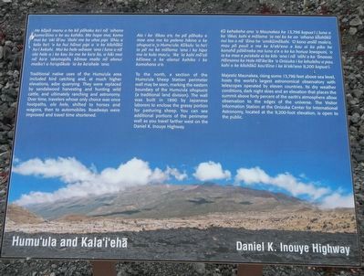
Humu'ula and Kala''i'ehā
Daniel K. Inouye Highway
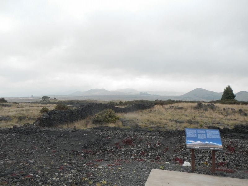
To the north, a section of the Humu'ula Sheep Station perimeter wall may be seen, marking the eastern boundary of the Humu'ula ahupua'a (a traditional land division). The wall was built by Japanese laborers to enclose the grassy portion for pasturing sheep. You can see additional portions of the perimeter wall as you travel father west on the Daniel K. Inouye Highway.
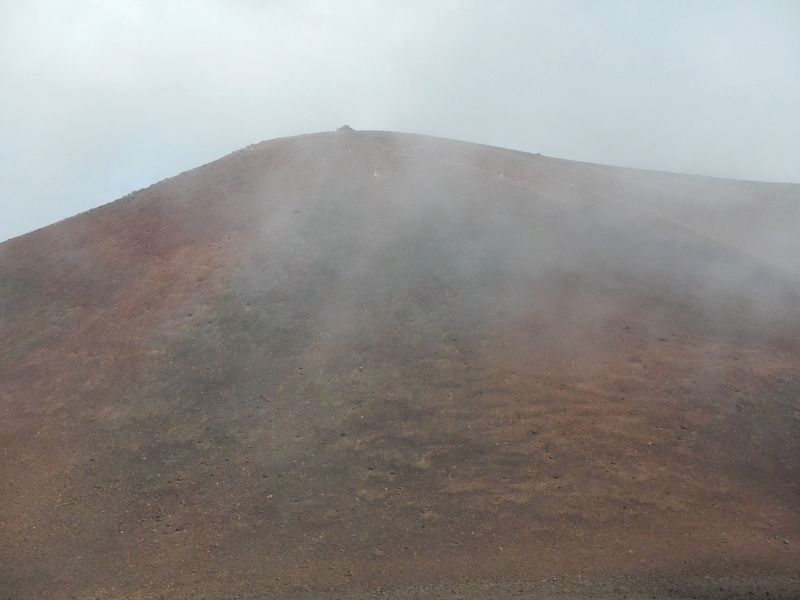
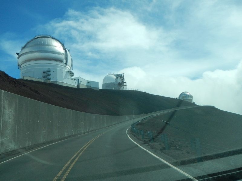
Majestic Maunakea, rising some 13,796 feet above sea level, hosts the world's largest astronomical observatory with telescopes operated by eleven countries. Its dry weather conditions, dark night skies and an elevation that places the summit above forty percent of the earth's atmosphere allow observation to the edges of the universe. The Visitors Information Station at Onizuka Center for International Astronomy, located at the 9,200-foot elevation, is open to the public.
Topics. This historical marker is listed in these topic lists: Asian Americans • Roads & Vehicles • Settlements & Settlers.
Location. 19° 41.206′ N, 155° 26.862′ W. Marker is near Waimea, Hawaii, in Hawaii County. Marker is on Daniel K. Inouye Highway (Saddle Road) (Route 200 at milepost 27) near Mauna Kea Access Road, on the left when traveling east. Touch for map. Marker is in this post office area: Kamuela HI 96743, United States of America. Touch for directions.
Other nearby markers. At least 6 other markers are within 14 miles of this marker, measured as the crow flies. Humu'ula Sheep Station (approx. 1.2 miles away); Pu'uhuluhulu (approx. 1.2 miles away); Pu'u'ō'ō - Volcano Trail (approx. 4.2 miles away); Saddle House - Hale Noho Lio (approx. 4.7 miles away); Hilo -- Pu'u'ō'ō Trail (Ka'ūmana Trail) (approx. 6.7 miles away); Once in their lifetime, silverswords erupt in flowers (approx. 14 miles away).
More about this marker. The marker is about a mile east of the Mauna Loa Access Road.
Credits. This page was last revised on March 20, 2022. It was originally submitted on November 28, 2017, by Barry Swackhamer of Brentwood, California. This page has been viewed 285 times since then and 29 times this year. Photos: 1, 2, 3, 4. submitted on November 28, 2017, by Barry Swackhamer of Brentwood, California.


