Near Hilo in Hawaii County, Hawaii — Hawaiian Island Archipelago (Pacific Ocean)
Hilo -- Pu'u'ō'ō Trail (Ka'ūmana Trail)
Daniel K. Inouye Highway
Inscription.
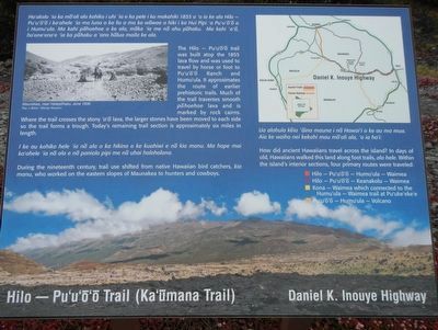
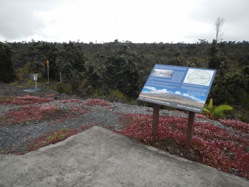
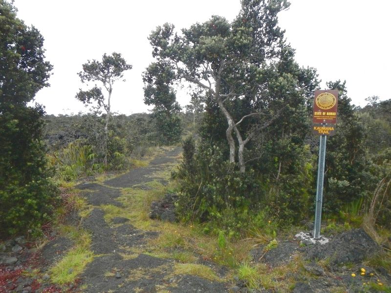
Hilo -- Pu'u'ō'ō trail was built atop the 1855 lava flow and was used to travel by horse of foot to Pu'u'ō'ō Ranch and Humu'ula. It approximates the route of earlier prehistoric trails. Much of the trail traverses smooth pāhoehoe lava and is marked by rock cairns.
Where the trail crosses the stony 'a'ā lava, the larger stones have been moved to each side so the trail forms a trough. Today's remaining trail section is approximately six miles in length.
During the nineteenth century, trail use shifted from native Hawaiians bird catchers, kia manu, who worked on the eastern slopes of Maunakea to hunters and cowboys.
Topics. This historical marker is listed in this topic list: Roads & Vehicles.
Location. 19° 40.332′ N, 155° 20.724′ W. Marker is near Hilo, Hawaii, in Hawaii County. Marker is on Daniel K. Inouye Highway (Saddle Road) (Hawaii Route 200 at milepost 23), on the left when traveling east. Touch for map. Marker is in this post office area: Hilo HI 96720, United States of America. Touch for directions.
Other nearby markers. At least 6 other markers are within 13 miles of this marker, measured as the crow flies. Saddle House - Hale Noho Lio (approx. 2 miles away); Pu'u'ō'ō - Volcano Trail (approx. 2.6 miles away); Humu'ula and Kala''i'ehā (approx. 6.7 miles away); Humu'ula Sheep Station (approx. 8 miles away); Pu'uhuluhulu (approx. 8 miles away); Once in their lifetime, silverswords erupt in flowers (approx. 12.7 miles away).

Photographed By Barry Swackhamer, September 1, 2017
2. Hilo -- Pu'u'ō'ō Trail (Ka'ūmana Trail) Marker, detail
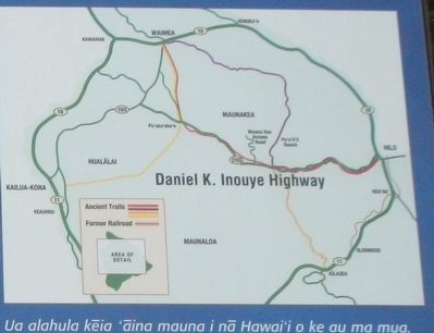
How did ancient Hawaiians travel across the island? In days of old, Hawaiians walked this land along foot trails, ala hele. Within the islands's interior sections, four primary routes were traveled:
(red) Hilo - Pu'u'ō'ō - Humu'ula - Waimea
(purple) Hilo - Pu'u'ō'ō - Keanakolu - Waimea
(yellow) Kona - Waimea which connected to the Humu'ula - Waimea trail at Pu'uke'eke
(orange) Pu'u'ō'ō - Humu'ula - Volcano
(red) Hilo - Pu'u'ō'ō - Humu'ula - Waimea
(purple) Hilo - Pu'u'ō'ō - Keanakolu - Waimea
(yellow) Kona - Waimea which connected to the Humu'ula - Waimea trail at Pu'uke'eke
(orange) Pu'u'ō'ō - Humu'ula - Volcano
Credits. This page was last revised on November 28, 2017. It was originally submitted on November 28, 2017, by Barry Swackhamer of Brentwood, California. This page has been viewed 265 times since then and 21 times this year. Photos: 1, 2, 3, 4. submitted on November 28, 2017, by Barry Swackhamer of Brentwood, California.


