Laurel in Jones County, Mississippi — The American South (East South Central)
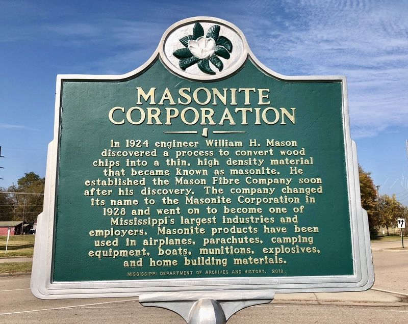
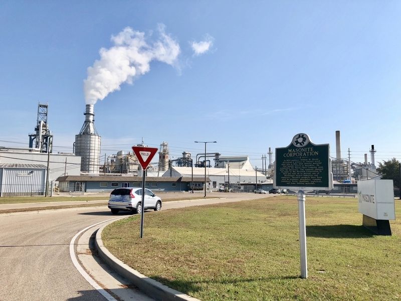
Masonite Corporation
Erected 2012 by Mississippi Department of Archives and History.
Topics and series. This historical marker is listed in this topic list: Industry & Commerce. In addition, it is included in the Mississippi State Historical Marker Program series list. A significant historical year for this entry is 1924.
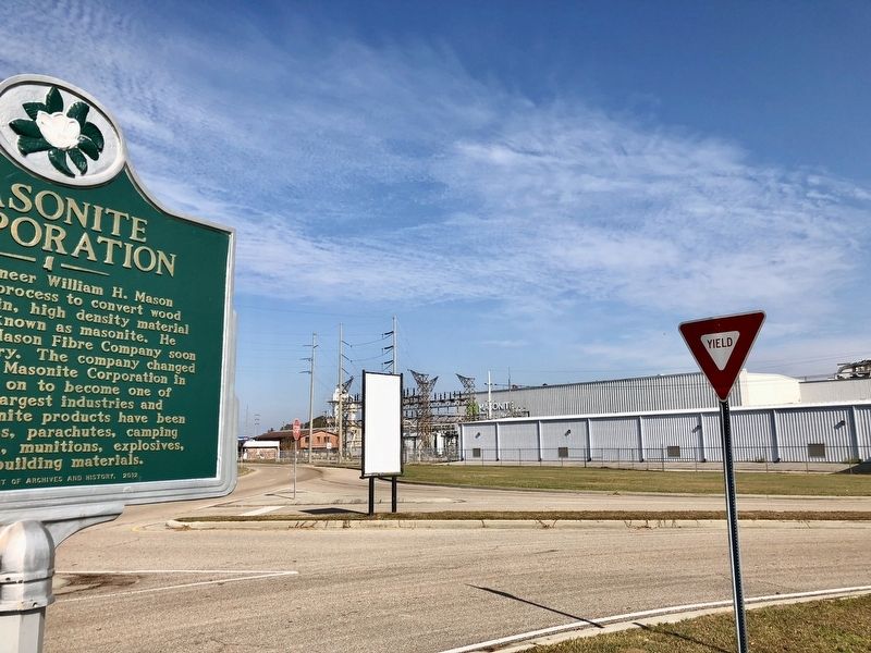
Location. 31° 40.728′ N, 89° 7.86′ W. Marker is in Laurel, Mississippi, in Jones County. Marker is at the intersection of Limbert Street and South 4th Avenue, on the right when traveling north on Limbert Street. Touch for map. Marker is at or near this postal address: 1001 South 4th Avenue, Laurel MS 39440, United States of America. Touch for directions.
Other nearby markers. At least 8 other markers are within 7 miles of this marker, measured as the crow flies. Dr. King Visits Laurel (approx. half a mile away); Oak Park School (approx. 0.7 miles away); Jones County Blues (approx. 0.9 miles away); Hotel Pinehurst (approx. one mile away); Laurel City Hall (approx. one mile away); Jones County Courthouse (approx. 1.1 miles away); Ralph Boston (approx. 1.1 miles away); Amos Deason Home (approx. 6.1 miles away). Touch for a list and map of all markers in Laurel.
Also see . . . Wikipedia article on the Masonite Company. (Submitted on December 3, 2017, by Mark Hilton of Montgomery, Alabama.)
Credits. This page was last revised on December 3, 2017. It was originally submitted on December 3, 2017, by Mark Hilton of Montgomery, Alabama. This page has been viewed 656 times since then and 74 times this year. Photos: 1, 2, 3. submitted on December 3, 2017, by Mark Hilton of Montgomery, Alabama.


