Donegal in Bulloch County, Georgia — The American South (South Atlantic)
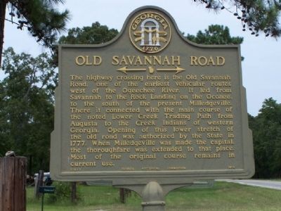
Old Savannah Road
←—→
Erected 1958 by Georgia Historical Commission. (Marker Number 016-5.)
Topics and series. This historical marker is listed in these topic lists: Colonial Era • Roads & Vehicles • Settlements & Settlers. In addition, it is included in the Georgia Historical Society series list. A significant historical year for this entry is 1777.
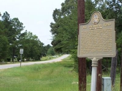
Location. 32° 32.741′ N, 81° 43.382′ W. Marker is in Donegal, Georgia, in Bulloch County. Marker is on Statesboro Highway (U.S. 301) near Old River Road North, on the right when traveling south. Located about 7 mi NE of Statesboro, 3/4 mile SE of Donegal. Touch for map. Marker is in this post office area: Statesboro GA 30458, United States of America. Touch for directions.
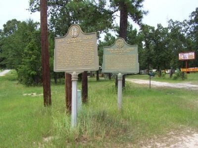
Other nearby markers. At least 8 other markers are within 6 miles of this marker , measured as the crow flies. Union Meeting House (a few steps from this marker); Louisville Road (approx. 3.3 miles away); The March to the Sea (approx. 3.3 miles away); Cooperville (approx. 3.3 miles away); a different marker also named Union Meeting House (approx. 3.4 miles away); Sherman's Advance (approx. 4.4 miles away); Rigdon’s Mill / The Rigdon Cemetery (approx. 5 miles away); Akins’ Mill Pond / The Families of Akins’ Mill Pond (approx. 5.8 miles away).
Credits. This page was last revised on March 20, 2019. It was originally submitted on September 6, 2008, by Mike Stroud of Bluffton, South Carolina. This page has been viewed 2,837 times since then and 18 times this year. Photos: 1, 2, 3. submitted on September 6, 2008, by Mike Stroud of Bluffton, South Carolina. • Craig Swain was the editor who published this page.


