Near Pāhoa in Hawaii County, Hawaii — Hawaiian Island Archipelago (Pacific Ocean)
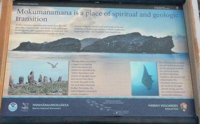
Mokumanamana is a place of spiritual and geologic transition
Inscription.
As these massive volcanoes move away from the hot spot, they cease to erupt, and slowly erode to become atolls, lagoons, and expansive sholes of coral reef. The island of Mokumanamana rises from the sea about halfway along the island chain and stands as the last remnants of much larger islands. It marks a milestone in geologic time - the transition from land to sea.
Though little more than a jagged rock jutting above the waves, the island was sanctified by Native Hawaiians with dozens of upright stones (photo bottom left) and sacred sites likely to mark the path of the sun and other heavenly bodies. For many, the entire island is revered as a heiau (temple).
The striking archaeological sites on Mokumanamana are the physical markers of a spiritual world. In Native Hawaiian tradition, this mysterious island marks the boundary between Ao, the world of the light and the living, and Pō, the world of spirits and primordial darkness.
Erected by National Park Service, Hawai'i Volcanoes National Park and Papahānaumokuākea Marine National Monument.
Topics. This historical marker is listed in these topic lists: Churches & Religion • Natural Features.
Location. 19° 17.724′ N, 155° 5.874′ W. Marker is near Pāhoa, Hawaii, in Hawaii County. Marker can be reached from Chain of Craters Road near Hilina Pali Road. Touch for map. Marker is in this post office area: Pahoa HI 96778, United States of America. Touch for directions.
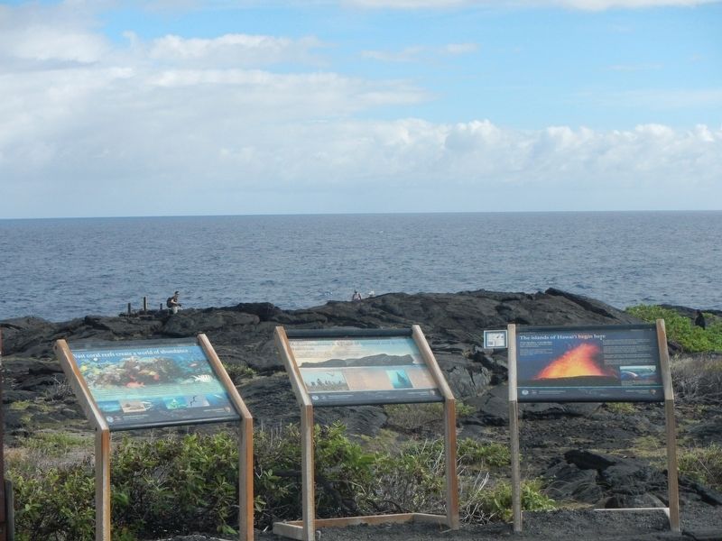
Other nearby markers. At least 8 other markers are within 7 miles of this marker, measured as the crow flies. The islands of Hawai'i begin here (a few steps from this marker); Vast coral reefs create a world of abundance (within shouting distance of this marker); Nature's Untamed Forces Unite to Sculpt Sea Arches (within shouting distance of this marker); These simple impressions embody the essence of Pu'uloa (approx. 1.6 miles away); The spirit of Pu'uloa now surrounds you (approx. 1.6 miles away); Hawaiians learned to survive on this harsh volcanic land (approx. 1.8 miles away); Preserved within Pu'uloa are the stories and memories of the Native Hawaiian people (approx. 2.1 miles away); Mauna Ulu (approx. 6.6 miles away). Touch for a list and map of all markers in Pāhoa.
More about this marker. This marker is located at the ocean end of Chain of Craters Road.
Credits. This page was last revised on December 4, 2017. It was originally submitted on December 4, 2017, by Barry Swackhamer of Brentwood, California. This page has been viewed 185 times since then and 17 times this year. Photos: 1, 2. submitted on December 4, 2017, by Barry Swackhamer of Brentwood, California.

