Near Lithia in Hillsborough County, Florida — The American South (South Atlantic)
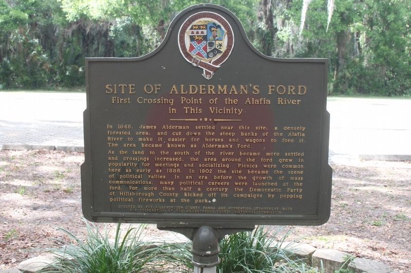
Site of Alderman's Ford
First Crossing Point of the Alafia River in This Vicinity
As the land to the south of the river became more settled and crossings increased, the area around the ford grew in popularity for meetings and socializing. Picnics were common here as early as 1888. In 1902 the site became the scene of political rallies. In an era before the growth of mass communications, many political careers were launched at the ford. For more than half a century the Democratic Party of Hillsborough County kicked off its campaigns by popping political fireworks at the park.
Erected by The Hillsborough County Parks and Recreation Department with the cooperation of the Hillsborough County Historical Commission.
Topics. This historical marker is listed in these topic lists: Government & Politics • Settlements & Settlers • Waterways & Vessels. A significant historical year for this entry is 1848.
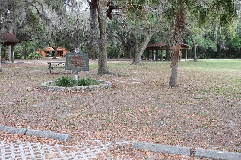
Location. 27° 52.055′ N, 82° 8.263′ W. Marker is near Lithia, Florida, in Hillsborough County. Marker can be reached from Aldermans Ford Park Drive, 0.3 miles south of Plant City-Picnic Road (County Road 39). Marker is located in the picnic area of loop road. Touch for map. Marker is at or near this postal address: 100 Aldermans Ford Park Drive, Plant City FL 33567, United States of America. Touch for directions.
Other nearby markers. At least 8 other markers are within 11 miles of this marker, measured as the crow flies. Site of Fort Alafia (approx. 0.2 miles away); Turkey Creek School (approx. 5.7 miles away); Glover School (approx. 6.2 miles away); Bealsville (approx. 6.6 miles away); Memoria In Aeterna, 1911 (approx. 10 miles away); Brandon Family Cemetery (approx. 10.1 miles away); Hillsborough County's Confederate Monument (approx. 10.1 miles away); Site of Methodist Episcopal Church South (approx. 10.1 miles away).
Credits. This page was last revised on December 6, 2017. It was originally submitted on December 4, 2017, by Tim Fillmon of Webster, Florida. This page has been viewed 627 times since then and 51 times this year. Photos: 1, 2. submitted on December 4, 2017, by Tim Fillmon of Webster, Florida. • Bernard Fisher was the editor who published this page.

