Hilo in Hawaii County, Hawaii — Hawaiian Island Archipelago (Pacific Ocean)
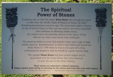
The Spiritual Power of Stones
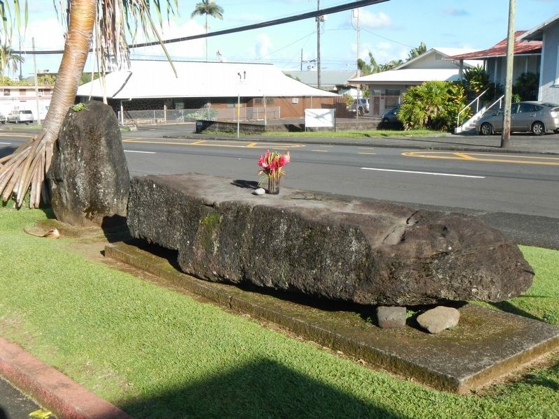
The physical ability to move this massive stone was a sign of high chiefly capacity. Kamehameha I is said to have lifted and moved the Naha Stone in 1789 while he was in his early 30s, thus confirming the prophecy that he would be a great warrior king.
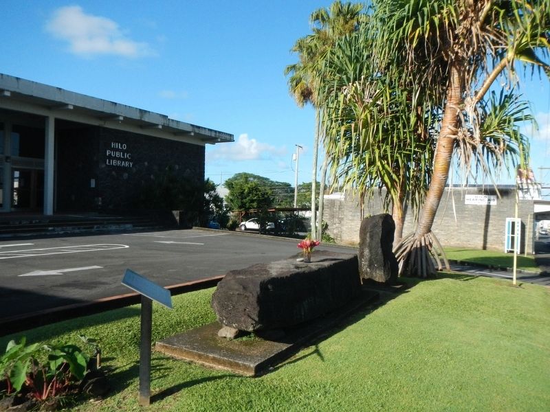
The upright Pinao Stone has less certain origins but is associated with the Pinao Heiau that once stood on or near the site of this State Library.
These stones are important cultural resources. Please refrain from sitting or standing on the stones and treat this area with respect
Erected by EnVision Downtown Hilo 2025 and Hilo Downtown Improvement Association.
Topics. This historical marker is listed in these topic lists: Anthropology & Archaeology • Churches & Religion. A significant historical year for this entry is 1789.
Location. 19° 43.467′ N, 155° 5.433′ W. Marker is in Hilo, Hawaii, in Hawaii County. Marker is on Waianuenue Avenue (County Route 200) near Ululani Street, on the left when traveling east. Touch for map. Marker is at or near this postal address: 300Waianuenue Avenue, Hilo HI 96720, United States of America. Touch for directions.
Other nearby markers. At least 8 other markers are within 6 miles of this marker, measured as the crow flies. Lyman House Memorial (approx. 0.2 miles away); Hilo Town Plantation Bell Tower (approx. 0.4 miles away); Mo'oheau Park and Bandstand (approx. 0.4 miles away); Kamehameha at Hilo Bay (approx. 0.9 miles away); Hilo Bay: In the days of Kamehameha (approx. 0.9 miles away); Waiakea Social Settlement Clock (approx. 1˝ miles away); Waiakea Town (Yashijima) (approx. 1˝ miles away); Onomea Bay (approx. 5.8 miles away). Touch for a list and map of all markers in Hilo.
More about this marker. The stones are located in front of the Hilo Public Library.
Credits. This page was last revised on December 6, 2017. It was originally submitted on December 6, 2017, by Barry Swackhamer of Brentwood, California. This page has been viewed 403 times since then and 42 times this year. Photos: 1, 2, 3. submitted on December 6, 2017, by Barry Swackhamer of Brentwood, California.


