City of London in Greater London, England, United Kingdom — Northwestern Europe (the British Isles)
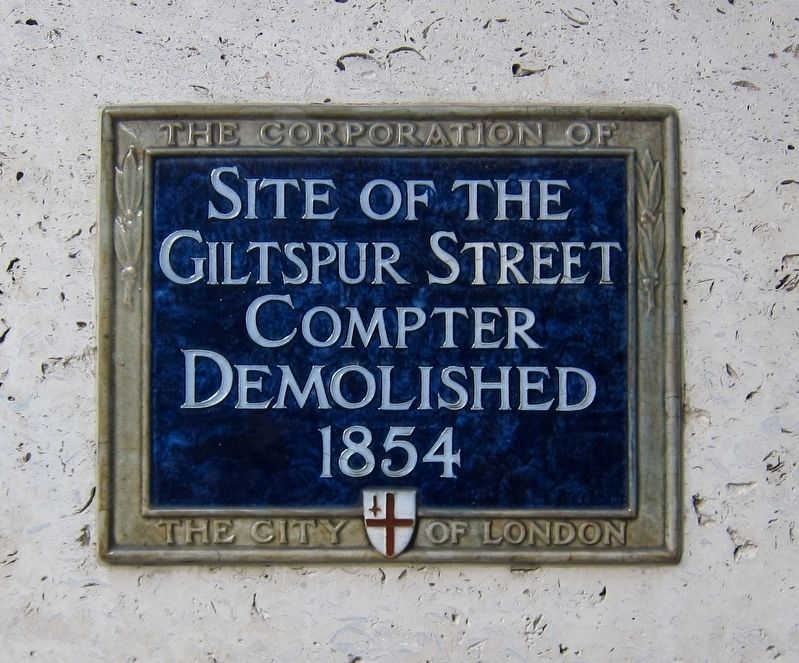
Giltspur Street Compter
Site of the
Giltspur Street
Compter
Demolished
1854
Erected by City of London Corporation.
Topics and series. This historical marker is listed in this topic list: Notable Buildings. In addition, it is included in the UK, England, City of London Corporation series list.
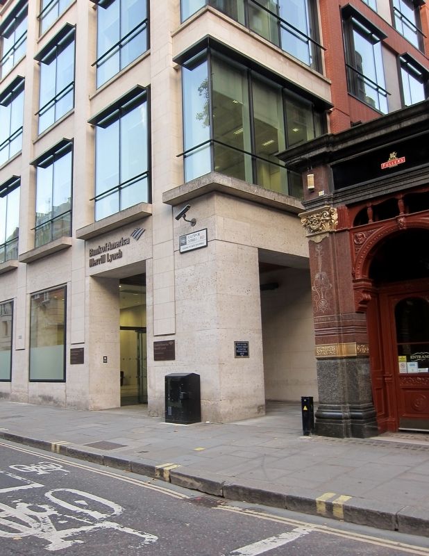
Location. 51° 30.981′ N, 0° 6.107′ W. Marker is in City of London, England, in Greater London. Marker is at the intersection of Giltspur Street and Newgate Street on Giltspur Street. Touch for map. Marker is in this post office area: City of London, England EC1A 1HQ, United Kingdom. Touch for directions.
Other nearby markers. At least 8 other markers are within walking distance of this marker. Mozzagrogna and Caldari War Memorial (within shouting distance of this marker); Charles Lamb (within shouting distance of this marker); The Royal Fusiliers (within shouting distance of this marker); The Church of the Holy Sepulchre (within shouting distance of this marker); Christ's Hospital (about 90 meters away, measured in a direct line); Grey Friars Monastery (about 90 meters away); The Golden Boy of Pye Corner (about 90 meters away); Royal College of Physicians (about 120 meters away). Touch for a list and map of all markers in City of London.
Also see . . . Giltspur Street Compter (Wikipedia) . "The Giltspur Street Compter was a compter or small prison, mainly used to hold debtors. It was situated in Giltspur Street, Smithfield, close to Newgate, in the City of London, between 1791 and 1853....The Compter was adjacent to Christ's Hospital boys school (1553-1902). Its construction began in 1787, and the Compter was ready for occupation in 1791. In 1815 it took some prisoners from the nearby Poultry Compter prior to its closure. The Giltspur Street prison was itself closed in 1853 and demolished in 1854, the site being later occupied by the King Edward Buildings Royal Mail Sorting Office." (Submitted on December 7, 2017.)
Additional keywords. prison
Credits. This page was last revised on January 27, 2022. It was originally submitted on December 7, 2017, by Andrew Ruppenstein of Lamorinda, California. This page has been viewed 376 times since then and 36 times this year. Photos: 1, 2. submitted on December 7, 2017, by Andrew Ruppenstein of Lamorinda, California.

