Near Joseph in Wallowa County, Oregon — The American West (Northwest)
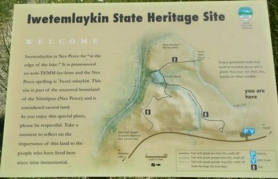
Iwetemlaykin State Heritage Site
Welcome
Inscription.
Iwetemlaykin is Nez Perce for "at the edge of the lake." It is pronounced ee-weh-TEMM-lye-kinn and the Nez Perce spelling is 'Iweté•mlaykin. This site is part of the ancestral homeland of the Nimigpuu (Nez Perce) and is considered sacred land. As you enjoy this special place, please be respectful. Take a moment to reflect on the importance of this land to the people who have lived here since time immemorial.
Erected by Oregon State Parks, U.S. Forest Service and Nez Perce Reservation.
Topics and series. This historical marker is listed in this topic list: Native Americans. In addition, it is included in the The Nez Perce Trail series list.
Location. 45° 20.562′ N, 117° 13.47′ W. Marker is near Joseph, Oregon, in Wallowa County. Marker is on Wallowa Lake Highway (Oregon Route 351) near South East Street, on the right when traveling south. Touch for map. Marker is in this post office area: Joseph OR 97846, United States of America. Touch for directions.
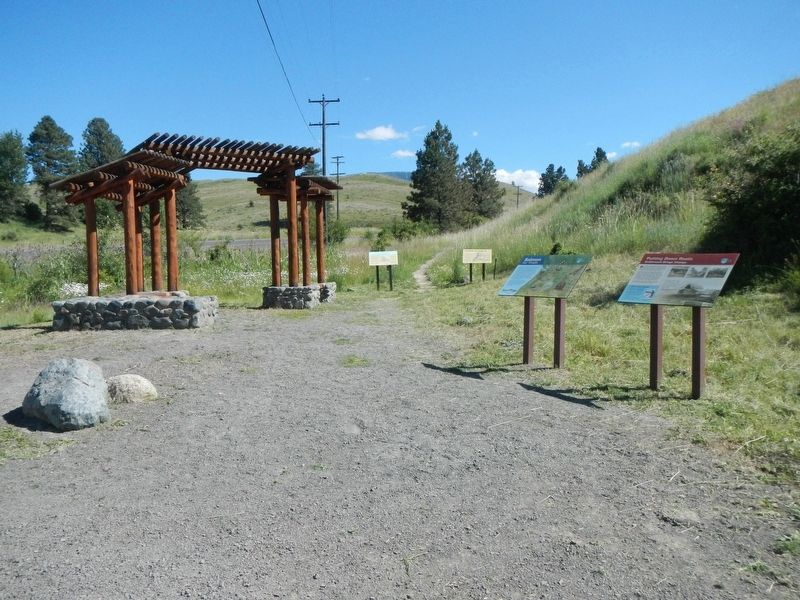
Other nearby markers. At least 8 other markers are within 7 miles of this marker, measured as the crow flies. Putting Down Roots (within shouting distance of this marker); Salmon for Trade (within shouting distance of this marker); "Only the sounds of the horses..." (within shouting distance of this marker); tiwi∙teqis (Old Chief Joseph) (approx. 0.4 miles away); Chief "Old" Joseph (approx. half a mile away); Wallowa Lake (approx. half a mile away); 19 Dr. J.W. Barnard Drugs 08 (approx. 0.7 miles away); Nez Perce (approx. 6.6 miles away). Touch for a list and map of all markers in Joseph.
Credits. This page was last revised on December 11, 2017. It was originally submitted on December 11, 2017, by Barry Swackhamer of Brentwood, California. This page has been viewed 206 times since then and 23 times this year. Photos: 1, 2. submitted on December 11, 2017, by Barry Swackhamer of Brentwood, California.

