Leakey in Real County, Texas — The American South (West South Central)
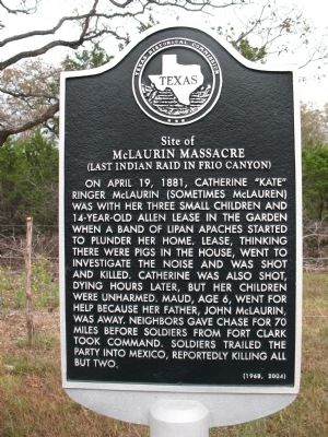
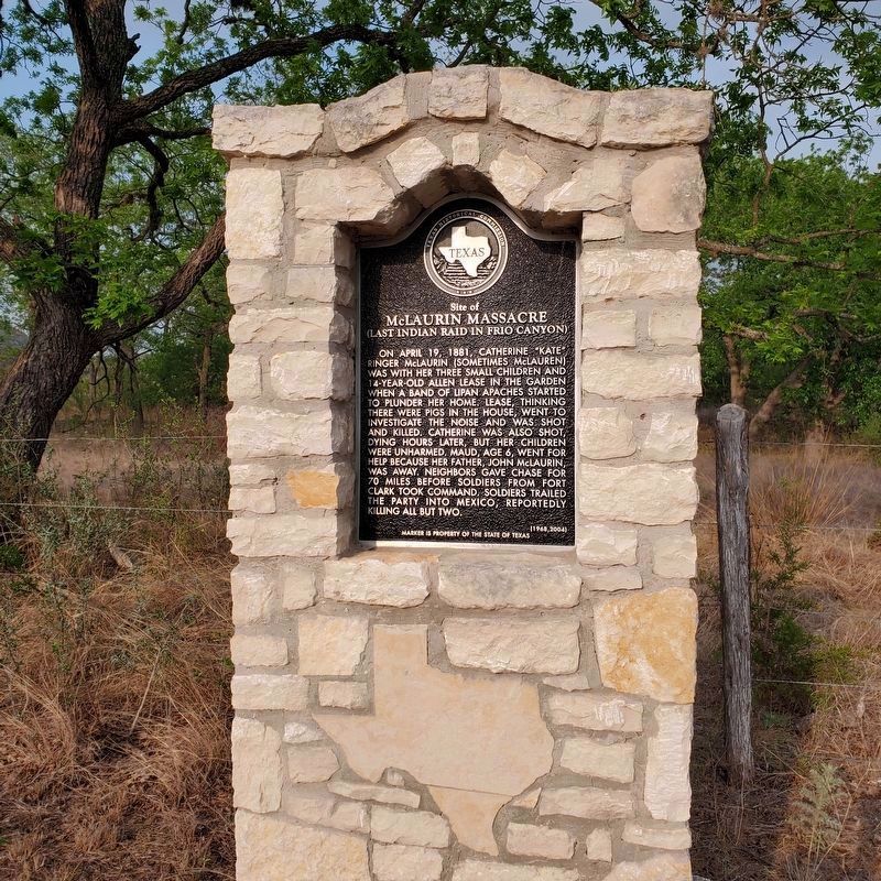
Site of McLaurin Massacre
(Last Indian Raid in Frio Canyon)
Inscription.
On April 19, 1881, Catherine "Kate" Ringer McLaurin (Sometimes McLauren) was with her three small children and 14-year old Allen Lease in the garden when a band of Lipan Apaches started to plunder her home. Lease, thinking there were pigs in the house, went to investigate the noise and was shot and killed. Catherine was also shot, dying hours later, but her children were unharmed. Maud, age 6, went for help because her father, John McLaurin, was away. Neighbors gave chase for 70 miles before soldiers from Fort Clark took command. Soldiers trailed the party into Mexico, reportedly killing all but two.
Erected 1968 by Texas Historical Commission. (Marker Number 4831.)
Topics. This historical marker is listed in these topic lists: Notable Events • Settlements & Settlers • Wars, US Indian. A significant historical month for this entry is April 1608.
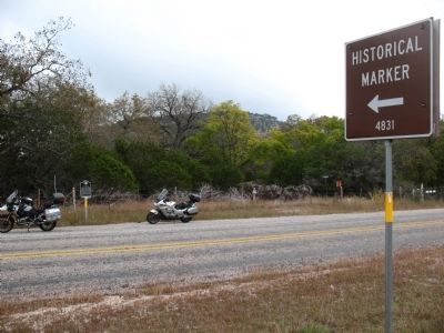
Location. 29° 48.76′ N, 99° 46.476′ W. Marker is in Leakey, Texas, in Real County. Marker is on Ranch Road 336 north of McClure Crossing, on the right when traveling north. Touch for map. Marker is in this post office area: Leakey TX 78873, United States of America. Touch for directions.
Other nearby markers. At least 8 other markers are within 7 miles of this marker, measured as the crow flies. Leakey School (approx. 5.8 miles away); Leakey Methodist Church (approx. 5.8 miles away); Leakey Church of Christ (approx. 5.9 miles away); John Leakey (approx. 6 miles away); Real County (approx. 6 miles away); Real County Courthouse (approx. 6 miles away); a different marker also named Real County (approx. 6 miles away); Leakey Cemetery (approx. 6.2 miles away). Touch for a list and map of all markers in Leakey.
More about this marker. Current marker placed in 2004 to replace original
Related markers. Click here for a list of markers that are related to this marker.
Also see . . . Conflict on the Frio. An article on the McLaurin Massacre by Linda Kirkpatrick. (Submitted on November 13, 2009.)
Credits. This page was last revised on October 11, 2022. It was originally submitted on November 11, 2009, by Bill Royal of Sun City Ctr, Florida. This page has been viewed 3,145 times since then and 130 times this year. Last updated on December 11, 2017, by Cosmos Mariner of Cape Canaveral, Florida. Photos: 1. submitted on November 11, 2009, by Bill Royal of Sun City Ctr, Florida. 2. submitted on October 11, 2022, by Rene Rendon of Seaside, California. 3. submitted on November 11, 2009, by Bill Royal of Sun City Ctr, Florida. • Bernard Fisher was the editor who published this page.


