The National Mall in Southwest Washington in Washington, District of Columbia — The American Northeast (Mid-Atlantic)
Moon
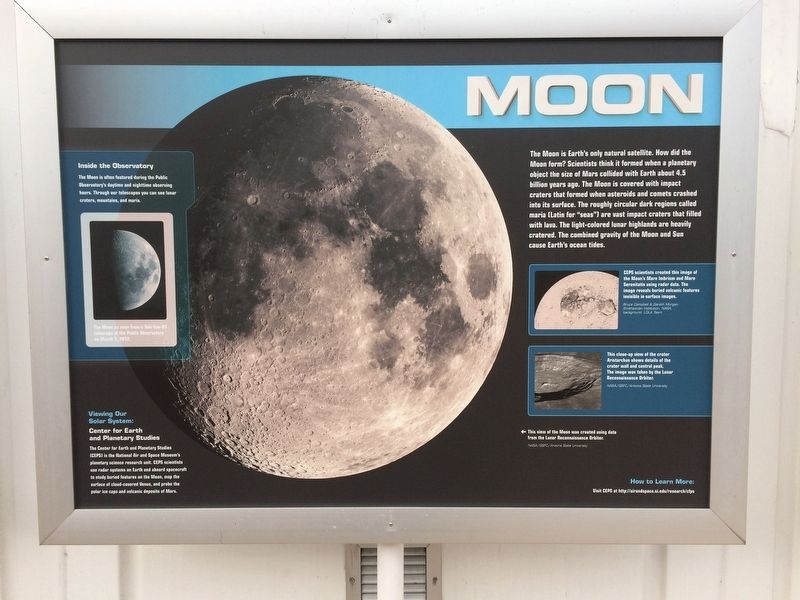
The Moon is Earth's only natural satellite. How did the Moon form? Scientists think it formed when a planetary object the size of Mars collided with Earth about 4.5 billion years ago. The Moon is covered with impact craters that formed when asteroids and comets crashed into its surface. The roughly circular dark regions called maria (Latin for "seas") are vast impact craters that filled with lava. The light-colored lunar highlands are heavily cratered. The combined gravity of the Moon and Sun cause Earth's ocean tides.
Captions:
Inside the Observatory
The moon is often featured during the Public Observatory's daytime and nighttime observing hours. Through our telescopes you can see lunar craters, mountains, and maria.
Viewing Our Solar System:
Center for Earth Planetary Studies
The Center for Earth and Planetary Studies (CEPS) is the National Air and Space Museum's planetary science research unit. CEPS scientists use radar systems on Earth and aboard spacecraft to study buried features on the Moon, map the surface of cloud-covered Venus, and probe the polar ice caps and volcanic deposits of Mars.
The Moon as seen from a Tele Vue-85 telescope at the Public Observatory on March 1, 2012.
CEPS scientists created this image of the Moon's Mare Imbrium and Mare Serenitatis using radar data. The image reveals buried volcanic features invisible in surface images.
Bruce Campbell & Gareth Morgan, Smithsonian Institution; NASA; background, LOLA Team
This close-up view of the crater Aristarchus shows details of the crater wall and central peak. The image was taken by the Lunar Reconnaissance Orbiter.
NASA/GSFC/Arizona State University
Caption of main image:
←This view of the Moon was created using data from the Lunar Reconnaissance Orbiter.
NASA/GSFC/Arizona State University
How to Learn More:
Visit CEPS at http://airandspace.si.edu/research/cfps
Erected by National Air and Space Museum.
Topics. This historical marker is listed in this topic list: Air & Space.
Location. 38° 53.273′ N, 77° 1.112′ W. Marker is in Southwest Washington in Washington, District of Columbia. It is in The National Mall. Marker is on Independence Avenue Southwest west of 4th Street Southwest, on the right when traveling west. Touch for map. Marker is in this post office area: Washington DC 20597, United States of America. Touch for directions.
Other nearby markers. At least 8 other markers are within walking distance of this marker. Venus (here, next to this marker); Phoebe Waterman Haas (here, next to this marker); Saturn (here, next to this marker);
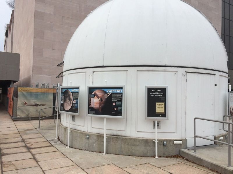
More about this marker. On the grounds of the National Air and Space Museum on the side of the Phoebe Waterman Haas Public Observatory.
Credits. This page was last revised on January 30, 2023. It was originally submitted on December 12, 2017, by Devry Becker Jones of Washington, District of Columbia. This page has been viewed 196 times since then and 13 times this year. Photos: 1, 2. submitted on December 12, 2017, by Devry Becker Jones of Washington, District of Columbia. • Bill Pfingsten was the editor who published this page.

