Near La Pryor in Zavala County, Texas — The American South (West South Central)
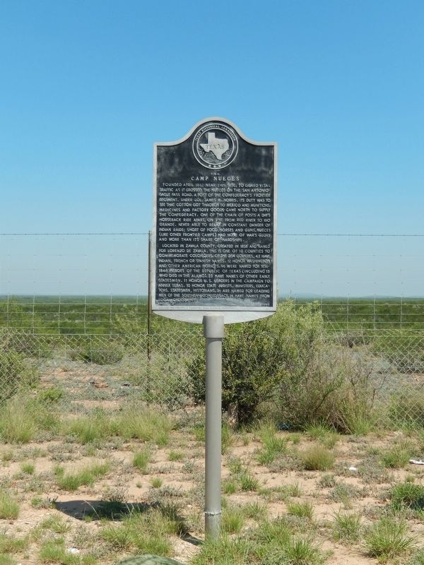
Camp Nueces C.S.A.
Founded April 1862 near this site, to guard vital traffic as it crossed the Nueces on the San Antonio-Eagle Pass Road. A post of the Confederacy's frontier regiment, under Col. James M. Norris. Its duty was to see that cotton got through to Mexico and munitions, medicines and factory goods came north to supply the Confederacy. One of the chain of posts a day's horseback ride apart, on line from Red River to Rio Grande. Never able to relax, in constant danger of Indian raids; short of food, horses and guns, Nueces (like other frontier camps) had none of war's glory and more than its share of hardships.
Located in Zavala County, created in 1858 and named for Lorenzo de Zavala. This is one of 10 counties to commemorate colonizers. Of the 254 counties, 42 have Indian, French or Spanish names. 12 honor Washington and other American patriots. 96 were named for 1836-1846 heroes of the Republic of Texas (including 15 who died in the Alamo). 23 have names of other early statesmen. 11 honor U.S. leaders in the campaign to annex Texas. 10 honor state jurists, ministers, educators, statesmen, historians. 36 are named for leading men of the southern Confederacy. 14 have names from local geography.
Erected 1983 by Texas Historical Commission. (Marker Number 669.)
Topics. This historical marker is listed in these topic lists: Patriots & Patriotism • Settlements & Settlers • War, US Civil. A significant historical month for this entry is April 1862.
Location. 29° 4.256′ N, 99° 50.533′ W. Marker is near La Pryor, Texas, in Zavala County. Marker is on U.S. 83, 9.7 miles north of U.S. 57, on the left when traveling north. The marker is located in a roadside park on west side of highway, just north of the Nueces River. Touch for map. Marker is in this post office area: La Pryor TX 78872, United States of America. Touch for directions.
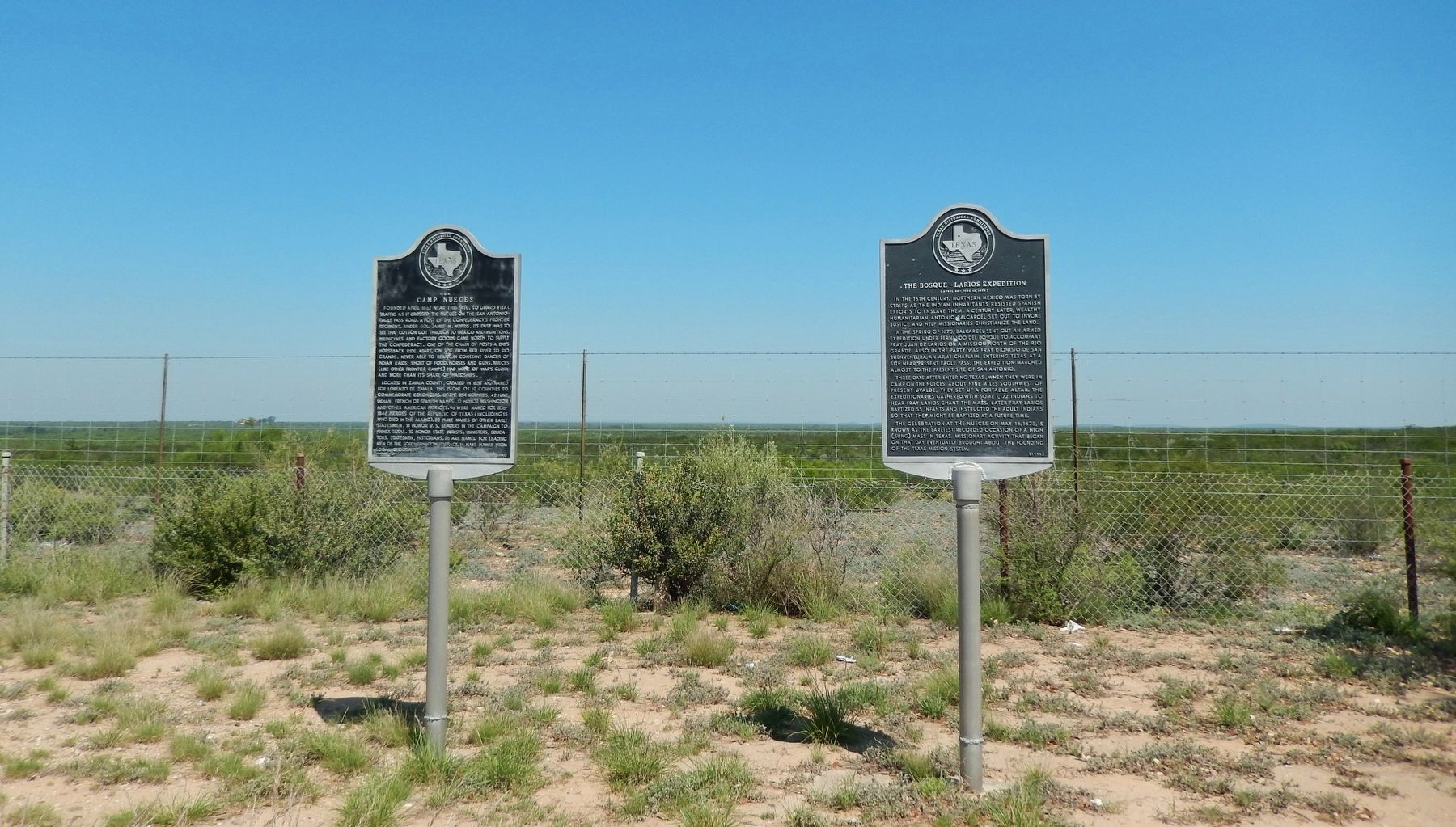
Other nearby markers. At least 8 other markers are within 9 miles of this marker, measured as the crow flies. The Bosque-Larios Expedition (here, next to this marker); Barracks for the Soldiers (approx. 8.7 miles away); Drawing of Fort Inge from this point of view (approx. 8.8 miles away); Picket Quartermaster Storehouse (approx. 8.8 miles away); Brush Arbor with Tents (approx. 8.8 miles away); Hospital and Commissary (approx. 8.8 miles away); Fort Wall (approx. 8.8 miles away); Site of Fort Inge (approx. 8.8 miles away).
Credits. This page was last revised on June 2, 2020. It was originally submitted on December 13, 2017, by Cosmos Mariner of Cape Canaveral, Florida. This page has been viewed 300 times since then and 28 times this year. Photos: 1, 2, 3. submitted on December 13, 2017, by Cosmos Mariner of Cape Canaveral, Florida. • Bernard Fisher was the editor who published this page.


