Capitol Hill in Northwest Washington in Washington, District of Columbia — The American Northeast (Mid-Atlantic)
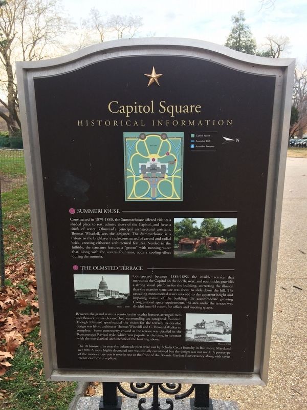
Capitol Square
Historical Information
1 Summerhouse
Constructed in 1879-1880 , the Summerhouse offers visitors a shaded place to rest, admire views of the Capitol, and have a drink of water. Olmstead's principal architectural assistant Thomas Wisedell, was the designer. The Summerhouse is a tribute to the bricklayer's craft-constructed of carved and radial brick, creating elaborate architectural features. Nestled in the hillside, the structure features a "grotto" with running water that, along with the central fountains, adds a cooling effect during the summer.
2 The Olmstead Terrace
Constructed between 1884-1892, the marble terrace that surrounds the Capitol on the north, west, and south sides provides a strong visual platform for the building, correcting the illusion that the massive structure was about to slide down the hill. The cascading monumental stairs also add to the apparent height and imposing nature of the building. To accommodate growing Congressional space requirements, the area under the terrace was divided into 93 rooms for offices and meeting spaces.
Between the grand stairs, a semi-circular exedra features arranged trees and flowers in an elevated bed surrounding an octagonal fountain. Though Olmsted spearheaded the vision for the terrace, its detailed design was left to architects Thomas Wisedell and C. Howard Walker to complete. Some controversy ensued as the terrace was detailed in the Romanesque Revival style, which was popular at the time, in contrast with the neo-classical architecture of the building above.
The 18 bronze urns atop the balustrade piers were cast by Schultz Co., a foundry in Baltimore, Maryland in 1890. A more highly decorated urn was initially envisioned but the design was not used. A prototype of the more ornate urn is now in use at the front of the Botanic Garden Conservatory along the seven recent cast bronze replicas.
Topics. This historical marker is listed in this topic list: Architecture. A significant historical year for this entry is 1879.
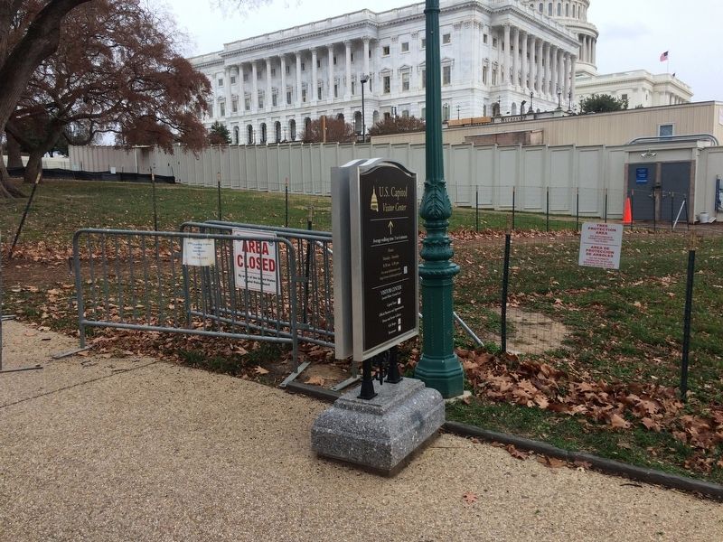
Location. 38° 53.496′ N, 77° 0.603′ W. Marker is in Northwest Washington in Washington, District of Columbia. It is in Capitol Hill. Marker is on Northwest Drive Northwest west of New Jersey Avenue Northwest, on the left when traveling west. On the grounds of the U.S. Capitol. Touch for map. Marker is at or near this postal address: 250 New Jersey Avenue Northwest, Washington DC 20001, United States of America. Touch for directions.
Other nearby markers. At least 8 other markers are within walking distance of this marker. Robert A Taft (about 500 feet away, measured in a direct line); a different marker also named Capitol Square (about 600 feet away); Capitol Square, NW (about 600 feet away); a different marker also named Capitol Square, NW (about 600 feet away);
Credits. This page was last revised on January 30, 2023. It was originally submitted on December 13, 2017, by Devry Becker Jones of Washington, District of Columbia. This page has been viewed 182 times since then and 8 times this year. Photos: 1, 2, 3. submitted on December 13, 2017, by Devry Becker Jones of Washington, District of Columbia. • Bill Pfingsten was the editor who published this page.


