Near Pendleton in Umatilla County, Oregon — The American West (Northwest)
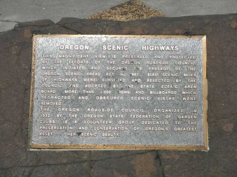
Oregon Scenic Highways
The Oregon Roadside Council, organized in 1932 by the Oregon State Federation of Garden Clubs, is a volunteer group dedicated to the preservation and conservation of Oregon's greatest asset -- her scenic beauty.
Erected by Oregon Roadside Council.
Topics. This historical marker is listed in this topic list: Roads & Vehicles.
Location. 45° 35.075′ N, 118° 37.274′ W. Marker is near Pendleton, Oregon, in Umatilla County. Marker is on Interstate 84 at milepost 224 near County Route 1021, on the right when traveling west. Touch for map. Marker is in this post office area: Pendleton OR 97801, United States of America. Touch for directions.
Other nearby markers. At least 8 other markers are within 10 miles of this marker, measured as the crow flies. Deadman Pass Oregon Trail Kiosk (approx. 5.6 miles away); The Intrepid Pioneers (approx. 8.2 miles away); Emigrant Springs Oregon Trail Kiosk (approx. 8.2 miles away); Emigrant Springs State Park (approx. 8.3 miles away); Pendleton (approx. 8.9 miles away); Pendleton Oregon Trail Kiosk (approx. 9.9 miles away); Byrd School (approx. 9.9 miles away); First Methodist Church (approx. 9.9 miles away). Touch for a list and map of all markers in Pendleton.
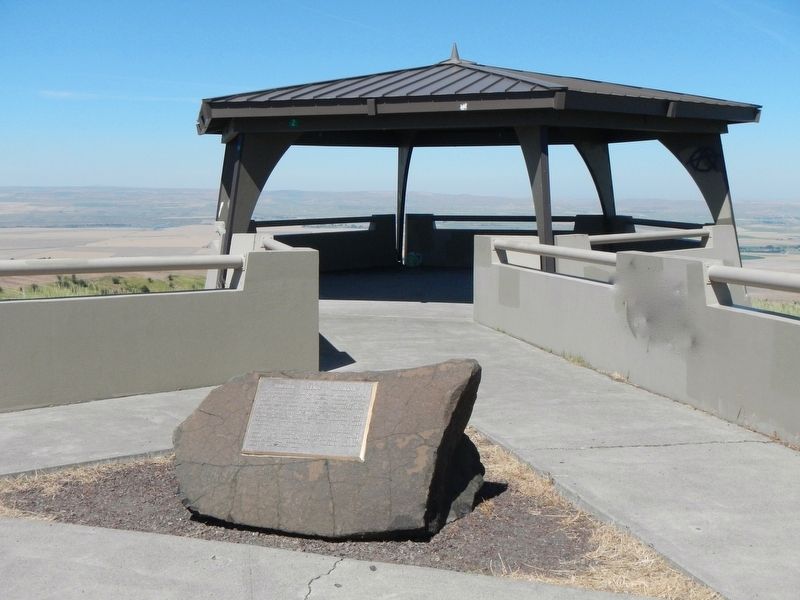
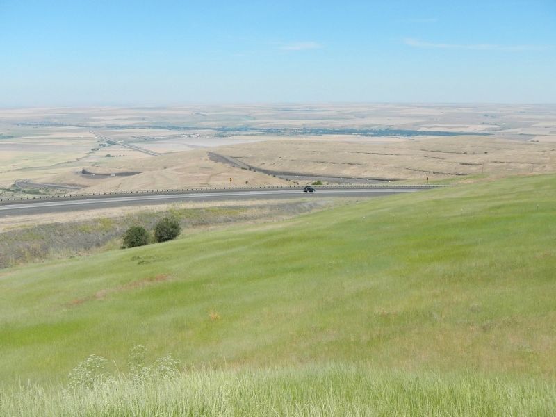
More about this marker. This marker is off of Interstate 84 Westbound at the Deadman Pass Lookout Area
Credits. This page was last revised on December 16, 2017. It was originally submitted on December 16, 2017, by Barry Swackhamer of Brentwood, California. This page has been viewed 280 times since then and 11 times this year. Photos: 1, 2, 3. submitted on December 16, 2017, by Barry Swackhamer of Brentwood, California.


