Eastham in Barnstable County, Massachusetts — The American Northeast (New England)
The Life Savers
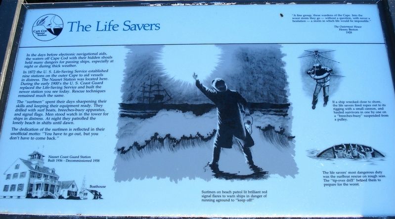
In the days before electronic navigational aids, the waters off Cape Cod with their hidden shoals held many dangers for passing ships, especially at night or during thick weather.
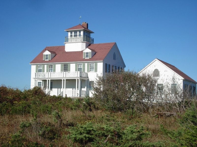
In 1872 the U.S. Life-Saving Service established nine stations on the outer Cape to aid vessels in distress. The Nauset Station was located here. During the early 1900’s the U.S. Coast Guard replaced the Life-Saving Service and built the newer station you see today. Rescue techniques remained much the same.
The “surfmen” spent their days sharpening their skills and keeping their equipment ready. They drilled with surf boats, breeches-buoy apparatus, and signal flags. Men stood watch in the tower for ships in distress. At night they patrolled the lonely beach in shifts until dawn.
Surfmen on beach patrol lit brilliant red signal flares to warn ships in danger of running aground to “keep off”.
If a ship wrecked close to shore, the life savers fired ropes out to its rigging with a small cannon, and hauled survivors in one by one on a “breeches-buoy” suspended from a pulley.
The life savers’ most dangerous duty was the surfboat rescue on rough seas. The “tip-over drill” helped them to prepare for the worst. The dedication of the surfmen is reflected in their unofficial motto: “You have to go out, but you don’t have to come back.”
Erected by Cape Cod National Seashore.
Topics. This historical marker is listed in these topic lists: Disasters • Waterways & Vessels. A significant historical year for this entry is 1872.
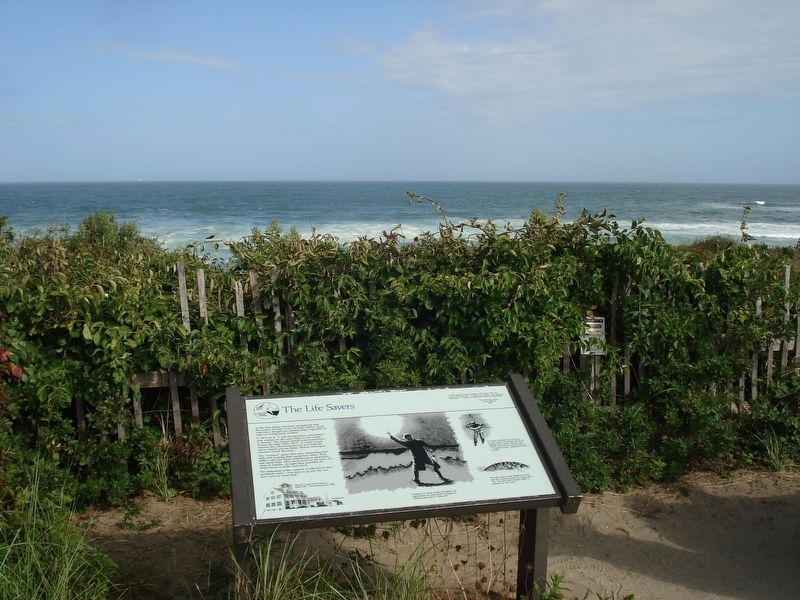
Location. Marker has been reported missing. It was located near 41° 50.61′ N, 69° 56.827′ W. Marker was in Eastham, Massachusetts, in Barnstable County. Marker could be reached from Ocean View Drive. The marker is located at the end of a short path between the two buildings of the former Nauset Coast Guard Station. The path starts at the parking lot in front of the buildings. Touch for map. Marker was at or near this postal address: 2 Ocean View Drive, Eastham MA 02642, United States of America. Touch for directions.
Other nearby markers. At least 8 other markers are within 2 miles of this location, measured as the crow flies. The Outermost House (here, next to this marker); Journey of the Mayflower (here, next to this marker); Coast Guard Beach: (a few steps from this marker); Outermost cliff and solitary dune… (about 300 feet away, measured in a direct line); Doane Rock (approx. 0.6 miles away); The Long, Black Cable (approx. 1.2 miles away); Pushed Back by the Sea (approx. 1.2 miles away); The Nauset Lights (approx. 1.2 miles away). Touch for a list and map of all markers in Eastham.
Also see . . .
1. U.S. Life-Saving Service. The U.S. Life-Saving Service Heritage Association website homepage (Submitted on December 17, 2017, by Alan M. Perrie of Unionville, Connecticut.)
2. United States Life-Saving Service. Wikipedia entry (Submitted on December 17, 2017, by Alan M. Perrie of Unionville, Connecticut.)
Credits. This page was last revised on July 18, 2021. It was originally submitted on December 17, 2017, by Alan M. Perrie of Unionville, Connecticut. This page has been viewed 267 times since then and 8 times this year. Last updated on October 17, 2019, by Alan M. Perrie of Unionville, Connecticut. Photos: 1, 2, 3. submitted on December 17, 2017, by Alan M. Perrie of Unionville, Connecticut. • Michael Herrick was the editor who published this page.


