Pendleton in Umatilla County, Oregon — The American West (Northwest)
Carnegie Building
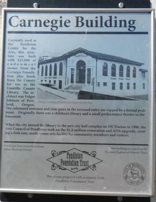
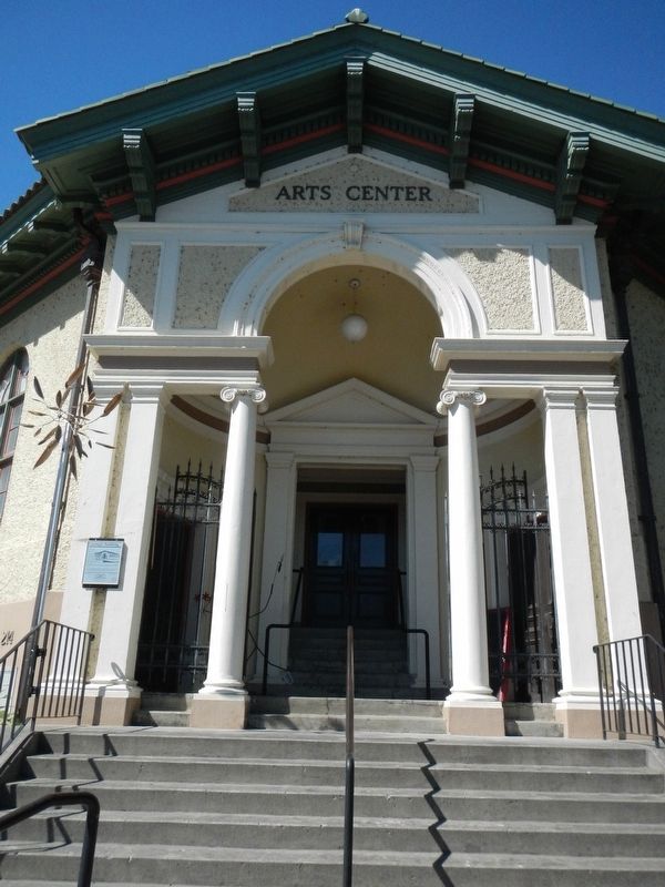
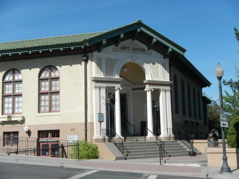
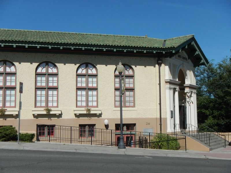
When the city moved the library to the new city hall complex on SW Dorion Street in 1996, the Arts Council of Pendleton took on the $1.8 million restoration and ADA upgrades, creating a first-rate, multi-venue arts facility for community members and visitors.
Erected by City of Pendleton.
Topics and series. This historical marker is listed in these topic lists: Education • Notable Buildings. In addition, it is included in the Carnegie Libraries series list.
Location. 45° 40.465′ N, 118° 47.323′ W. Marker is in Pendleton, Oregon, in Umatilla County. Marker is on North Main Street near Northwest Bailey Avenue, on the right when traveling north. Touch for map. Marker is at or near this postal address: 214 North Main Street, Pendleton OR 97801, United States of America. Touch for directions.
Other nearby markers. At least 8 other markers are within walking distance of this marker. First Christian Church (within shouting distance of this marker); Bowman Studio (within shouting distance of this marker); Donald C. Requa (about 300 feet away, measured in a direct line); Jackson Sundown (about 500 feet away); Chief Clarence T. Burke (about 500 feet away); Club Cigar Saloon (about 600 feet away); Judd Block (about 700 feet away); DeSpain Block (about 700 feet away). Touch for a list and map of all markers in Pendleton.
Credits. This page was last revised on December 24, 2017. It was originally submitted on December 24, 2017, by Barry Swackhamer of Brentwood, California. This page has been viewed 224 times since then and 18 times this year. Photos: 1, 2, 3, 4. submitted on December 24, 2017, by Barry Swackhamer of Brentwood, California.


