The Dalles in Wasco County, Oregon — The American West (Northwest)
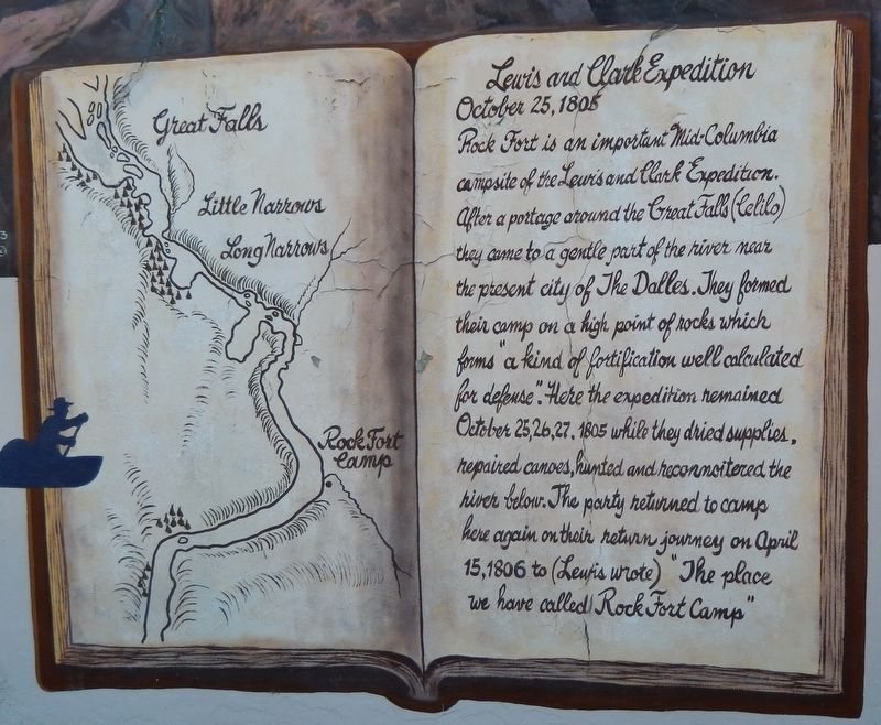
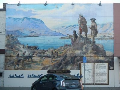
Rock Fort Camp
October 25, 1805
Erected 1993.
Topics and series. This historical marker is listed in these topic lists: Exploration • Forts and Castles. In addition, it is included in the Lewis & Clark Expedition series list. A significant historical date for this entry is October 25, 1805.
Location. 45° 36.048′ N, 121° 10.824′ W. Marker is in The Dalles, Oregon, in Wasco County. Marker is on East 2nd Street (Business U.S. 30) near Federal Street, on the right when traveling west. Touch for map. Marker is at or near this postal address: 401 East 2nd Street, The Dalles OR 97058, United States of America. Touch for directions.
Other nearby markers. At least 8 other markers are within walking distance of this marker. Decision at The Dalles (within shouting distance of this marker); Nickelsen Bookstore (within shouting distance of this marker); The Corps of Discovery "Into the Narrows" (within shouting distance of this marker); Wingate & Williams Building (about 300 feet away, measured in a direct line); I.O.O.F. (Odd Fellows) Hall (about 300 feet away); Maier Building (about 300 feet away); French and Company Bank (about 400 feet away); The Pioneer Building (about 400 feet away). Touch for a list and map of all markers in The Dalles.
More about this marker. The marker is on the Federal Street Side of the building.
Credits. This page was last revised on February 16, 2018. It was originally submitted on December 30, 2017, by Barry Swackhamer of Brentwood, California. This page has been viewed 238 times since then and 20 times this year. Photos: 1. submitted on February 16, 2018, by Cosmos Mariner of Cape Canaveral, Florida. 2. submitted on December 30, 2017, by Barry Swackhamer of Brentwood, California.

