Fredericksburg, Virginia — The American South (Mid-Atlantic)
Fall Hill Road
Fredericksburg: Timeless.
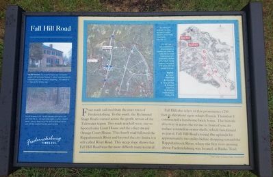
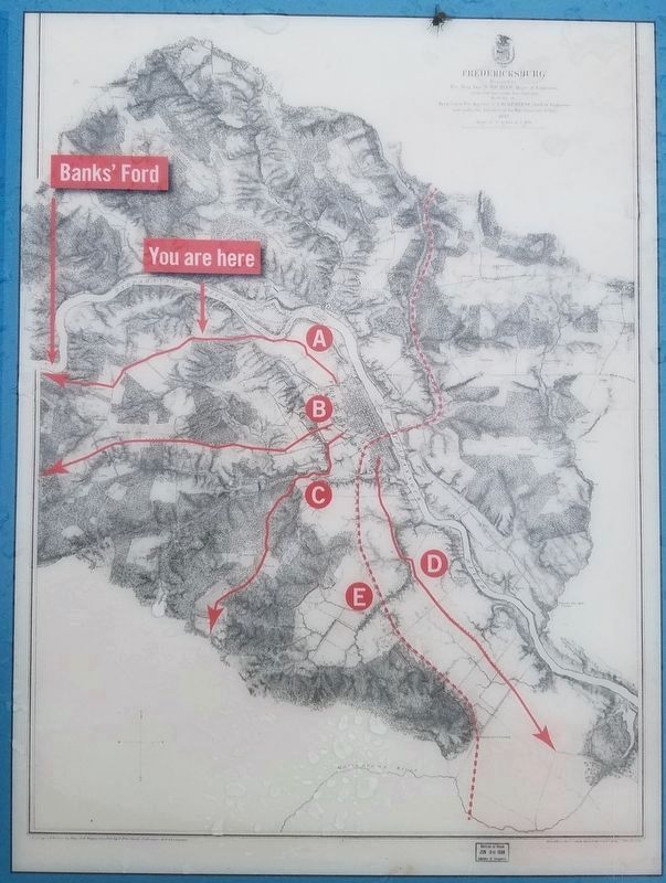
Four roads radiated from the river town of Fredericksburg. To the south, the Richmond Stage Road coursed across the gentle terrain of the Tidewater region. Two roads reached west, one to Spotsylvania Court House and the other toward Orange Court House. The fourth road followed the Rappahannock River and beyond the city limits it is still called River Road. This steep slope shows that Fall Hill Road was the more difficult route to travel.
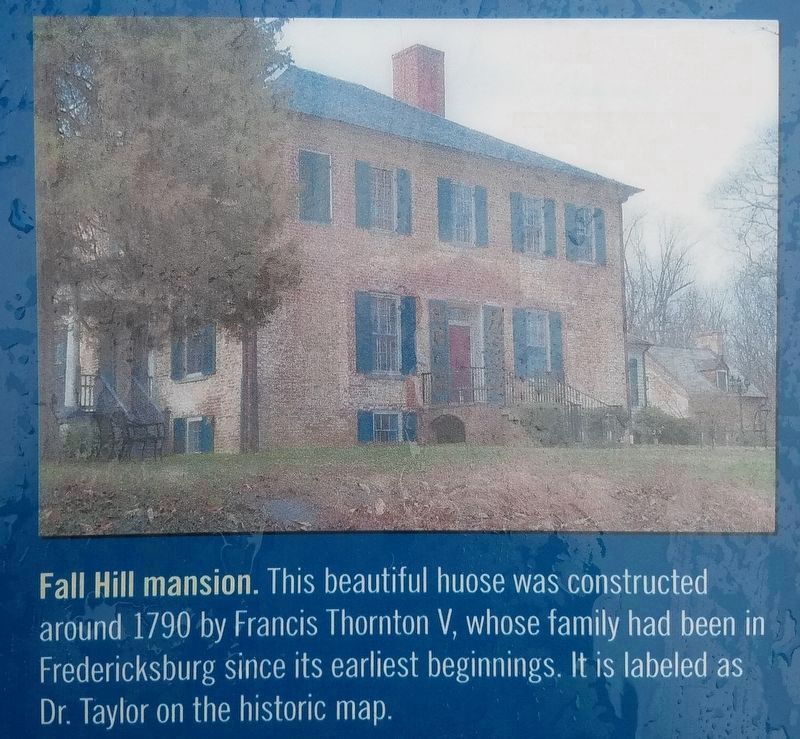
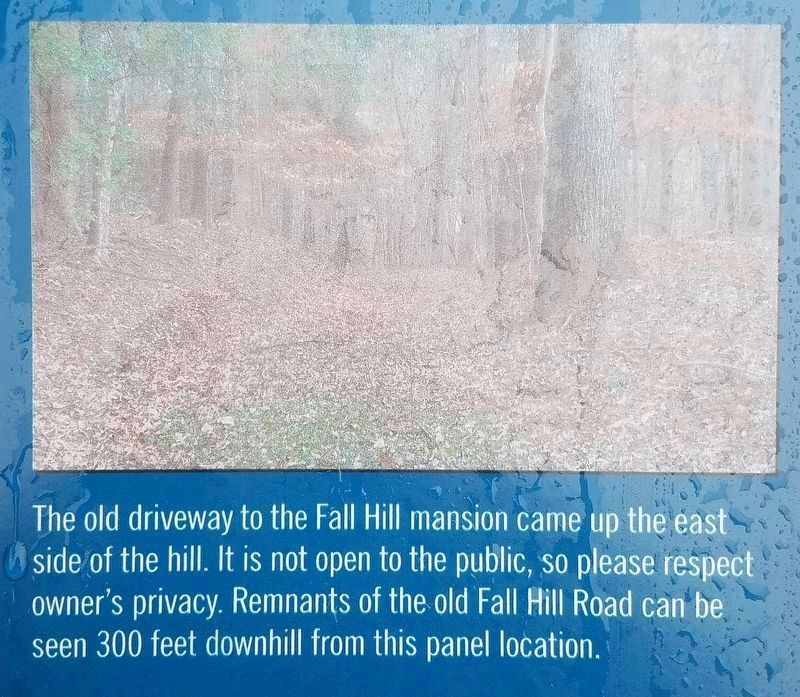
Fall Hill also refers to this prominence (210 feet in elevation) upon which Francis Thornton V constructed a handsome brick home. The historic driveway is across the ravine in front of you, its surface covered in oyster shells, which functioned as gravel. Fall Hill Road crossed the uplands for approximately two miles before dropping toward the Rappahannock River, where the first river crossing above Fredericksburg was located at Banks' Ford.
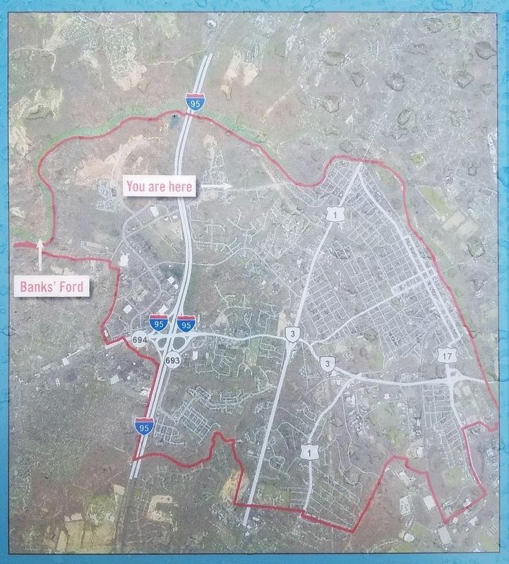
There are two maps pictured on the marker. The map on the left is captioned, "The Colonial era roads are still in use, upgraded to modern standards and crossing a new barrier - Interstate-95."
The map on the right is captioned, "This 1867 map was prepared by U.S. Army topographical engineers and shows the roads that connected Fredericksburg with points west. A portion of the historic Fall Hill roadbed is still evident in the woods, 300 feet downhill from here."
Erected by Fredericksburg Economic Development and Tourism Office.
Topics and series. This historical marker is listed in these topic lists: Roads & Vehicles • Settlements & Settlers. In addition, it is included in the Virginia, Fredericksburg: Timeless. series list. A significant historical year for this entry is 1867.
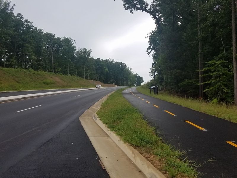
Location. 38° 18.939′ N, 77° 29.391′ W. Marker is in Fredericksburg, Virginia. Marker is on Fall Hill Avenue just west of Forrest Village Drive, on the right when traveling west. Touch for map. Marker is in this post office area: Fredericksburg VA 22401, United States of America. Touch for directions.
Other nearby markers. At least 8 other markers are within walking distance of this marker. Tactical Terrain (here, next to this marker); A Once Promising Canal Becomes a Raceway (approx. 0.2 miles away); Confederate Defenses in December 1862 (approx. 0.2 miles away); Confederate and Federal Defenses in May 1863 (approx. 0.2 miles away); Rappahannock River Heritage Trail (approx. ¼ mile away); Embrey Dam (approx. 0.4 miles away); Falls of the Rappahannock River (approx. 0.4 miles away); The Rappahannock River Runs Free Once More (approx. 0.4 miles away). Touch for a list and map of all markers in Fredericksburg.
More about this marker. According to a note in the bottom right of the marker, the panel was designed by Jackson Foster, The I.D.Entity®.
Photographed By Kevin W., August 23, 2017
4. Closeup picture from the Fall Hill Road Marker
Fall Hill mansion. This beautiful house was constructed around 1790 by Francis Thornton V, whose family had been in Fredericksburg since its earliest beginnings. It is labeled as a Dr. Taylor on the historic map.
Photographed By Kevin W., August 23, 2017
5. Closeup picture from the Fall Hill Road Marker
The old driveway to the Fall Hill mansion came up the east side of the hill. It is not open to the public, so please respect owner's privacy. Remnants of the old Fall Hill Road can be seen 300 feet downhill from this panel location.
Credits. This page was last revised on February 2, 2023. It was originally submitted on December 30, 2017, by Kevin W. of Stafford, Virginia. This page has been viewed 343 times since then and 34 times this year. Photos: 1, 2, 3, 4, 5, 6. submitted on December 30, 2017, by Kevin W. of Stafford, Virginia.
