Columbia Heights in Northwest Washington in Washington, District of Columbia — The American Northeast (Mid-Atlantic)
Community Builders
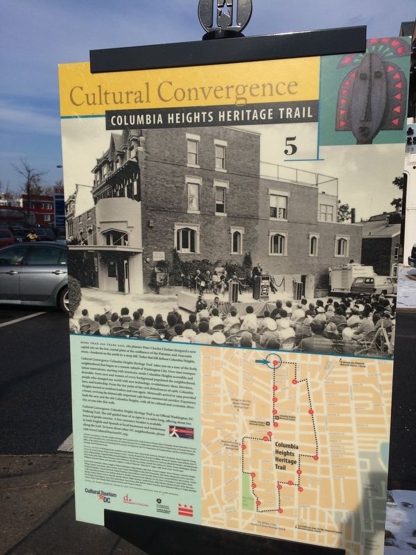
Cultural Convergence
— Columbia Heights Heritage Trail —
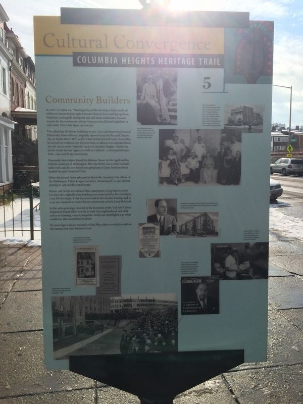
Harry Wardman, Washington's prolific developer, built nearly all of the 300 houses to your right between Monroe Street and Spring Road. Wardman, an English immigrant and self-made millionaire, became known for his rowhouses, whose front porches allowed neighbors to visit easily. These date from 1907 to 1911.
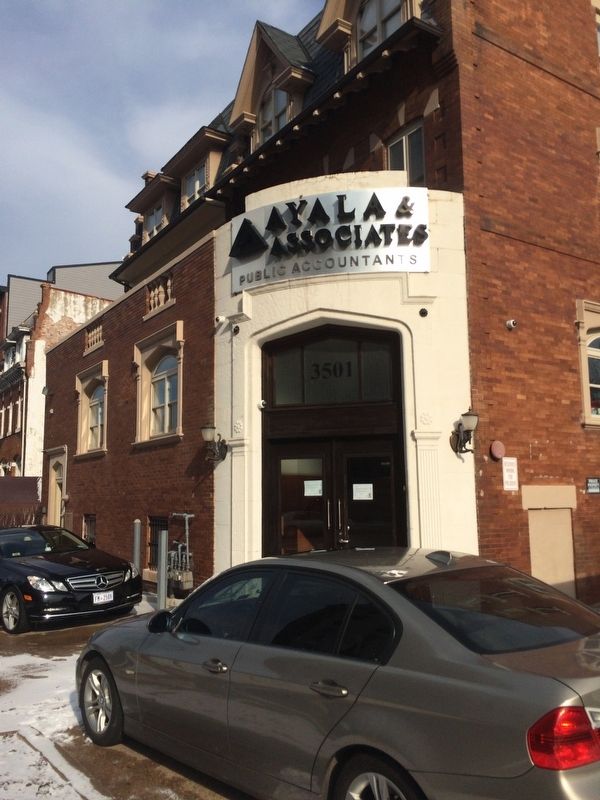
Two adjoining Wardman buildings at 3501-3503 14th Street once housed Danzansky Funeral Home, originally opened in 1921 by Bernard Danzansky on Ninth Street, NW, as DC's first Jewish funeral home. Soon after, he moved his residence and business here, as affluent Jews migrated from the old city to newer "suburbs" such as Columbia Heights. Nearby the Jewish Social Service Agency as well as a mikvah—a ritual purification bath—also served the community.
Dazansky later helped found the Hebrew House for the Aged and the Hebrew Academy of Washington. His wife Nettie was a leader in charitable work, and his son Joseph was president of Giant Food and twice headed the city's Board of Trade.
When the funeral home relocated to Rockville, Maryland, the offices of the Washington Urban League moved in, remaining for 30 years before moving to 14th and Harvard Streets.
Across 14th Street is Hubbard Place apartments. Long known as the Cavalier, the originally ritzy building was constructed by Morris Cafritz, a top DC developer. It was later converted to low-income housing, and in 2009 was renamed to honor the late community activist Leroy Hubbard.
In the 1980s growing crime led to the formation of the "red-hat" Citizen Organized Patrol Effort (COPE) to walk the neighborhood and alert police to loitering, vacant properties, burn-out street lights, and other conditions that contributed to crime.
To reach Sign 6, please proceed on Otis Place, then turn right on 13th to the intersection with Monroe Street.
Erected 2004 by Cultural Tourism DC. (Marker Number 5.)
Topics and series. This historical marker is listed in these topic lists: Architecture • Industry & Commerce. In addition, it is included in the Columbia Heights Heritage Trail series list. A significant historical year for this entry is 1907.
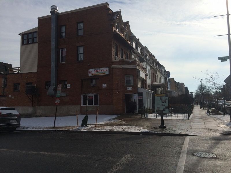
Location. 38° 56.069′ N, 77° 1.955′ W. Marker is in Northwest Washington in Washington, District of Columbia. It is in Columbia Heights. Marker is at the intersection of Otis Place Northwest and 14th Street Northwest on Otis Place Northwest. Touch for map. Marker is at or near this postal address: 3475 14th Street Northwest, Washington DC 20010, United States of America. Touch for directions.
Other nearby markers. At least 8 other markers are within walking distance of this marker. Growing Strong (approx. 0.2 miles away); St. Stephen & the Incarnation Episcopal Church (approx. 0.2 miles away); Moving between Old and New
More about this marker. Sign 6, noted to be located at 13th and Monroe Streets, is missing as of 12/30/2017
Credits. This page was last revised on January 30, 2023. It was originally submitted on December 31, 2017, by Devry Becker Jones of Washington, District of Columbia. This page has been viewed 234 times since then and 14 times this year. Last updated on March 7, 2019, by Devry Becker Jones of Washington, District of Columbia. Photos: 1, 2, 3, 4. submitted on December 31, 2017, by Devry Becker Jones of Washington, District of Columbia. • Bill Pfingsten was the editor who published this page.


