Bethesda in Montgomery County, Maryland — The American Northeast (Mid-Atlantic)
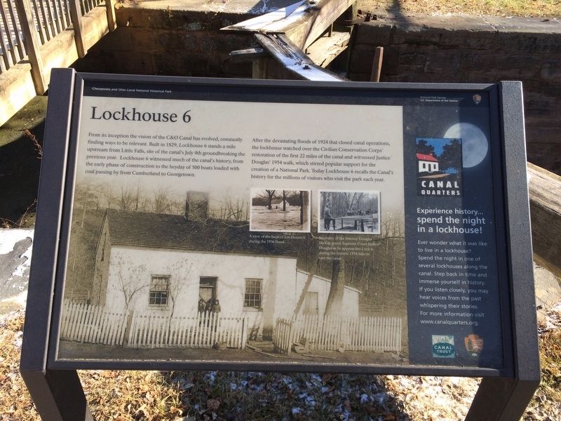
Lockhouse 6
Chesapeake and Ohio Canal National Historical Park
— National Park Service, U.S. Department of the Interior —
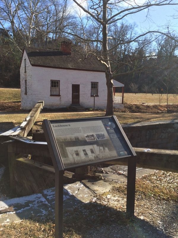
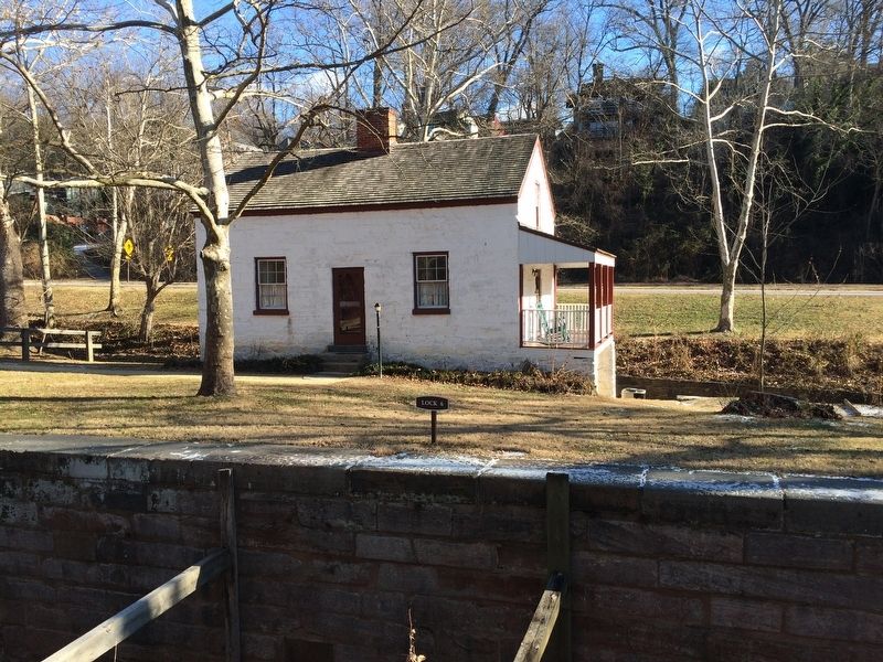
From its inception the vision of the C&O Canal has evolved, constantly finding ways to be relevant. Built in 1829, Lockhouse 6 stands a mile upstream from Little Falls, site of the canal's July 4th groundbreaking the previous year. Lockhouse 6 witnessed much of the canal's history, from the early phase of construction to the heyday of 500 boats loaded with coal passing by from Cumberland to Georgetown.
After the devastating floods of 1924 that closed canal operations the lockhouse watched over the Civilian Conservation Corps' restoration of the first 22 miles of the canal and witnessed Justice Douglas' 1954 walk, which stirred popular support for the creation of a National Park. Today Lockhouse 6 recalls the Canal's history for the millions of visitors who visit the park each year.
Erected by National Park Service, U.S. Department of the Interior.
Topics and series. This historical marker is listed in these topic lists: Industry & Commerce • Waterways & Vessels. In addition, it is included in the Chesapeake and Ohio (C&O) Canal series list. A significant historical date for this entry is July 4, 1828.
Location. 38° 56.691′ N, 77° 7.437′ W. Marker is in Bethesda, Maryland, in Montgomery County. Marker is on Clara Barton Parkway. On the grounds of Lock 6 at the Chesapeake and Ohio National Historical Park. Touch for map. Marker is at or near this postal address: 6100 Clara Barton Parkway, Bethesda MD 20816, United States of America. Touch for directions.
Other nearby markers. At least 8 other markers are within walking distance of this marker. A Way for Fish (approx. 0.3 miles away); Inlet Locks (approx. 0.4 miles away); The Dalecarlia Tunnel (approx. 0.4 miles away); The Georgetown Branch Railroad (approx. 0.6 miles away); Original Federal Boundary Stone, District of Columbia, Northwest 4 (approx. 0.7 miles away); Auxiliary Battery (approx. 0.7 miles away in Virginia); Fort Marcy (approx. ¾ mile away in Virginia); Fort Marcy, Virginia (approx. ¾ mile away in Virginia). Touch for a list and map of all markers in Bethesda.
Also see . . . Canal Quarters: Reserve Your Stay Back in Time!. (Submitted on January 1, 2018, by Devry Becker Jones of Washington, District of Columbia.)

Photographed By Devry Becker Jones (CC0), January 1, 2018
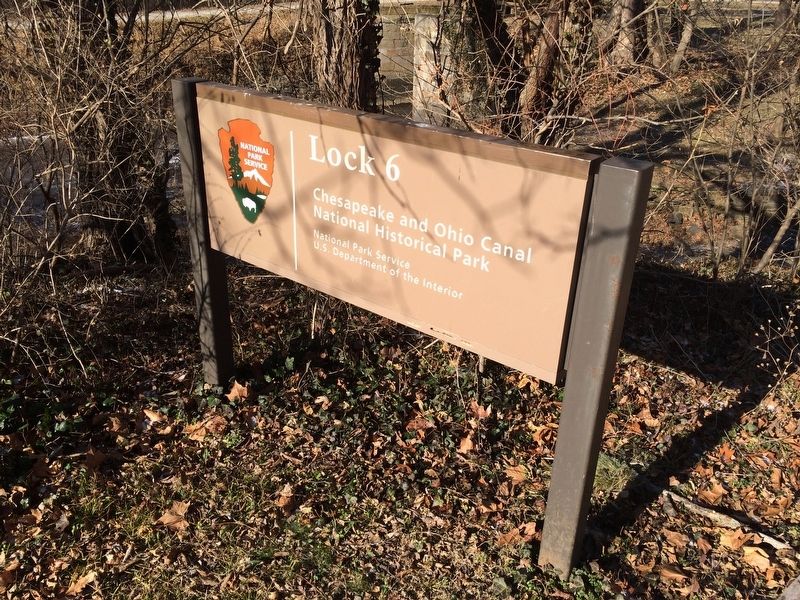
4. Lock 6 Sign
Lock 6
Chesapeake and Ohio Canal
National Historical Park
National Park Service
U.S. Department of the Interior
Credits. This page was last revised on September 20, 2021. It was originally submitted on January 1, 2018, by Devry Becker Jones of Washington, District of Columbia. This page has been viewed 281 times since then and 32 times this year. Photos: 1, 2, 3, 4. submitted on January 1, 2018, by Devry Becker Jones of Washington, District of Columbia. • Bill Pfingsten was the editor who published this page.


