Mobridge in Walworth County, South Dakota — The American Midwest (Upper Plains)
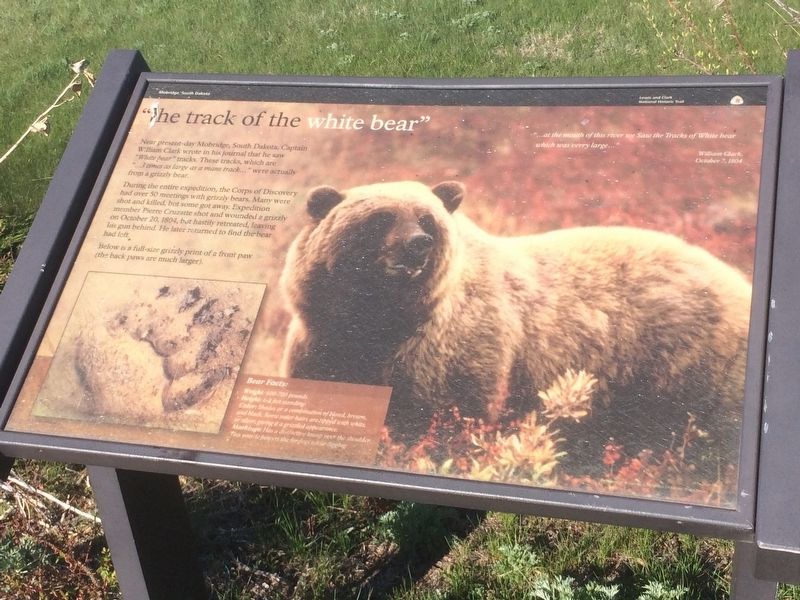
"the track of the white bear"
Near present-day Mobridge, South Dakota, Captain William Clark wrote in his journal that he saw "White bear" tracks. These tracks, which are "…3 times as large as a mans track…" were actually from a grizzly bear.
During the entire expedition, the Corps of Discovery had over 50 meetings with grizzly bears. Many were shot and killed, but some got away. Expedition member Pierre Cruzatte shot and wounded a grizzly on October 20, 1804, but hastily retreated, leaving his gun behind. He later returned to find the bear had left.
Below is a full-size grizzly print of a front paw (the back paws are much larger).
Bear Facts:
Weight: 600-700 pounds.
Height: 6-8 feet standing.
Color: Shades or a combination of blond, brown and black. Some outer hairs are ripped with white or silver, giving it a grizzled appearance.
Markings: Has a distinctive hump over the shoulder. This muscle powers the forelegs while digging.
Journal entry
"…at the mouth of this river we Saw the Tracks of White bear which was verry large…"
William Clark
October 7, 1804
Erected by Lewis and Clark National Historic Trail.
Topics and series. This historical marker is listed in these topic lists: Animals • Exploration • Native Americans. In addition, it is included in the Lewis & Clark Expedition series list.
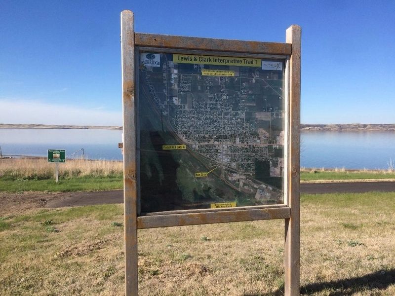
Location. 45° 31.811′ N, 100° 26.07′ W. Marker is in Mobridge, South Dakota, in Walworth County. Marker is at the intersection of Lewis & Clark Interpretive Trail 1 and Park Blvd on Lewis & Clark Interpretive Trail 1. The marker is located on the trail. Park at the lot off Park Blvd. The marker is near there. Touch for map. Marker is in this post office area: Mobridge SD 57601, United States of America. Touch for directions.
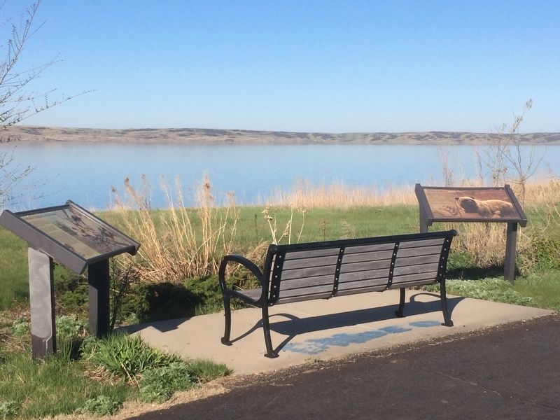
Other nearby markers. At least 8 other markers are within 2 miles of this marker, measured as the crow flies. A Valuable Member of the Team (here, next to this marker); Lewis and Clark/Mobridge (within shouting distance of this marker); "they just did a man's job" (approx. half a mile away); "Sakakawea and Lewis & Clark" (approx. half a mile away); Lewis and Clark Expedition (approx. ¾ mile away); Honored Leaders (approx. 0.9 miles away); A Final Resting Place (approx. 0.9 miles away); Lewis & Clark meet the Arikaras (approx. 1.4 miles away). Touch for a list and map of all markers in Mobridge.
Credits. This page was last revised on January 2, 2018. It was originally submitted on January 1, 2018, by Ruth VanSteenwyk of Aberdeen, South Dakota. This page has been viewed 234 times since then and 17 times this year. Photos: 1, 2, 3. submitted on January 1, 2018, by Ruth VanSteenwyk of Aberdeen, South Dakota. • Bill Pfingsten was the editor who published this page.


