North Newport News , Virginia — The American South (Mid-Atlantic)
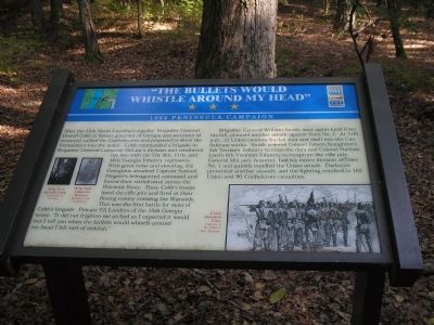
“The Bullets Would Whistle Around my Head”
1862 Peninsula Campaign
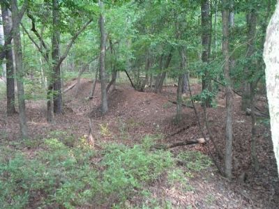
Brigadier General William Smith, once again lucid from his fall, planned another attack against Dam No. 1. At 5:00 p.m., 22 Union cannons hurled shot and shell into the Confederate works. Smith ordered Colonel Edwin Stoughton’s 4th Vermont Infantry to cross the dam and Colonel Nathan Lord’s 6th Vermont Infantry to recapture the rifle pits. General McLaws, however, had his entire division at Dam No. 1 and quickly repelled the Union attack. Darkness prevented another assault, and the fighting resulted in 165 Union and 90 Confederate casualties.
Erected by Virginia Civil War Trails.
Topics and series. This historical marker is listed in this topic list: War, US Civil. In addition, it is included in the Virginia Civil War Trails series list.
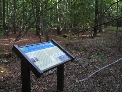
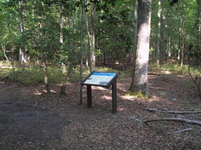
Location. 37° 11.187′ N, 76° 32.39′ W. Marker is in Newport News, Virginia. It is in North Newport News. Marker is on Constitution Way, on the left when traveling east. Marker is located in Newport News Park, on the Twin Forts Walking Trail, on the north side of Lee Hall Reservoir. Touch for map. Marker is in this post office area: Newport News VA 23603, United States of America. Touch for directions.
Other nearby markers. At least 8 other markers are within walking distance of this marker. “Just Like Sap – Boiling, in the Stream” (about 400 feet away, measured in a direct line); “Their Conduct was Worthy of Veterans” (about 500 feet away); “Every Kind of Obstruction was Skillfully Used” (about 600 feet away); One-Gun Battery (approx. 0.2 miles away); Third Regiment Vermont Volunteer Infantry (approx. 0.3 miles away); Battle of Lee’s Mill (Dam Number 1) (approx. 0.3 miles away); Battle of Dam No. 1 (approx. 0.3 miles away); Ten Pound Parrott Rifle and Limber (approx. 0.3 miles away). Touch for a list and map of all markers in Newport News.
More about this marker. The bottom right of the marker contains a drawing of the “Union Skirmish Line. Courtesy of the Virginia War Museum.”
The left of the marker features photographs of Brig. Gen Howell Cobb, University of Georgia and Brig. Gen. Lafayette McLaws, Museum of the Confederacy.
Related markers. Click here for a list of markers that are related to this marker. Markers on the Twin Forts Walking Trail in Newport News Park.
Also see . . .
1. Yorktown. CWSAC Battle Summaries. (Submitted on September 7, 2008, by Bill Coughlin of Woodland Park, New Jersey.)
2. Tidewater Virginia, The 1862 Peninsula Campaign. Civil War Traveler. (Submitted on September 7, 2008, by Bill Coughlin of Woodland Park, New Jersey.)
Credits. This page was last revised on February 1, 2023. It was originally submitted on September 7, 2008, by Bill Coughlin of Woodland Park, New Jersey. This page has been viewed 1,483 times since then and 16 times this year. Last updated on June 15, 2022, by James Dean of Chesterfield, Virginia. Photos: 1, 2, 3, 4. submitted on September 7, 2008, by Bill Coughlin of Woodland Park, New Jersey. • Bernard Fisher was the editor who published this page.


