Riverton in Barkhamsted in Litchfield County, Connecticut — The American Northeast (New England)
Barkhamsted Lighthouse Village Stone Quarry
A Connecticut State Archaeological Preserve
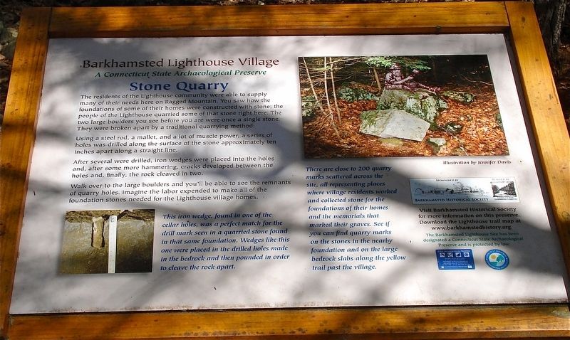
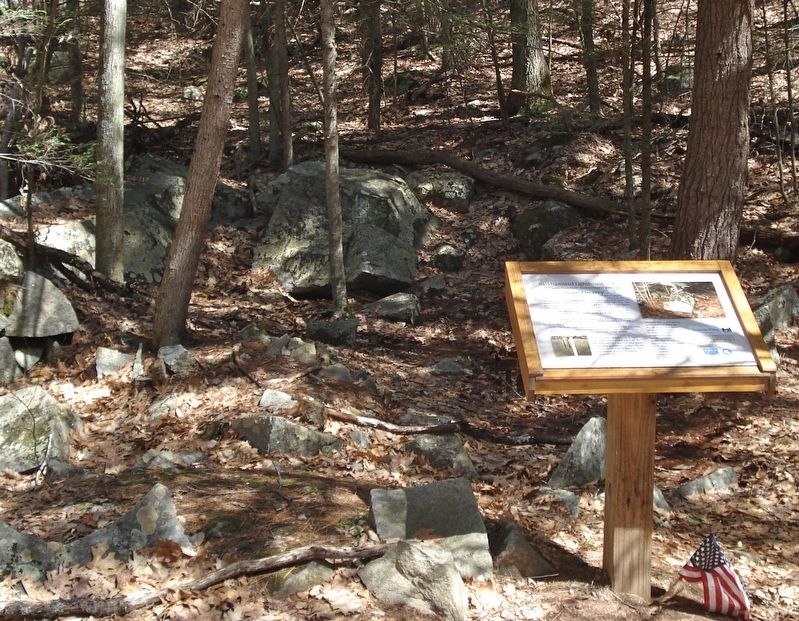
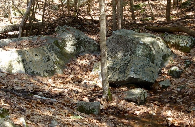
The residents of the Lighthouse community were able to supply many of their needs here on Ragged Mountain. You saw how the foundations of some of their homes were constructed with stone; the people of the Lighthouse quarried some of that stone right here. The two large boulders you see before you were once a single stone. They were broken apart by a traditional quarry method:
Using a steel rod, a mallet, and a lot of muscle power, a series of holes were drilled along the surface of the stone approximately ten inches apart along a straight line. After several were drilled, iron wedges were placed in the holes and, after some more hammering, cracks developed between the holes and, finally, the rocks cleaved in two.
Walk over to the large boulders and you’ll be able to see the remnants of quarry holes. Imagine the labor expended to make all of the foundation stones needed for the Lighthouse village homes.
Erected by Barkhamsted Historical Society.
Topics and series. This historical marker is listed in these topic lists: Native Americans • Settlements & Settlers. In addition, it is included in the Lighthouses series list.
Location. 41° 56.551′ N, 73° 0.372′ W. Marker is in Barkhamsted, Connecticut, in Litchfield County. It is in Riverton. Marker can be reached from East River Road, 1.7 miles Connecticut Route 2. The marker is located on the Lighthouse Trail, 0.38 miles from the trail-head. The trail starts at the Barkhamsted Lighthouse Village Marker found 1.7 miles south from state route 20 on East River Road. Touch for map. Marker is in this post office area: Barkhamsted CT 06063, United States of America. Touch for directions.
Other nearby markers. At least 8 other markers are within walking distance of this marker. Barkhamsted Lighthouse Village Grind Stone (here, next to this marker); Barkhamsted Lighthouse Village Cellar Holes (here, next to this marker); Barkhamsted Lighthouse Village Cemetery (within shouting distance of this marker); Barkhamsted Lighthouse Village Charcoal Kilns (within shouting distance of this marker); Peoples State Forest (about 300 feet away, measured in a direct line); Barkhamsted Lighthouse Village (about 300 feet away); Camp White (approx. 0.3 miles away); Henry Robinson Buck (approx. 0.3 miles away). Touch for a list and map of all markers in Barkhamsted.
Credits. This page was last revised on February 10, 2023. It was originally submitted on January 3, 2018, by Alan M. Perrie of Unionville, Connecticut. This page has been viewed 258 times since then and 16 times this year. Photos: 1, 2, 3. submitted on January 3, 2018, by Alan M. Perrie of Unionville, Connecticut. • Bill Pfingsten was the editor who published this page.


