White Hall in Lowndes County, Alabama — The American South (East South Central)
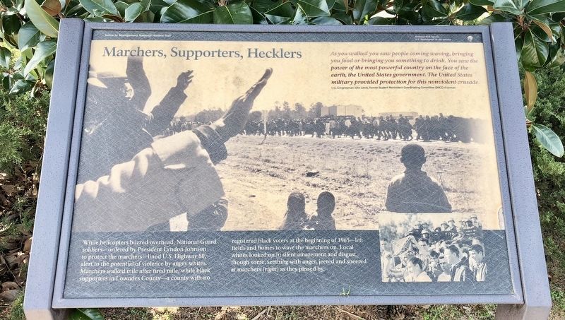
Marchers, Supporters, Hecklers
— Selma to Montgomery National Historic Trail —
As you walked you saw people coming, waving, bringing you something to drink. You saw the power of the most powerful country on the face of the earth, the United States government. The United States military provided protection for this nonviolent crusade.
Erected 2015 by the National Park Service, Department of the Interior.
Topics and series. This historical marker is listed in these topic lists: African Americans • Civil Rights. In addition, it is included in the Former U.S. Presidents: #36 Lyndon B. Johnson series list.
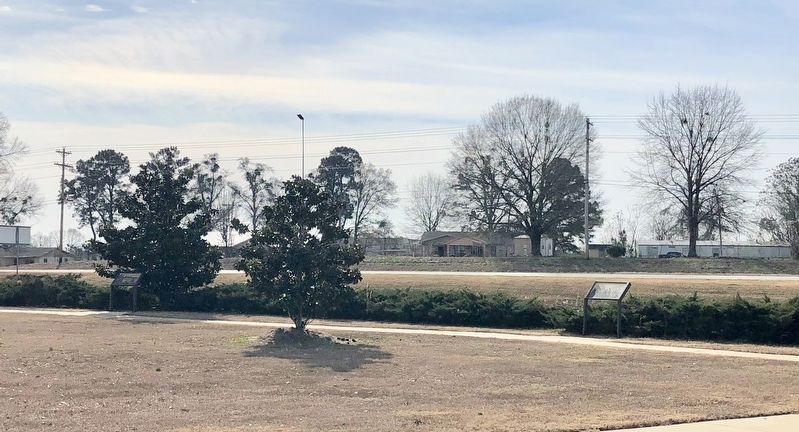
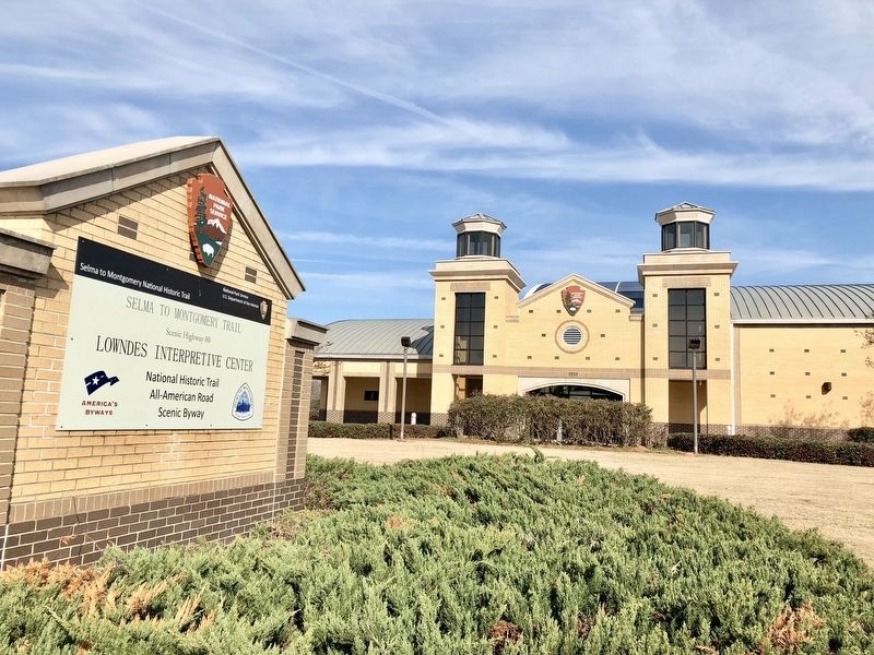
Location. 32° 16.201′ N, 86° 43.617′ W. Marker is in White Hall, Alabama, in Lowndes County. Marker can be reached from U.S. 80 west of White Hall Road. Located within the National Park Service Lowndes Interpretive Center. Touch for map. Marker is at or near this postal address: 7002 US-80, Hayneville AL 36040, United States of America. Touch for directions.
Other nearby markers. At least 8 other markers are within 2 miles of this marker, measured as the crow flies. Day Two (a few steps from this marker); No Isolated Incident (within shouting distance of this marker); You Gotta Move (within shouting distance of this marker); A Price Paid (within shouting distance of this marker); After the March—Tent City (about 400 feet away, measured in a direct line); It Started in Selma (about 400 feet away); Holy Ground Battlefield (about 700 feet away); Mount Gillard Baptist Church (approx. 1.2 miles away). Touch for a list and map of all markers in White Hall.
Regarding Marchers, Supporters, Hecklers. This National Park Service site is dedicated to those who peacefully marched 54 miles from Selma to the state capitol of Montgomery in order to gain the right to vote. This significant contribution to the trail serves as a reservoir of information about the unfortunate, yet significant, events that occurred in Lowndes County during the march. The museum exhibits interpret various events, including the confrontation of seminarian Jonathan Daniels; the slaying of Viola Liuzzo, a white woman who assisted the marchers by transporting them to Selma; and the establishment of Tent City,
made up of temporary dwellings filled with cots, heaters, food and water that benefited families dislodged by white landowners in Lowndes County.
The $10 million structure was made possible through collaborative efforts between the National Park Service, the Federal Highway Administration and the Alabama Department of Transportation. There are no entrance fees required to visit this center.
Credits. This page was last revised on November 9, 2021. It was originally submitted on January 7, 2018, by Mark Hilton of Montgomery, Alabama. This page has been viewed 452 times since then and 82 times this year. Photos: 1, 2, 3, 4. submitted on January 7, 2018, by Mark Hilton of Montgomery, Alabama.


