White Hall in Lowndes County, Alabama — The American South (East South Central)
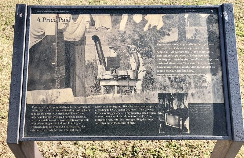
A Price Paid
— Selma to Montgomery National Historic Trail —
Drive-by shootings into Tent City were commonplace, according to SNCC staffer C.J. Jones. "Tent City was like a shooting gallery.... They used to come by three or four times a week and shoot into Tent City." For protection residents took turns guarding the camp and often hid in the bushes at night.
There were some people who had no option but to live in Tent City and we provided for those people as—as best we can...the community was always supportive to bring them food, clothing and anything else. I recall one...hepatitis outbreak there, and there was a lady who had a baby in the dead of winter and we thought we would lose her and the baby.
Leaving the tenant farms behind, Tent City residents moved into tight confines, surrounded by all their earthly possessions (left).
Erected 2015 by the National Park Service, Department of the Interior.
Topics. This historical marker is listed in these topic lists: African Americans • Civil Rights.
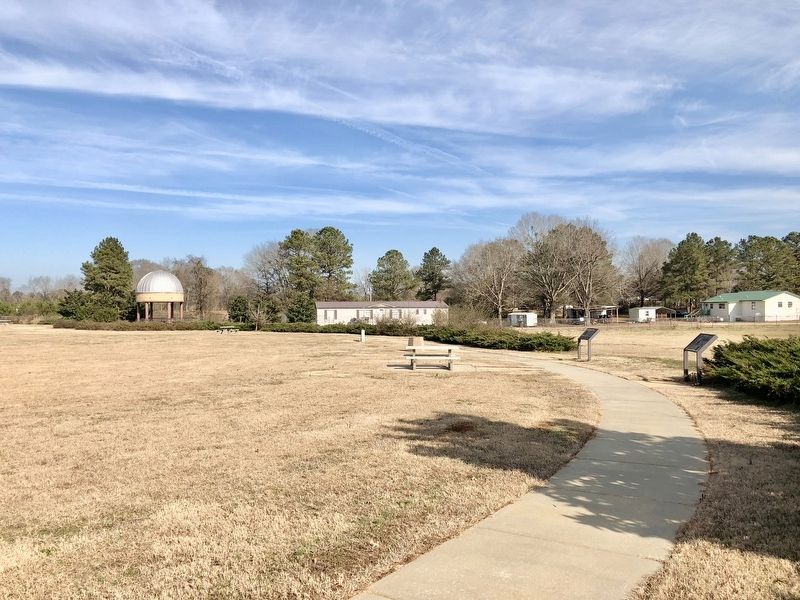
Location. 32° 16.218′ N, 86° 43.58′ W. Marker is in White Hall, Alabama, in Lowndes County. Marker can be reached from U.S. 80 west of White Hall Road. Located within the National Park Service Lowndes Interpretive Center. Touch for map. Marker is at or near this postal address: 7002 US-80, Hayneville AL 36040, United States of America. Touch for directions.
Other nearby markers. At least 8 other markers are within 2 miles of this marker, measured as the crow flies. No Isolated Incident (a few steps from this marker); Marchers, Supporters, Hecklers (within shouting distance of this marker); Day Two (within shouting distance of this marker); You Gotta Move (about 300 feet away, measured in a direct line); After the March—Tent City (about 500 feet away); It Started in Selma (about 500 feet away); Holy Ground Battlefield (about 500 feet away); Campsite 2 (approx. 1.2 miles away). Touch for a list and map of all markers in White Hall.
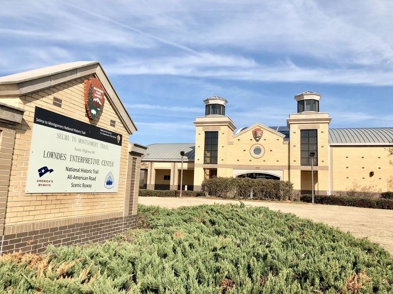
Regarding A Price Paid. This National Park Service site is dedicated to those who peacefully marched 54 miles from Selma to the state capitol of Montgomery in order to gain the right to vote. This significant contribution to the trail serves as a reservoir of information about the unfortunate, yet significant, events that occurred in Lowndes County during the march. The museum exhibits interpret various events, including the confrontation of seminarian Jonathan Daniels; the slaying of Viola Liuzzo, a white woman who assisted the marchers by transporting them to Selma; and the establishment of Tent City, made up of temporary dwellings filled with cots, heaters, food and water that benefited families dislodged by white landowners in Lowndes County.
The $10 million structure was made possible through collaborative efforts between the National Park Service, the Federal Highway Administration and the Alabama Department of Transportation. There are no entrance fees required to visit this center.
Credits. This page was last revised on November 9, 2021. It was originally submitted on January 7, 2018, by Mark Hilton of Montgomery, Alabama. This page has been viewed 566 times since then and 88 times this year. Photos: 1, 2, 3, 4. submitted on January 7, 2018, by Mark Hilton of Montgomery, Alabama.


